Cushion > Arts > Artists > W > Frederick de Wit
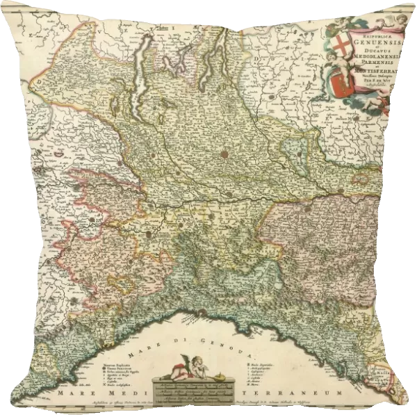
Cushion : Map Reipublicae Genuensis et ducatus mediolanensis Parmensis et Mont
![]()

Home Decor from Liszt Collection
Map Reipublicae Genuensis et ducatus mediolanensis Parmensis et Mont
Map, Reipublicae Genuensis et ducatus mediolanensis Parmensis et Montisferrati, Frederick de Wit (1630-1706), Copperplate print
Liszt Collection of nineteenth-century engravings and images to browse and enjoy
Media ID 19586822
© Artokoloro
1630 1706 Copperplate Print Frederick De Wit
Medium 18" Cushion (46x46cm)
18"x18" (46x46cm) Fibre filled cushion with a plush soft feel. Your choice of image fills the front, with a stone coloured faux suede back. Flat sewn concealed white zip.
Accessorise your space with decorative, soft cushions
Estimated Product Size is 45.7cm x 45.7cm (18" x 18")
These are individually made so all sizes are approximate
Artwork printed orientated as per the preview above, with landscape (horizontal) or portrait (vertical) orientation to match the source image.
FEATURES IN THESE COLLECTIONS
> Arts
> Artists
> W
> Frederick de Wit
> Maps and Charts
> Related Images
EDITORS COMMENTS
This print from the Liszt Collection showcases a remarkable piece of cartographic history - "Map Reipublicae Genuensis et ducatus mediolanensis Parmensis et Montisferrati" by Frederick de Wit. Crafted using copperplate printing techniques, this map is a true testament to De Wit's skill and artistry. The intricate details of this map transport us back in time, offering a glimpse into the political landscape of 17th-century Italy. The regions of Genoa, Milan, Parma, and Montisferrati are meticulously depicted with precision and elegance. Each city is marked with delicate symbols that denote their significance within these powerful territories. De Wit's mastery shines through in his careful rendering of geographical features such as rivers, mountains, and forests. The subtle use of color adds depth to the composition while maintaining an air of sophistication. As we gaze upon this print, we can't help but appreciate the historical importance it holds. It serves as a reminder of how maps were not only practical tools for navigation but also works of art that conveyed political power and territorial claims. Whether you're an avid collector or simply fascinated by history, this print offers a unique opportunity to own a piece from one of the most renowned cartographers in history. Display it proudly on your wall and let its beauty ignite conversations about our past and the ever-evolving world around us.
MADE IN THE UK
Safe Shipping with 30 Day Money Back Guarantee
FREE PERSONALISATION*
We are proud to offer a range of customisation features including Personalised Captions, Color Filters and Picture Zoom Tools
SECURE PAYMENTS
We happily accept a wide range of payment options so you can pay for the things you need in the way that is most convenient for you
* Options may vary by product and licensing agreement. Zoomed Pictures can be adjusted in the Basket.


