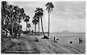
Framed Print
Antique Framed Print
Premium Framed Print
Canvas Print
Metal Print
Photographic Print
Poster Print
Fine Art Print
Mounted Print
Glass Frame
Acrylic Blox
Jigsaw Puzzle
Wooden Jigsaw Puzzle
Tote Bag
Photo Mug
Greetings Card
Cushion
Postcard
Mouse Mat
Glass Place Mat
Glass Coaster
Choose a picture from our collection for your Wall Art and Photo Gifts
14 Items
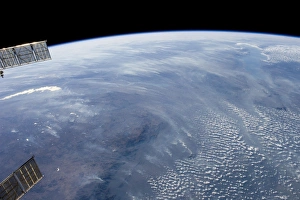
A smoke pall dominates this view of tropical southern AfricaJuly 23, 2011 - A smoke pall dominates this view of tropical southern Africa, one of the most fire-prone regions of the world
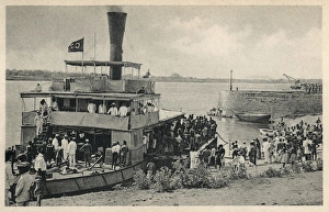
Steamer on Zambezi River, MozambiqueSteamer on the Zambezi River, Mozambique, with passengers and crew
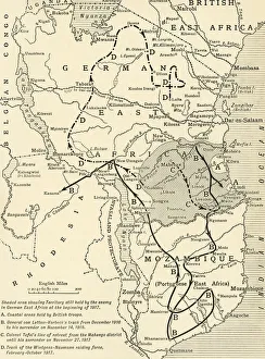
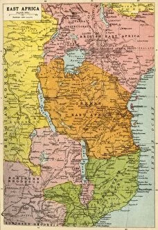
Colonial possessions in East Africa during the First World War, c1916, (c1920)
East Africa region, political map. Area with capitals, borders, lakes and important rivers. Easterly region of the African continent East Africa region, political map
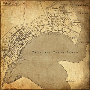
Dar es Salaam, TanzaniaAntique illustration of a Dar es Salaam, Tanzania
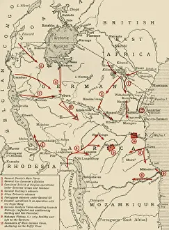
Map of East Africa, First World War, (c1920). Creator: John Bartholomew & SonMap of East Africa, First World War, (c1920). Map showing colonial possessions including the Belgian Congo, British East Africa, German East Africa, Northern Rhodesia and Portuguese East Africa
Sketch map of Central Africa, showing Dr. Livingstone's explorations, 1872. The explorations in which Dr
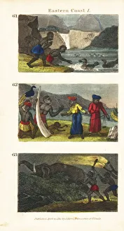
Scenes from the East Coast of Africa, 1820Ducks on the sacred lake on Comoro Island 61, Solomons merchants buying ivory and peacocks at Sofala, Mozambique 62, and natives with torches chasing a wild elephant in Mozambique 63
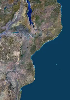
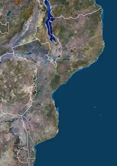
Mozambique and neighbouring countriesColor satellite image of Mozambique and neighbouring countries
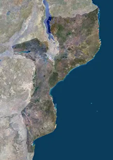
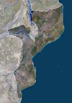
Mozambique with maskColor satellite image of Mozambique, with mask
Mozambique with bordersColor satellite image of Mozambique and neighbouring countries, with borders
Mozambique with borders and maskColor satellite image of Mozambique, with borders and mask
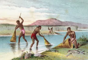
Natives Fishing On Lake Malawi Aka Lake Nyassa, Mozambique, East Africa In The 19Th Century. From The Life And Explorations Of Dr. Livingstone Published C.1875
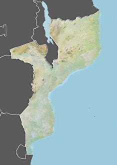
Mozambique, Relief Map With Border and MaskRelief map of Mozambique (with border and mask). This image was compiled from data acquired by landsat 5 & 7 satellites combined with elevation data