Acrylic Blox > Europe > United Kingdom > Scotland > Edinburgh > Edinburgh
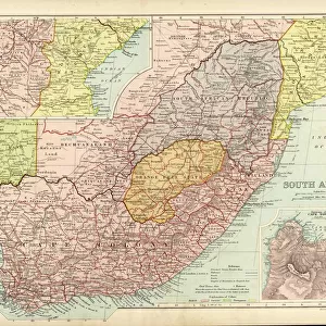
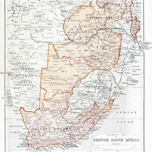
Acrylic Blox : Map of South Africa, 1902. Creator: Unknown


![]()
Mounted Prints from Heritage Images
Map of South Africa, 1902. Creator: Unknown
Map of South Africa, 1902. Showing the Cape Colony, Transvaal, Orange River Colony, and other colonial possessions including the British Protectorate of Bechuanaland, German South West Africa, From The Century Atlas of the World. [John Walker & Co, Ltd. London, 1902]
Heritage Images features heritage image collections
Media ID 15512614
© The Print Collector / Heritage-Images
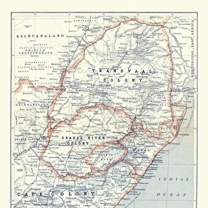
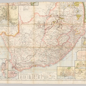
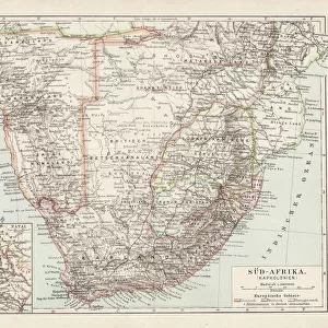
Cape Colony Colony Edinburgh Geographical Institute Imperialism Orange River Colony South Africa Transvaal Bechuanaland
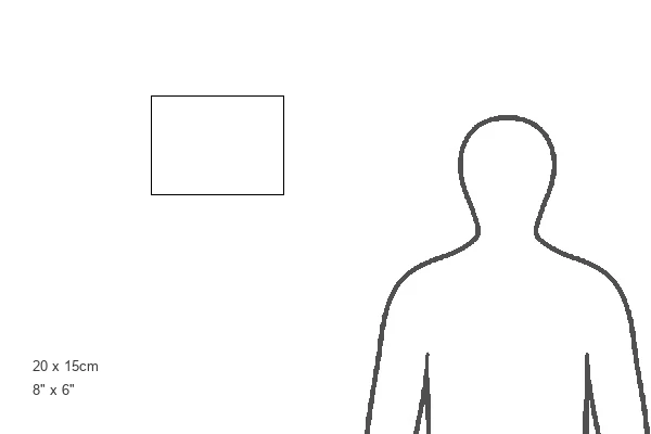
8"x6" (20x15cm) Acrylic Blox
Your photographic print is held in place by magnets and a micro thin sheet of metal covering the back of a 20mm piece of clear acrylic. Your print is held in place with magnets so can easily be replaced if needed.
Streamlined, one sided modern and attractive table top print
Estimated Product Size is 20.3cm x 15.2cm (8" x 6")
These are individually made so all sizes are approximate
Artwork printed orientated as per the preview above, with landscape (horizontal) orientation to match the source image.
FEATURES IN THESE COLLECTIONS
> Africa
> South Africa
> Maps
> Africa
> South Africa
> Related Images
> Europe
> United Kingdom
> Scotland
> Edinburgh
> Edinburgh
> Europe
> United Kingdom
> Scotland
> Lothian
> Edinburgh
> Maps and Charts
> Related Images
> Maps and Charts
> World
EDITORS COMMENTS
This print showcases a historical treasure - the Map of South Africa from 1902. Created by an unknown artist, this map provides a glimpse into the colonial landscape of that time. The intricate details highlight various regions, including the Cape Colony, Transvaal, Orange River Colony, and other colonial possessions such as the British Protectorate of Bechuanaland and German South West Africa. The vibrant colors used in this print bring life to each distinct territory depicted on the map. It is evident that great care was taken in its creation, ensuring accuracy and precision in representing South Africa's geography during this period. As we observe this piece from The Century Atlas of the World published by John Walker & Co. , Ltd. in London in 1902, it serves as a reminder of both imperialism and colonialism prevalent at that time. This map reflects not only geographical information but also sheds light on historical events shaping South Africa's past. Preserved by The Print Collector and shared through Heritage Images, this photograph allows us to appreciate how maps have played a crucial role throughout history in understanding our world's ever-changing political boundaries and cultural landscapes.
MADE IN THE UK
Safe Shipping with 30 Day Money Back Guarantee
FREE PERSONALISATION*
We are proud to offer a range of customisation features including Personalised Captions, Color Filters and Picture Zoom Tools
SECURE PAYMENTS
We happily accept a wide range of payment options so you can pay for the things you need in the way that is most convenient for you
* Options may vary by product and licensing agreement. Zoomed Pictures can be adjusted in the Basket.