Home > Europe > Belgium > Maps
Belgium, Relief Map With Border and Mask
![]()

Wall Art and Photo Gifts from Universal Images Group (UIG)
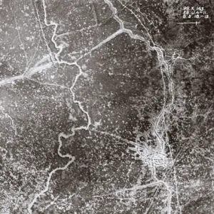
Belgium, Relief Map With Border and Mask
Relief map of Belgium (with border and mask). This image was compiled from data acquired by landsat 5 & 7 satellites combined with elevation data
Universal Images Group (UIG) manages distribution for many leading specialist agencies worldwide
Media ID 9619019
© Planet Observer/UIG
Belgium Benelux Brussels Coastline Relief Map Shore Polders Satellite View
FEATURES IN THESE COLLECTIONS
> Aerial Photography
> Belgium
> Universal Images Group (UIG)
> Universal Images Group
> Satellite and Aerial
> Planet Observer 4
EDITORS COMMENTS
This stunning print showcases the intricate beauty of Belgium's relief map, complete with a border and mask. Compiled from data acquired by landsat 5 & 7 satellites combined with elevation data, this image offers a unique perspective on the physical geography of Belgium. The captivating blend of shorelines, topography, and polders creates an awe-inspiring visual spectacle that is sure to captivate any viewer. The photograph perfectly captures the diverse landscape of Belgium, from its coastal regions to its inland areas. The vibrant colors highlight the varying elevations and contours, providing a comprehensive overview of the country's terrain. With Brussels at its heart, this relief map serves as a testament to Belgium's rich history and cultural significance within Europe. The absence of people in this image allows for an uninterrupted focus on nature's artistry. It invites viewers to immerse themselves in the vastness and grandeur of Belgium's physical features while appreciating the meticulous cartography involved in creating such a detailed representation. Whether you are fascinated by satellite views or have an interest in geography and cartography, this horizontal print will undoubtedly make for an engaging addition to your collection. Its striking composition effortlessly combines scientific precision with artistic expression – making it both visually appealing and intellectually stimulating
MADE IN THE UK
Safe Shipping with 30 Day Money Back Guarantee
FREE PERSONALISATION*
We are proud to offer a range of customisation features including Personalised Captions, Color Filters and Picture Zoom Tools
SECURE PAYMENTS
We happily accept a wide range of payment options so you can pay for the things you need in the way that is most convenient for you
* Options may vary by product and licensing agreement. Zoomed Pictures can be adjusted in the Basket.


