Fraud Blocker Skip to main content

Home > Sheffield City Archives > Images Dated > 2017 > October > 20 Oct 2017

Images Dated 20th October 2017

Choose a picture from our Images Dated 20th October 2017 Collection for your Wall Art and Photo Gifts

198 items

We are proud to offer this selection in partnership with Sheffield City Archives

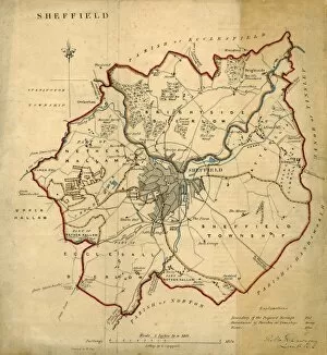
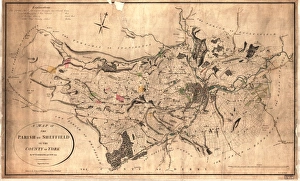
Background imageImages Dated 20th October 2017: Map of the parish of Sheffield by W. Fairbank and Son (engraved by J. Cary), 1795

Map of the parish of Sheffield by W. Fairbank and Son (engraved by J. Cary), 1795
Scale 3.3 inches : 1 mile.Engraved by J. Cary.Original at Sheffield Local Studies Library:s 127 L; other copies at Sheffield City Archives: FC/She/4L and ACM/She/162

Background imageImages Dated 20th October 2017: A plan of the intended canal from Sheffield to Tinsley by W. and J. Fairbank, 1815

A plan of the intended canal from Sheffield to Tinsley by W. and J. Fairbank, 1815
Includes Greenland Engine.Original at Local Studies S33S

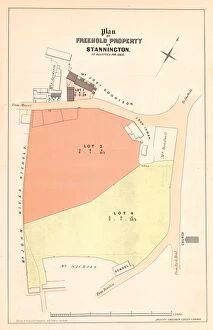
Background imageImages Dated 20th October 2017: Plan of The Crown and Glove Public house and other land and property at Stannington, for sale

Plan of The Crown and Glove Public house and other land and property at Stannington, for sale
Lot 1 the old established Public House known by the sign of the Crown and Glove at Stannington, with barn, cohouse, vacant ground, outbuildings and appurtenances

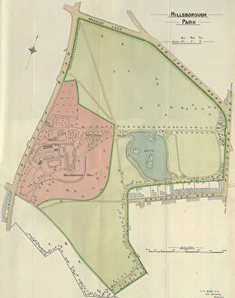
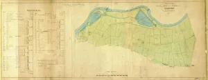
Background imageImages Dated 20th October 2017: Plan of Hillsborough Park, 1897

Plan of Hillsborough Park, 1897
Image from Sheffield City Council, General Purposes and Parks Committee - Plans and Description of Parks and Recreation Grounds (Local Studies Library 352.7 SQ)

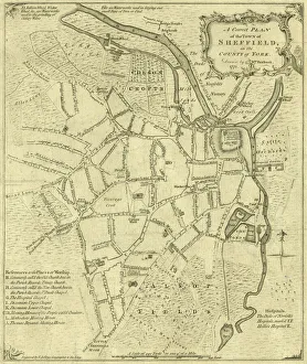
Background imageImages Dated 20th October 2017: A correct plan of the town of Sheffield by William Fairbank, 1771

A correct plan of the town of Sheffield by William Fairbank, 1771
Scale 440 yards : 3.3 inches. Shows the Bull Stake, slaughterhouses, Town Mill, Irish Cross. Original at Local Studies y09647

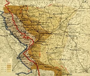
Background imageImages Dated 20th October 2017: South Yorkshire Coalfield, c. 1925

South Yorkshire Coalfield, c. 1925
Scale 2 inches : 1 mile.Size 40 x 33 cm.Original at Local Studies E49S

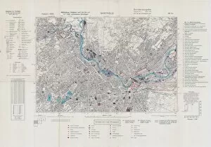
Background imageImages Dated 20th October 2017: North Sheffield marked with bombing targets, c. 1940

North Sheffield marked with bombing targets, c. 1940
Full title: Ordnance Survey map of north Sheffield copied by the Germans, and marked with bombing targets, c. 1940 Original at Sheffield Libraries: y06718

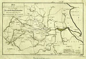
Background imageImages Dated 20th October 2017: Plan of Navigable Rivers and Canals connected with the Aire and Calder Navigation; with a Proposed

Plan of Navigable Rivers and Canals connected with the Aire and Calder Navigation; with a Proposed Canal
Scale 1.3 inches : 10 miles.Size 43 x 28 cm.Original at Local Studies A1S

Background imageImages Dated 20th October 2017: The east prospect of Sheffield in the County of York, 1745

The east prospect of Sheffield in the County of York, 1745
By Nathaniel Buck. Original at Sheffield Local Studies Library: y10740

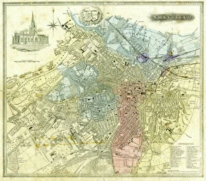
Background imageImages Dated 20th October 2017: Sheffield, 1822

Sheffield, 1822
Full title: Plan of Sheffield; engraved for the history and directory of Yorkshire, published by Edward Baines, Leeds, 1822 Includes a view of the General Infirmary (bottom left). By Alfred Smith

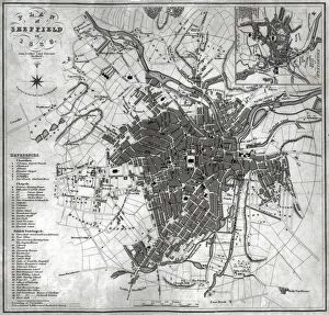
Background imageImages Dated 20th October 2017: Plan of Sheffield, 1838

Plan of Sheffield, 1838
Original at Sheffield Local Studies Library

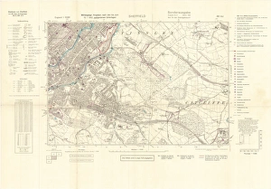
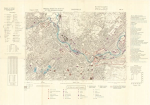
Background imageImages Dated 20th October 2017: Ordnance Survey map of north Sheffield copied by the Germans, and marked with bombing targets

Ordnance Survey map of north Sheffield copied by the Germans, and marked with bombing targets
Original at Sheffield Local Studiess 26 M/4

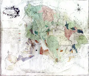
Background imageImages Dated 20th October 2017: Norton from the survey of W and J Fairbank, 1804

Norton from the survey of W and J Fairbank, 1804
Original at Sheffield Archives ref. NSC/127

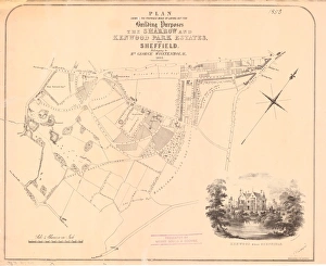
Background imageImages Dated 20th October 2017: Proposed mode of laying out for building purposes the Sharrow

Proposed mode of laying out for building purposes the Sharrow and Kenwood Park Estates near Sheffield belonging to
By Parkin and Bacon.Includes the proposed Kenwood Road and the proposed Montgomery Road. Also shown is the toll bar on the road from Bakewell [Ecclesall Road].Scale 4 chains

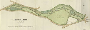
Background imageImages Dated 20th October 2017: Plan of Endcliffe Park, 1897

Plan of Endcliffe Park, 1897
Image from Sheffield City Council, General Purposes and Parks Committee - Plans and Description of Parks and Recreation Grounds (Local Studies Library 352.7 SQ)

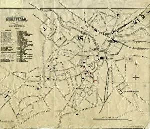
Background imageImages Dated 20th October 2017: Plan of Sheffield, 19th cent

Plan of Sheffield, 19th cent
From an original at Sheffield Libraries: y09469

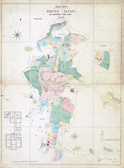
Background imageImages Dated 20th October 2017: Norton Estate as allotted for sale, 1849

Norton Estate as allotted for sale, 1849
Includes a floor plan of Norton Hall (see also y11091)Sheffield Local Studies Library:s (25) 6A L

Background imageImages Dated 20th October 2017: Sale plan for the Endcliffe Grange Estate, Endcliffe Vale Road, 1867

Sale plan for the Endcliffe Grange Estate, Endcliffe Vale Road, 1867
Original at Sheffield Local Studies Library: Sale Plans 18 Jun 1867

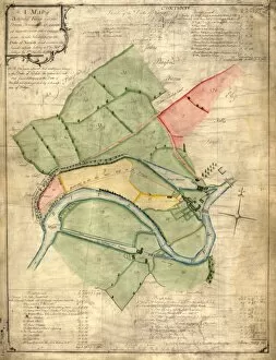
Background imageImages Dated 20th October 2017: A map of Attercliffe Forge and the Farm, Tenements etc annxed thereto

A map of Attercliffe Forge and the Farm, Tenements etc annxed thereto... belonging to the Duke of Norfolk
Includes references to River Don, weirs, Slitting Mill Dam [?Slitting Mill Lane], Brightside, John Parsons Farm, Bent Lane, Forge Dam, etc.Original at Sheffield Archives: ACM/MAPS/SheD/741

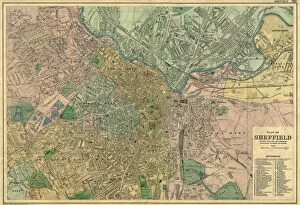
Background imageImages Dated 20th October 2017: Bacons Atlas of Great Britain - Sheffield, 1910

Bacons Atlas of Great Britain - Sheffield, 1910
Original at Local Studies S34S

Background imageImages Dated 20th October 2017: Map of Sheffield

Map of Sheffield
Undated but shows the old barracks so between 1792 and 1854.Scale 2 inches : 1 mile.Local Studies ref. S38S

Background imageImages Dated 20th October 2017: Street map of Nether Hallam

Street map of Nether Hallam
Undated but before 1897 as it shows Hillsborough Hall and grounds which were acquired by the City Council in that year and the grounds opened as Hillsborough Park

Background imageImages Dated 20th October 2017: Plan of lands at Neepsend by The Sheffield Gas Company, 1929

Plan of lands at Neepsend by The Sheffield Gas Company, 1929
Original at Local Studies S22S

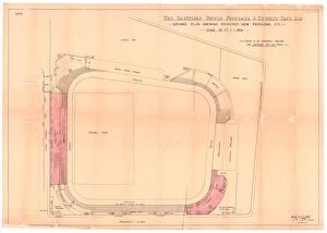
Background imageImages Dated 20th October 2017: Sheffield United Football Club, Bramall Lane, Sheffield - proposed new terracing, 1901

Sheffield United Football Club, Bramall Lane, Sheffield - proposed new terracing, 1901
Scale 20 feet : 1 inch.Architect: Archibald Leitch (1866 - 1939) 40 St Enoch Square, Glasgow, [Scotland].Original at Sheffield City Archives: CA206/5725

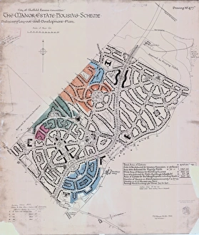
Background imageImages Dated 20th October 2017: Preliminary layout and development plan of the Manor Estate Housing Scheme, 1924

Preliminary layout and development plan of the Manor Estate Housing Scheme, 1924
Sheffield City Council, Estates Committee.Original dimensions: 93 x 79 cm.Sheffield Local Studies Library:s (13) 4 L

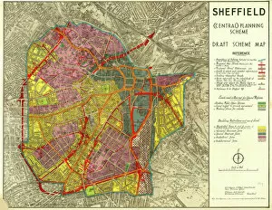
Background imageImages Dated 20th October 2017: Sheffield (Central) Planning Scheme; Draft Scheme Map, 1939

Sheffield (Central) Planning Scheme; Draft Scheme Map, 1939
Published by Sheffield City Council.Scale 200 feet : 1 inch.Original at Sheffield Local Studies Library:s (39) L

Background imageImages Dated 20th October 2017: Plan of Lydgate Hall Estate as allotted for sale, 1860

Plan of Lydgate Hall Estate as allotted for sale, 1860
Full details recorded in the sale particulars.Summary details are:Lot 4 Lydgate Hall, comprising dining, drawing and breakfast rooms and library, two kitchens, a pantry and china closet, cellaring

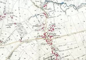
Background imageImages Dated 20th October 2017: Ordnance Survey map: Totley, 1876

Ordnance Survey map: Totley, 1876
Scale: 25 inches to 1 mile.Original at Sheffield Local Studies Library: Derbyshire sheet XI.15.Includes: Old Hay Brook, Grove House, Crown Inn, Hillfoot, Totley Bents, Cricket Inn, recreation ground

Background imageImages Dated 20th October 2017: Ordnance Survey map of north east Sheffield copied by the Germans

Ordnance Survey map of north east Sheffield copied by the Germans, and marked with bombing targets, c. 1940
Original at Sheffield City Archives MD7731/4 and Sheffield Local Studies Librarys 26 M/5

Background imageImages Dated 20th October 2017: Plan of Sheffield by Pawson and Brailsford

Plan of Sheffield by Pawson and Brailsford
Scale 0.5 miles : 1 inch.Size 32 x 27 cm.Original at Local Studies S7S

Background imageImages Dated 20th October 2017: Plan of the Dalton Parva Estate in the parish of Rotherham and county of York

Plan of the Dalton Parva Estate in the parish of Rotherham and county of York, the property of F W T V Wentworth, 1851
By Edward Surtees.Scale: 8 chains : 1 inch.Size 41 x 31 cm.Original at Local Studies E(289)1S

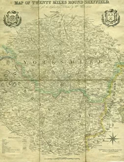
Background imageImages Dated 20th October 2017: Map of twenty miles around Sheffield, engraved for the directory of 1852

Map of twenty miles around Sheffield, engraved for the directory of 1852
Scale 3 miles : 1 inch.Size 41 x 34 cm.Original at Local Studies A11S

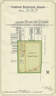
Background imageImages Dated 20th October 2017: Plan of Carbrook Recreation Ground, 1897

Plan of Carbrook Recreation Ground, 1897
Image from Sheffield City Council, General Purposes and Parks Committee - Plans and Description of Parks and Recreation Grounds (Local Studies Library 352.7 SQ)

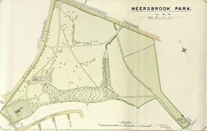
Background imageImages Dated 20th October 2017: Plan of Meersbrook Park, 1897

Plan of Meersbrook Park, 1897
Image from Sheffield City Council, General Purposes and Parks Committee - Plans and Description of Parks and Recreation Grounds (Local Studies Library 352.7 SQ)

Background imageImages Dated 20th October 2017: Plan of part of the Town of Sheffield shewing the existing markets

Plan of part of the Town of Sheffield shewing the existing markets, the property of His Grace the Duke of Norfolk
Scale: 400 yards to 6.3 inches.Surveyors: J G Weightman and M E Hadfield.Original at Sheffield Local Studies Library:s 16 L

Background imageImages Dated 20th October 2017: A map of the lands and works in the north park of Sheffield Park, 1788

A map of the lands and works in the north park of Sheffield Park, 1788
Original at Sheffield ACM/MAPS/SheD/737

Background imageImages Dated 20th October 2017: Plan of the Moorhall Estate to be sold by auction, 1861

Plan of the Moorhall Estate to be sold by auction, 1861
Moor Hall mansion and estate with moorland and grouse shooting. The ancient and substantial freehold messuage or mansion called Moor Hall [More Hall] situate in a Bradfield a with the gardens

Background imageImages Dated 20th October 2017: Plan of various properties formerly belonging to William Staniforth, esquire, deceased, 1856

Plan of various properties formerly belonging to William Staniforth, esquire, deceased, 1856
Local Studies Library: Sale Plans 25 Jun 1856

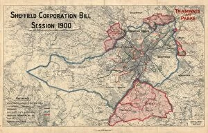
Background imageImages Dated 20th October 2017: Sheffield Corporation Bill - tramways and parks

Sheffield Corporation Bill - tramways and parks
Original at Sheffield Local Studies Library:s 94 L

Background imageImages Dated 20th October 2017: View of Sheffield, c. 1720-1740

View of Sheffield, c. 1720-1740
Full title: To the Worshipful the Master, Wardens, Searchers and Assistants of the Corporation of the Cutlers in Hallamshire in the County of York

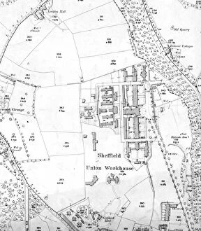
Background imageImages Dated 20th October 2017: Sheffield Workhouse, Fir Vale, later Northern General Hospital on Ordnance Survey map, 1905

Sheffield Workhouse, Fir Vale, later Northern General Hospital on Ordnance Survey map, 1905
Scale 25 inches : 1 mile.Sheet 288.16.Also shows Longley Hall, Goddard Hall and Bolsover Cottages

Background imageImages Dated 20th October 2017: Sheffield Royal Infirmary Block Plan

Sheffield Royal Infirmary Block Plan
Original at Local Studies Library: S(21)6VS

Background imageImages Dated 20th October 2017: A Plan of Sheffield in 1823 (with Ralph Goslings map of Sheffield in 1736 in top right hand corner)

A Plan of Sheffield in 1823 (with Ralph Goslings map of Sheffield in 1736 in top right hand corner), 1823
By John Leather.Scale 700 yards : 2.2 inches.Original at Local Studies Library: S2S

Background imageImages Dated 20th October 2017: Map of the West Riding of Yorkshire, divided into Wapentakes and Boroughs

Map of the West Riding of Yorkshire, divided into Wapentakes and Boroughs, and shewing all its Railways, Roads, Rivers
By J H Franks for William Whites Directory of the West Riding.Scale 15 miles : 2.7 inches.Original at Local Studies Library: E3M

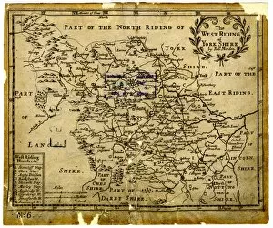
Background imageImages Dated 20th October 2017: The West Riding of Yorkshire, 1701

The West Riding of Yorkshire, 1701
By Robert Morden.Scale 10 small miles : 1 1/8 inches.Original at Local Studies Library: E3VS

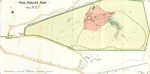
Background imageImages Dated 20th October 2017: Plan of High Hazels Park, 1897

Plan of High Hazels Park, 1897
Image from Sheffield City Council, General Purposes and Parks Committee - Plans and Description of Parks and Recreation Grounds (Local Studies Library 352.7 SQ)

Background imageImages Dated 20th October 2017: Plan of Attercliffe Recreation Ground (Worthing Road / Ripon Street / Woodbourn_Road), 1897

Plan of Attercliffe Recreation Ground (Worthing Road / Ripon Street / Woodbourn_Road), 1897
Image from Sheffield City Council, General Purposes and Parks Committee - Plans and Description of Parks and Recreation Grounds (Local Studies Library 352.7 SQ)

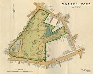
Background imageImages Dated 20th October 2017: Plan of Weston Park, Sheffield, 1897

Plan of Weston Park, Sheffield, 1897
Original at Sheffield Libraries: y09352


All Professionally Made to Order for Quick Shipping


-

Why Choose Us?

We are a leading provider of Art Prints and Photo Gifts since 2004, working in partnership with a range of Sporting Clubs, Charities, Museums and Picture Libraries. A large share of profits from any of their images will go directly towards supporting that charity or club. Our archive of images is carefully curated to bring you a wide range of subjects, including landscapes, wildlife, architecture, and more. We ship from our partner labs in the UK, USA, EU (Netherlands) and Australia.
+

How do I place an order?

Ordering is quick & easy - Just follow 5 Simple Steps:
  1. Find your image: Use our search box or browse our online photo Collections to find the image you want.

  2. Choose your print format: Select your desired product and add it to your cart.

  3. Enter your details: If you're a returning customer, simply enter your email address and password, and we'll fill in your billing and shipping address details. All personal details are held securely and are fully GDPR compliant. As standard, we remove all Personally Identifiable Information after 12 months.

  4. Pay for your purchase: We use state-of-the-art security for online shopping and do not have access to your card details.

  5. Sit back and relax: We'll email you confirmation of your order and when it's dispatched. Registered customers can also track orders in the 'My Account' area.

+

How do I pay for an order?

You can pay for your order with most of the major credit and debit cards, or PayPal. For added security, major financial institutions process payment details separately and securely on our behalf. We do not have access to your online payment card details. Online payments are preferred however we do take phone orders. For UK customers only we accept cheques issued against a UK bank.
+

Is my data safe?

We take data security very seriously. We do not have access to your full card details and all payments are requested over a fully secure connection. Additionally, we fully comply with current European and GDPR legislation, and automatically remove all personal data after at most 12 months (unless you have an account with us and have signed in recently). We also have a strict opt-in policy and would never sell your personal details. Your data is only used to fulfill your order promptly and efficiently.
+

Is wall art ready to hang?

For quick and easy installation all wall art, including framed prints, canvas prints and metal prints are supplied with a ready to hang solution on the back. Generally, saw tooth hangers are applied as they allow wall art to hang flush against the wall. The serrated edge of the hanger prevents the frame from shifting or tilting when hung.
+

Are the photo prints fade resistant?

Yes, we use archival quality photo paper photographic paper for vivid reproduction Prints are an accurate representations of the original artwork, which is preserved for artistic character and authenticity. We guarantee they match previews shown on our web site