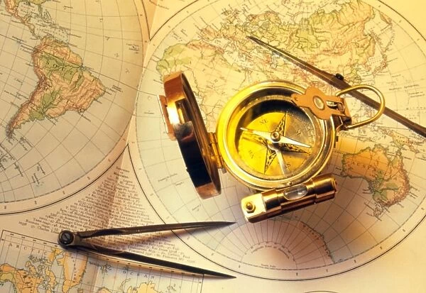
Magnetic compass on a map
![]()

Wall Art and Photo Gifts from Science Photo Library
Magnetic compass on a map
Nautical instruments. Magnetic compass together with two pairs of compasses (lower left & upper right) on top of a 19th century map of the world. A compass consists of a thin, free swinging magnetised needle that points to a dial. The dial is graduated in degrees and shows the cardinal points: north, south, east and west. The needle aligns itself with the local lines of magnetic force to indicate the direction of the north and south magnetic poles. The pairs of compasses are used to measure distances on maps
Science Photo Library features Science and Medical images including photos and illustrations
Media ID 6410596
© TONY CRADDOCK/SCIENCE PHOTO LIBRARY
Compass Device Instrument Magnetic Navigation Orientation Scientific Compasses
EDITORS COMMENTS
This print showcases a fascinating combination of nautical instruments and cartographic artistry. Placed delicately on top of a beautifully detailed 19th-century map of the world, we are presented with a magnetic compass accompanied by two pairs of compasses. The main focus lies on the magnetic compass, an essential tool for navigation during that era. Its slender needle, magnetized to freely swing, points towards a dial graduated in degrees. This dial not only aids in measuring angles but also displays the cardinal points: north, south, east, and west. By aligning itself with local lines of magnetic force, this ingenious device indicates the direction towards the north and south magnetic poles. Accompanying this remarkable instrument are two pairs of compasses used specifically for measuring distances on maps. These precision tools were vital for explorers and navigators as they charted unknown territories across vast oceans. The juxtaposition between these scientific devices and the antique map evokes a sense of wonderment about our understanding of geography and exploration throughout history. It serves as a reminder that even in our modern age where technology reigns supreme, there is still great value in appreciating the ingenuity behind these early navigational equipment. This mesmerizing photograph from Science Photo Library captures both the beauty and functionality inherent within these historical artifacts while inviting us to reflect upon their significant role in shaping our understanding of the world around us.
MADE IN THE UK
Safe Shipping with 30 Day Money Back Guarantee
FREE PERSONALISATION*
We are proud to offer a range of customisation features including Personalised Captions, Color Filters and Picture Zoom Tools
SECURE PAYMENTS
We happily accept a wide range of payment options so you can pay for the things you need in the way that is most convenient for you
* Options may vary by product and licensing agreement. Zoomed Pictures can be adjusted in the Basket.

