
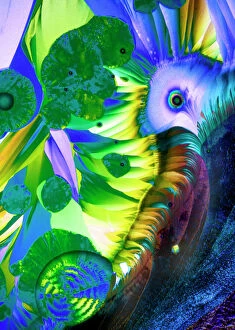
Geological Collection
Geological popular themes refer to the various topics and subjects that are commonly discussed in the field of geology
Choose a picture from our Geological Collection for your Wall Art and Photo Gifts
24,340 items


All Professionally Made to Order for Quick Shipping
-
Geological Collection
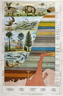
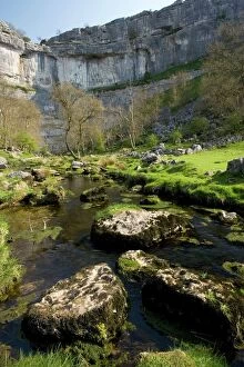
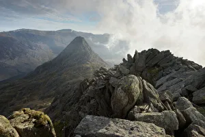
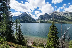
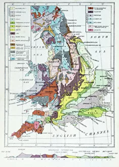
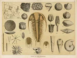
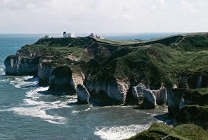
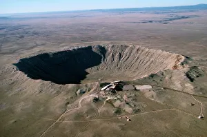
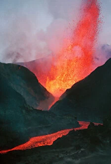
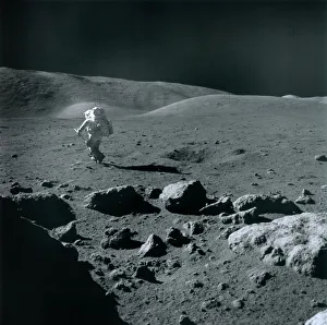
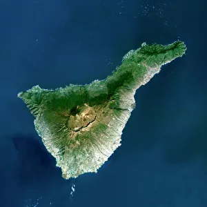
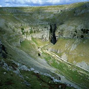
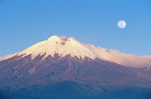
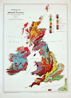
Geological popular themes refer to the various topics and subjects that are commonly discussed in the field of geology. These themes may include plate tectonics, mineralogy, sedimentology, volcanology, and paleontology. Geologists study these topics to better understand the Earth's history and processes. Plate tectonics explain how continents move over time while mineralogy examines the chemical composition of rocks and minerals. Sedimentology focuses on how sedimentary rocks form while volcanology studies volcanic activity. Paleontology looks at fossils to understand past life forms on Earth. Overall, geological popular themes provide a fascinating insight into our planet's natural history and evolution over millions of years.
+
Our beautiful pictures are available as Framed Prints, Photos, Wall Art and Photo Gifts
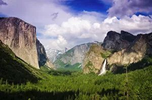
The Geological collection from Media Storehouse offers a wide range of wall art and framed prints that showcase the beauty and diversity of our planet's geological features. From stunning landscapes to intricate rock formations, our collection captures the essence of Earth's natural wonders. Whether you are looking for a striking image of a mountain range or an up-close view of crystals, there is something for everyone in this popular theme collection. The images are sourced from professional photographers around the world, ensuring high-quality prints that will enhance any room. With options for both black-and-white and color prints, as well as various sizes and framing choices, you can easily find the perfect piece to suit your style and decor. Whether you're decorating your home or office space, these geological prints are sure to impress with their unique beauty and timeless appeal.
+
What are Geological (Popular Themes) art prints?
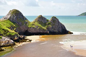
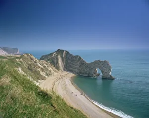
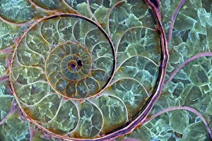
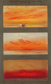
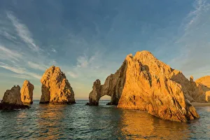
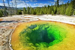
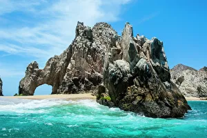
Geological art prints are a popular theme in the world of art and photography, capturing the beauty and complexity of geological formations. These prints showcase stunning landscapes, rock formations, minerals, fossils, and other natural wonders that have been shaped by millions of years of geological processes. These prints are created using high-quality printing techniques to reproduce the intricate details and colors found in nature. They make great additions to any home or office decor and can be used as educational tools for geology enthusiasts or students. Some popular themes within geological art include mountainscapes, desert landscapes, volcanic eruptions, cave systems, oceanic features such as coral reefs or underwater volcanoes. Many artists also focus on specific regions known for their unique geological features such as Yellowstone National Park or Iceland's geothermal hot springs. Overall Geological art prints offer a fascinating glimpse into our planet's history while showcasing its natural beauty through stunning imagery.
+
What Geological (Popular Themes) art prints can I buy from Media Storehouse?
We offer a wide range of geological art prints that are perfect for those who love the natural world. Some popular themes include stunning landscapes, geological formations, and minerals. You can find breathtaking images of mountains, valleys, and canyons from all over the world. These prints capture the beauty and majesty of nature in its rawest form. If you're interested in geological formations, we have plenty to offer as well. From towering rock formations to underground caves and caverns, these prints showcase some of the most incredible sights on Earth. And if you're fascinated by minerals, there are many beautiful images available that highlight their unique colors and textures. Whether you're looking for something to decorate your home or office or simply want to add to your collection of natural history art prints, we have something for everyone with an interest in geology.
+
How do I buy Geological (Popular Themes) art prints?
To buy Geological art prints from Media Storehouse, you can browse our extensive collection of artwork online. Once you have found a print that you like, simply add it to your cart and proceed to checkout. You will be prompted to enter your shipping and payment information before finalizing your purchase. If you are unsure which print to choose, we offer a variety of search filters that allow you to narrow down your options by theme, color scheme, or even specific keywords. Additionally, many prints come with detailed descriptions and artist biographies so that you can learn more about the piece before making a decision. Buying Geological art prints from Media Storehouse is an easy and convenient process that allows you to bring beautiful artwork into your home or office space.
+
How much do Geological (Popular Themes) art prints cost?
Geological art prints are a popular theme among art enthusiasts and nature lovers alike. The cost of these prints may vary depending on the size, quality, and type of paper used for printing. Generally, larger prints tend to be more expensive than smaller ones due to the amount of ink and paper required for production. The price range for geological art prints can also depend on the artist or photographer behind the image. Prints from well-known artists or photographers may command higher prices due to their reputation and demand. It is important to note that while some companies may offer discounts or promotions on their products, pricing should not be the only factor considered when purchasing an art print. Quality and authenticity are equally important factors to consider in order to ensure that you receive a product that meets your expectations and provides long-lasting enjoyment.
+
How will my Geological (Popular Themes) art prints be delivered to me?
Your Geological art prints will be delivered to you in a safe and secure manner by Media Storehouse. The company takes great care in packaging your artwork so that it arrives at your doorstep undamaged. Your prints will be rolled up and placed inside a sturdy tube for protection during transit. Media Storehouse uses reputable courier services to deliver your order, ensuring that it reaches you on time and in excellent condition. You can track the progress of your delivery online using the tracking number provided by the company. When you receive your Geological art prints, simply unroll them carefully and allow them to flatten out naturally before framing or displaying them as desired. With our reliable delivery service, you can enjoy beautiful artwork from the comfort of your own home without any hassle or stress.