Fraud Blocker Skip to main content

Home > Oceania > Australia > Maps

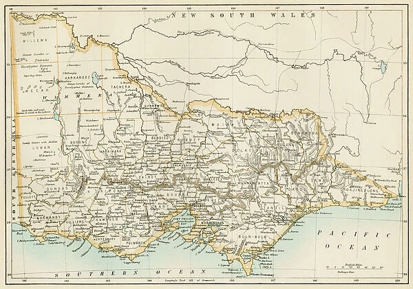
Victoria province, Australia, 1800s

Victoria province, Australia, 1800s
Sold 6
In Stock
We accept all major payment options so you can pay for the things you need in the way that is most convenient for you

Choose Your Product


North Wind Photo Prints and Wall Art

Victoria province, Australia, 1800s

Map of Victoria, Australia, 1870s.
Color lithograph reproduction of a 19th-century illustration. North Wind Picture Archives brings history to life with stock images and hand-colored illustrations. © North Wind Picture Archives

Media ID 5882627

Australia Australian British Empire

FEATURES IN THESE COLLECTIONS

> Maps and Charts > Australia

> Maps and Charts > British Empire Maps

> Maps and Charts > Related Images

> North Wind Picture Archives > Maps

> Oceania > Australia > Maps

> Oceania > Australia > Related Images

SECURE PAYMENTS
We accept all major payment options so you can pay for the things you need in the way that is most convenient for you

Made in UK
Safe Shipping, Easy Returns

FREE PERSONALISATION
We are proud to offer a range of customisation including Cropping, Captions, and Filters. Zoom Cropping can be adjusted in the basket


EDITORS COMMENTS

This print takes us back to the 1800s, offering a glimpse into the rich history of Victoria province in Australia. The map, dating back to the 1870s, showcases the intricate details and artistry of a color lithograph reproduction from that era. It is truly a testament to the craftsmanship and dedication of those who created it. The vintage charm exuded by this illustration transports us to a time when Australia was still under British rule, as part of their vast empire. The map serves as an invaluable historical artifact, shedding light on the traditional heritage and cultural significance of Victoria province. As we explore this piece further, we are reminded of how far Victoria has come since those early days. This print invites us to reflect on its evolution over time – from humble beginnings as an integral part of British colonial expansion in Australia's mainland to becoming one of today's most vibrant and thriving provinces. Whether you are an art enthusiast or a history buff, this print offers a unique opportunity for appreciation. Its presence allows us to connect with our past while appreciating the beauty embedded within this stunning representation.


Framed Prints of Victoria province, Australia, 1800s

Introducing the Media Storehouse Framed Prints collection, featuring this stunning image of Victoria province, Australia, taken from the North Wind Picture Archives. This captivating 19th-century color lithograph reproduction transports you back in time, showcasing the beauty and history of Victoria during the 1800s. Each print is meticulously framed to perfection, adding an elegant touch to any room in your home or office. Travel back in time with this exquisite piece and let the rich history of Victoria province come to life. Order yours today and bring a piece of the past into your present.


Photo Prints of Victoria province, Australia, 1800s

Discover the beauty of Victoria, Australia's past with our exquisite photographic print from Media Storehouse, brought to you by North Wind Picture Archives. This captivating image transports you back in time to the 1800s, showcasing a colorful lithograph reproduction of a 19th-century illustration of Victoria's map. Delve into the rich history of this Australian province and adorn your walls with a piece of history that tells a story. Experience the allure of the past with our high-quality, museum-grade photographic prints, perfect for adding character to any room in your home or office.


Poster Prints of Victoria province, Australia, 1800s

Discover the rich history of Victoria, Australia, with our exquisite poster prints from Media Storehouse, brought to you in collaboration with North Wind Picture Archives. This captivating illustration, depicting Victoria province in the late 1800s, is a stunning color lithograph reproduction of a 19th-century map. Transport yourself back in time as you explore the intricate details of this beautifully preserved piece, perfect for adding historical character to any room in your home or office. Embrace the charm of the past with our Victoria province poster print.


Jigsaw Puzzles of Victoria province, Australia, 1800s

Discover the rich history of Victoria, Australia with our exquisite jigsaw puzzles from Media Storehouse. Featuring a captivating image from North Wind Picture Archives, this puzzle showcases a color lithograph reproduction of a 19th-century illustration of Victoria province. Immerse yourself in the intricate details of this intriguing map from the 1870s and transport yourself back in time. Perfect for puzzle enthusiasts, history buffs, and anyone seeking a challenging and engaging activity, our high-quality jigsaw puzzles provide hours of enjoyment and a satisfying sense of accomplishment upon completion. Bring the beauty of Victoria's past into your home and experience the joy of piecing together a piece of history.

diamond
Made With High Grade Materials
thumb_up
Professional Quality Finish
package_2
Carefully Packed To Aid Safe Arrival

You May Also Like


Antique Map of Victoria, AustraliaAntique Map of Victoria, Australia
Add to Basket
City map of Melbourne, Australia, wood engraving, published in 1897City map of Melbourne, Australia, wood engraving, published in 1897
Add to Basket
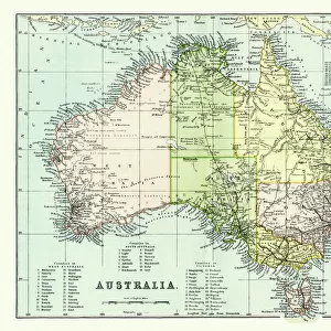
Old map of Australia 1899Old map of Australia 1899
Add to Basket
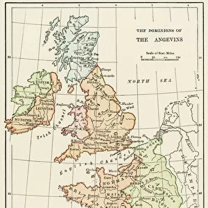
Angevin kings holdings in France and BritainAngevin kings holdings in France and Britain
Add to Basket
Victoria Australia map 1885Victoria Australia map 1885
Add to Basket
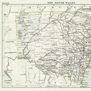
New South Wales map 1884New South Wales map 1884
Add to Basket
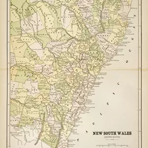
Map of New South Wales 1883Map of New South Wales 1883
Add to Basket
Antique Map of Australia Late 19th CenturyAntique Map of Australia Late 19th Century
Add to Basket
New South Wales map, 1800sNew South Wales map, 1800s
Add to Basket
The Hay Wain, 1821 (oil on canvas)The Hay Wain, 1821 (oil on canvas)
Add to Basket
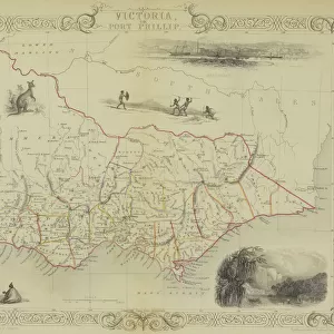
Antique map of Victoria or Port Phillip in Australia with vignettesAntique map of Victoria or Port Phillip in Australia with vignettes
Add to Basket
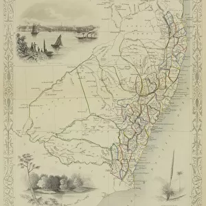
Antique map of New South Wales in AustraliaAntique map of New South Wales in Australia
Add to Basket

Gallery Wall Inspiration

Thirteen original colonies in 1776
Map of England in 1066
Vancouver Island map, 1870s
Map of ancient Rome
The Hereford Mappa Mundi of 1280 - Jerusalem is at the center
Iceland map, 1800s
Medieval Europe at the start of the Crusades
Scotland map, 1870s
Map of England, 1800s
Map of Britain in 597 AD
Ancient Greece and its colonies around the Aegean
Erie Canal route
Newfoundland, 1870s
Medieval Spain and Portugal map
Ireland map, 1870s
Victoria province, Australia, 1800s
Map of Scotland in the 1520s
Ancient Greek empire
Map of ancient Palestine kingdoms of Judah and Israel
Maps of Italy in ancient times
Map of the Roman Empire
Traditional provinces of Spain
Map of Europe, 1870s
Caribbean islands, 1870s
Map of Europe under the Roman Empire
Map of Cape Colony, South Africa
Plan of Washington DC, 1793

Discover Our Collections


MapsMaps
View Collection
British Empire MapsBritish Empire Maps
View Collection
Australia Related ImagesAustralia Related Images
View Collection
MapsMaps
View Collection
Maps and Charts Related ImagesMaps and Charts Related Images
View Collection
AustraliaAustralia
View Collection


© Copyright Media Storehouse, All Rights Reserved 2003 - 2024
Facebook     Pinterest     100% Payment Secure     Reviews IO