Maps Collection (page 6)
Maps of Canada North America are a great way to explore the vastness and beauty of this region
846 items
All Professionally Made to Order for Quick Shipping
-
Maps Collection
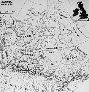
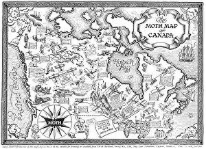
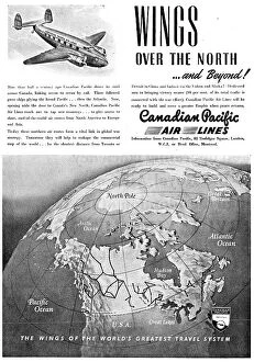
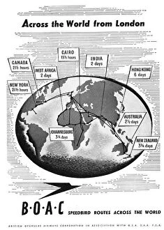
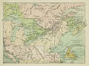
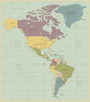
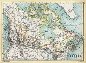
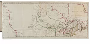
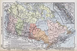
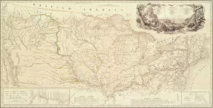
Maps of Canada North America are a great way to explore the vastness and beauty of this region. They provide an overview of the geography, topography, and political boundaries that make up this part of the world. It also show major cities, rivers, lakes, mountains, national parks and other points of interest and can be used for navigation purposes or simply to appreciate the natural beauty that exists in Canada North America. With detailed maps available online or in print form it is easy to find out more about this region and plan trips accordingly and can an invaluable tool for anyone looking to explore all that Canada North America has to offer.
+
Our beautiful pictures are available as Framed Prints, Photos, Wall Art and Photo Gifts
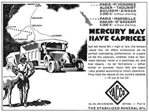
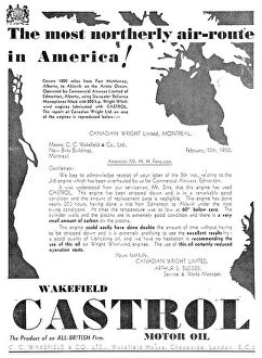
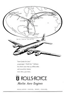
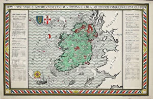
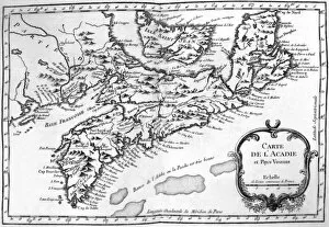
Media Storehouse offers a collection of Maps of Canada North America that showcases the geography, history and culture of this vast region. Our collection features an extensive range of maps dating back to the 16th century, including antique maps from renowned cartographers such as Gerard Mercator and Abraham Ortelius. These historic maps provide a fascinating insight into how early explorers perceived the landmasses and waterways that make up Canada and North America. In addition to these vintage maps, Media Storehouse also offers contemporary versions that highlight modern-day cities, landmarks and natural wonders. These high-quality prints are available in various sizes and formats, including canvas prints, framed prints or posters. Whether you're looking for a unique piece of wall art for your home or seeking inspiration for your next adventure across Canada or North America, our Maps of Canada North America collection is sure to captivate your imagination with its rich history and stunning visuals.
+
What are Maps of Canada North America art prints?
Maps of Canada North America art prints are high-quality reproductions of historical and contemporary maps that depict the geography, topography, and political boundaries of Canada and North America. These art prints showcase the intricate details and artistic styles used by cartographers throughout history to create these important navigational tools. These maps provide a fascinating glimpse into the evolution of geographic knowledge over time, from early explorers' crude sketches to modern satellite imagery. We also offer insight into how borders have shifted over time due to political changes or territorial disputes. Whether you're a history buff, geography enthusiast, or simply looking for a unique piece of wall decor, Maps of Canada North America art prints are an excellent choice. With their rich colors and intricate details, they make great conversation starters in any room. Plus, they can be framed in a variety of styles to match your decor preferences.
+
What Maps of Canada North America art prints can I buy from Media Storehouse?
We offer a wide range of Maps of Canada North America art prints that you can buy. These maps showcase the geographical features, topography, and political boundaries of Canada and North America in stunning detail. You can choose from vintage or contemporary styles, with options ranging from antique maps to modern satellite imagery. Some popular choices include detailed road maps that highlight major highways and cities across the country, as well as topographic maps that show elevation changes and natural landmarks like mountains and rivers. There are also historical maps depicting important events such as explorations or battles. In addition to traditional paper prints, Media Storehouse also offers canvas prints for a more textured look. These high-quality reproductions are perfect for adding a touch of sophistication to any home or office decor. Whether you're looking for a unique gift idea or simply want to decorate your own space with beautiful artwork, we have an extensive selection of Maps of Canada North America art prints to choose from.
+
How do I buy Maps of Canada North America art prints?
To buy Maps of Canada North America art prints from Media Storehouse, you can browse our extensive collection online. The website offers a wide range of maps in different styles and sizes to suit your preferences. You can search for specific locations or themes using the search bar on the homepage or explore the various categories available. Once you have found a map that catches your eye, simply select the size and framing options you prefer before adding it to your cart. The checkout process is straightforward, and you will be prompted to enter your shipping and payment details. We offer high-quality prints that are perfect for home decor or as gifts for friends and family who love geography or travel. Their selection includes vintage maps, topographical maps, political maps, and more. Buying Maps of Canada North America art prints from Media Storehouse is an easy process that allows you to add beautiful pieces of artwork to your home with just a few clicks.
+
How much do Maps of Canada North America art prints cost?
Maps of Canada and North America art prints are available at Media Storehouse. The cost of these prints varies depending on the size, material, and framing options chosen by the customer. However, you can rest assured that they will receive high-quality prints that showcase intricate details of maps in stunning colors. We offer a wide range of map art prints to suit different preferences and budgets. You can choose from various sizes such as small, medium, large or extra-large to fit their space requirements. Additionally, there are different materials available for printing including canvas or paper. Framing options include black frames with white mounts or natural wood frames with cream mounts. These framing options add an elegant touch to the artwork while protecting it from damage. Maps of Canada and North America art prints from Media Storehouse offer excellent value for money considering their quality and customization options available to customers.
+
How will my Maps of Canada North America art prints be delivered to me?
Your Maps of Canada North America art prints will be delivered to you through a reliable and secure delivery service. The company takes pride in ensuring that your order is carefully packaged and shipped to your preferred location. Your art prints will be rolled up and placed inside a sturdy tube, which protects them from any damage during transit. The tube is then sealed with protective caps at both ends to ensure that the contents remain intact. The delivery process is efficient, and you can track your package using the tracking number provided by the company once it has been dispatched. You can expect your Maps of Canada North America art prints to arrive in excellent condition within a reasonable time frame, depending on your location. Media Storehouse values customer satisfaction; hence they strive to deliver quality products while ensuring that their customers receive their orders promptly and securely.

