Home > Europe > United Kingdom > England > London > Art > Theatre
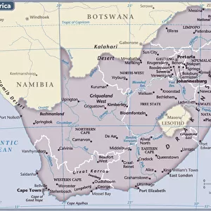
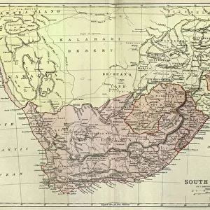
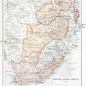
Theatre of war in South Africa - Boer War map

![]()
Wall Art and Photo Gifts from Mary Evans Picture Library
Theatre of war in South Africa - Boer War map
Map of the war in South Africa in 1899. Date: 1899
Mary Evans Picture Library makes available wonderful images created for people to enjoy over the centuries
Media ID 14403293
© Illustrated London News Ltd/Mary Evans
1899 Boer Maps Sep16 Transvaal
FEATURES IN THESE COLLECTIONS
> Africa
> South Africa
> Maps
> Europe
> United Kingdom
> England
> London
> Art
> Theatre
EDITORS COMMENTS
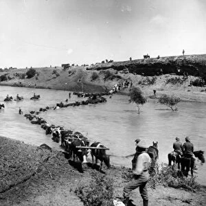
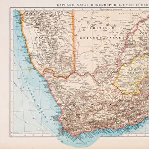
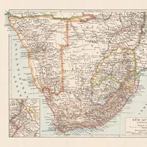
This map print depicts the Theatre of War in South Africa during the tumultuous year of 1899. As the Boer Wars raged on, the Transvaal and Orange Free State in South Africa became the battleground for British imperial expansion. This intricately detailed map, dated 1899, offers a comprehensive view of the conflict's geographical scope, marking the locations of major battles, British and Boer military camps, and key strategic points. The map's title, "Separate Map of the War in South Africa," underscores the complex political landscape of the region at the time. The Second Boer War, also known as the Anglo-Boer War, pitted the Dutch-speaking Boers against the British Empire, with the former seeking independence and the latter aiming to consolidate its dominion over the Transvaal and Orange Free State. The map's rich cartographic detail provides valuable insights into the military strategies and maneuvers employed by both sides during the conflict. The British forces, led by General Sir Redvers Buller, attempted to encircle the Boer forces through a series of invasions from the east and west. Meanwhile, the Boers, under the command of Paul Kruger and Louis Botha, employed guerrilla warfare tactics, launching surprise attacks on British supply lines and communication networks. This map serves as a poignant reminder of the complex and often brutal history of imperial expansion in Africa. The Boer Wars resulted in significant loss of life and resources for all parties involved, and their legacy continues to shape the political and social landscape of South Africa today.
MADE IN THE UK
Safe Shipping with 30 Day Money Back Guarantee
FREE PERSONALISATION*
We are proud to offer a range of customisation features including Personalised Captions, Color Filters and Picture Zoom Tools
SECURE PAYMENTS
We happily accept a wide range of payment options so you can pay for the things you need in the way that is most convenient for you
* Options may vary by product and licensing agreement. Zoomed Pictures can be adjusted in the Basket.