Home > Europe > France > Canton > Maine
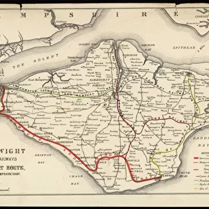
East Coast Map 1823 Date: 1823
![]()

Wall Art and Photo Gifts from Mary Evans Picture Library
East Coast Map 1823 Date: 1823
Mary Evans Picture Library makes available wonderful images created for people to enjoy over the centuries
Media ID 20184212
© The Pictures Now Image Collection / Bubblepunk
1823 Antiquarian Antique Connecticut Hampshire Journey Journeys Maine Maps Massachusetts Rhode Rocks Tanner Travels Treks Trip Trips Vermont Voyage Voyages Circulate
FEATURES IN THESE COLLECTIONS
> Europe
> France
> Canton
> Maine
> Europe
> United Kingdom
> England
> Hampshire
> Related Images
> Maps and Charts
> Related Images
> Mary Evans Prints Online
> Pictures Now
EDITORS COMMENTS
Step back in time with this antique map dating back to 1823, titled 'East Coast Map.' This intricately detailed map offers a glimpse into the past, showcasing the eastern coastline of the United States from Maine to Connecticut. The map was meticulously crafted during an era when long journeys by sea were commonplace for exploration, trade, and travel. The map's rich history comes alive through its depiction of the New England states, including Massachusetts, Rhode Island, Connecticut, and Vermont. The coastline is dotted with islands, rocks, and harbors, providing a visual representation of the natural beauty and topography of the region. The map also highlights the importance of fishing and boat travel during this time. Boats of various sizes and shapes can be seen dotting the waters, indicating the significance of maritime activity. The map's creator, Henry Tanner, meticulously documented the details of the coastline, ensuring that this antique map remains an essential resource for historians, genealogists, and anyone interested in the history of the eastern seaboard. This map offers a unique opportunity to explore the journeys and travels of the past. Whether you're planning a trip to the East Coast or simply curious about its history, this antique map is a must-see. Its intricate details and historical significance make it a treasured addition to any collection or study of American history and cartography.
MADE IN THE UK
Safe Shipping with 30 Day Money Back Guarantee
FREE PERSONALISATION*
We are proud to offer a range of customisation features including Personalised Captions, Color Filters and Picture Zoom Tools
SECURE PAYMENTS
We happily accept a wide range of payment options so you can pay for the things you need in the way that is most convenient for you
* Options may vary by product and licensing agreement. Zoomed Pictures can be adjusted in the Basket.


