Home > Arts > Artists > O > Abraham Ortelius
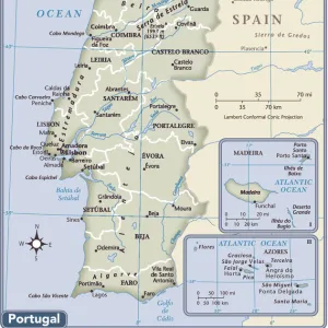
Map of the Iberian Peninsula. Theatrum Orbis Terrarum by Abr

![]()
Wall Art and Photo Gifts from Mary Evans Picture Library
Map of the Iberian Peninsula. Theatrum Orbis Terrarum by Abr
Map of the Iberian Peninsula. Theatrum Orbis Terrarum by Abraham Ortelius (1527-1598). First Edition. Antwerp, 1574
Mary Evans Picture Library makes available wonderful images created for people to enjoy over the centuries
Media ID 14330963
© Thaliastock / Mary Evans
1574 Abraham Antwerp Atlas Balearic Barcelona Cartography Continent Edition Flanders Flemish Geography Gibraltar Iberian Mediterranean Monster Orbis Ortelius Ortels Peninsula Portugal Strait Terrarum Theatrum
FEATURES IN THESE COLLECTIONS
> Arts
> Artists
> O
> Abraham Ortelius
> Maps and Charts
> Abraham Ortelius
> Maps and Charts
> Early Maps
> Maps and Charts
> Spain
EDITORS COMMENTS
This stunning 16th-century map print, titled "Iberia" from "Theatrum Orbis Terrarum" by the renowned Flemish cartographer Abraham Ortelius, offers a captivating glimpse into the geographical knowledge of the European world during the Age of Discovery. Created in Antwerp, Belgium, in 1574, this first edition map is a testament to the advancements in cartography and exploration during this period. The map meticulously depicts the Iberian Peninsula, home to present-day Spain and Portugal, with intricate detail. The Balearic Islands, located in the Mediterranean Sea, are clearly marked, as are the major cities such as Barcelona and Madrid. The strait of Gibraltar, separating Europe from Africa, is prominently featured, with a ship and a mythical sea monster adding a touch of adventure and intrigue. Ortelius' map also highlights the importance of the Mediterranean Sea, with various ports and shipping routes indicated. The Atlantic Ocean, to the north and west, is also shown, with the coastlines of Portugal and Spain extending far into the unknown waters. The map's title, "Theatrum Orbis Terrarum," meaning "Theatre of the World," reflects the growing European fascination with the exploration and mapping of the world. This map is a valuable historical artifact, providing insights into the geographical knowledge and cartographic techniques of the time. Its intricate details and stunning design make it a beautiful addition to any collection of historical maps or European history.
MADE IN THE UK
Safe Shipping with 30 Day Money Back Guarantee
FREE PERSONALISATION*
We are proud to offer a range of customisation features including Personalised Captions, Color Filters and Picture Zoom Tools
SECURE PAYMENTS
We happily accept a wide range of payment options so you can pay for the things you need in the way that is most convenient for you
* Options may vary by product and licensing agreement. Zoomed Pictures can be adjusted in the Basket.