Images Dated 2015
Available as Framed Prints, Photos, Wall Art and Gift Items
Choose from 90,677 pictures in our Images Dated 2015 collection for your Wall Art or Photo Gift. Popular choices include Framed Prints, Canvas Prints, Posters and Jigsaw Puzzles. All professionally made for quick delivery. We are proud to offer this selection in partnership with Mary Evans Prints Online.
Abstract
Aerial
Africa
Animals
Architecture
Arts
Asia
Europe
Historic
Humour
Maps and Charts
North America
Oceania
People
Popular Themes
Posters
Religion
Science
Services
South America
Special Days
Sport
Transportation
All Images
Collections
Mary Evans Prints Online
> Images Dated
>> 2015
>>> January
>>> February
>>> March
>>> April
>>> May
>>> June
>>> July
>>> August
>>> September
>>> October
>>> November
>>> December

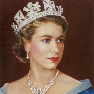
Elizabeth II - Queen of the United Kingdom and Commonwealth
Her Majesty Elizabeth II - Queen of the United Kingdom and other Commonwealth realms (1926-). Date: 1955
© Mary Evans / Grenville Collins Postcard Collection
1950s, 1955, 2nd, 50s, Commonwealth, Crown, Diamond, Diamonds, Earring, Elizabeth, Fifties, Gartr, Historical, History, Hm, Iconic, Ii, Kingdom, Majestic, Majesty, Necklace, Pearls, Portrait, Queen, Regal, Regalia, Royal, Royalty, Sash, Star, United

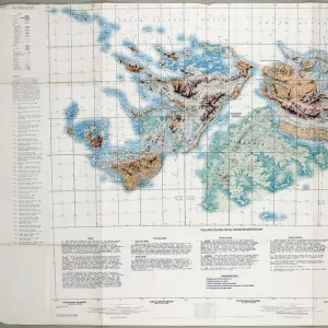
Falkland Islands Royal Engineer briefing map, 1982
Falkland Islands Royal Engineer briefing map, 1982 (c); with typescript annotations relating to the condition and passibility of airfields, roads and tracks by tracked and wheeled vehicles. From papers relating to the South Atlantic (Falklands War) (1982), collected by 24057159 WO2 David Langham, 81 Ordnance Company, Royal Army Ordnance Corps. Date: circa 1982
© The National Army Museum / Mary Evans Picture Library

Daily Mail War Map, WW1
A fold out war map issued by the Daily Mail in the early weeks of the First World War. The map offers statistics regarding the manpower strength of each of the warring nations, as well as the number of battleships and food stores each had. While the Triple Entente of Britain, France and Russia could boast 9, 380, 000 men (of which Britain comprised just 380, 000), the Triple Alliance numbered 9, 500, 000. The map was intended to be marked with Philips flag pins in ten different colours so that civilians could chart the progress of the campaign. Date: 1914
© Mary Evans Picture Library