Home > South America > Chile > Maps
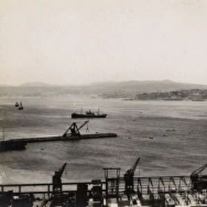
Chile. Valparaiso. Map in 1713 after an engraving of 1717

![]()
Wall Art and Photo Gifts from Mary Evans Picture Library
Chile. Valparaiso. Map in 1713 after an engraving of 1717
Mary Evans Picture Library makes available wonderful images created for people to enjoy over the centuries
Media ID 14328139
© Thaliastock / Mary Evans
1713 1717 Cartography Chile Compass Continent Geography Harbor Urbanism Valparaiso
FEATURES IN THESE COLLECTIONS
> Maps and Charts
> Early Maps
> Maps and Charts
> World
> South America
> Chile
> Maps
> South America
> Chile
> Valparaiso
EDITORS COMMENTS
This map print depicts the bustling port city of Valparaiso, Chile, as it appeared in the early 18th century. The map, titled "Chile. Valparaiso. Map in 1713 after an engraving of 1717," offers a fascinating glimpse into the urban development and geographic knowledge of the New World during the Age of Discovery. The map is a reproduction of an original engraving from over three centuries ago, which was created based on a chart made in 1713. The intricate detail of the map showcases the natural harbor of Valparaiso, with its numerous bays and inlets, as well as the urban layout of the city. The compass rose at the bottom right corner indicates the cardinal directions, while the various landmarks and topographical features are labeled in Latin. Valparaiso, located on the central coast of Chile, was a vital hub for maritime trade during the 18th and 19th centuries. Its natural harbor provided a safe haven for ships traveling between the Atlantic and Pacific Oceans, making it an essential stop for explorers, merchants, and settlers. The map reflects the significance of Valparaiso as a thriving port city during this period, with numerous ships anchored in the bay and various landmarks indicating the presence of human settlement. The historical accuracy of this map is a testament to the advancements in cartography during the 18th century, which allowed for more precise and detailed representations of geographic features. Today, this map serves as an intriguing reminder of the rich history and urbanism of Valparaiso and Chile during the early modern period.
MADE IN THE UK
Safe Shipping with 30 Day Money Back Guarantee
FREE PERSONALISATION*
We are proud to offer a range of customisation features including Personalised Captions, Color Filters and Picture Zoom Tools
SECURE PAYMENTS
We happily accept a wide range of payment options so you can pay for the things you need in the way that is most convenient for you
* Options may vary by product and licensing agreement. Zoomed Pictures can be adjusted in the Basket.