England and Counties PORTFOLIO Gallery
Old Maps of England and Historic English County Maps
Choose from 111 pictures in our England and Counties PORTFOLIO collection for your Wall Art or Photo Gift. All professionally made for Quick Shipping.
Abstract
Aerial
Africa
Animals
Architecture
Arts
Asia
Europe
Historic
Humour
Maps and Charts
Modern Art
North America
Oceania
People
Popular Themes
Posters
Religion
Science
Services
South America
Special Days
Sport
Transportation
All Images
Collections
MapSeeker
> Maps from the British Isles
>> British Isles Map PORTFOLIO
>> England with Wales PORTFOLIO
>> England and Counties PORTFOLIO
>> Wales and Counties PORTFOLIO
>> Scotland and Counties PORTFOLIO
>> Ireland and Provinces PORTFOLIO
>> Islands around Britain PORTFOLIO

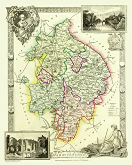
Old County Map of Warwickshire 1836 by Thomas Moule
MapSeeker
Full Range of Prints and Gifts in Stock

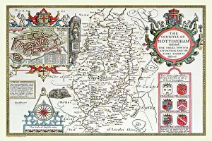
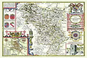
Old County Map of Nottinghamshire 1611 by John Speed
MapSeeker
Full Range of Prints and Gifts in Stock

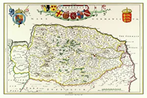
Old County Map of Norfolk 1648 by Johan Blaeu from the Atlas Novus
MapSeeker
Full Range of Prints and Gifts in Stock

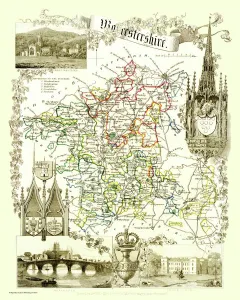
Old County Map of Worcestershire 1836 by Thomas Moule
MapSeeker
Full Range of Prints and Gifts in Stock

Old County Map of Worcestershire 1836 by Thomas Moule
This is a fine decorative reproduction County Map of Worcestershire from the First Edition series of Thomas Moule Maps, originally Published in 1836. The well-known series of County Maps which are known as Moules feature beautiful vignette views and were first published in separate sections for each county in 1830-32, they were then published in collected form in a two-volume work: The English Counties Delineated: or a Topographical Description of England: Illustrated by a Complete Series of County Maps by Thomas Moule: London: Published by George Virtue 1836
© Mapseeker Publishing Ltd

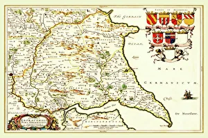
Old County Map of the East Riding of Yorkshire 1648 by Johan Blaeu from the Atlas Novus
MapSeeker
Full Range of Prints and Gifts in Stock

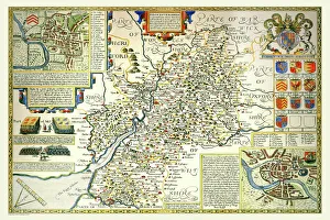
Old County Map of Gloucestershire 1611 by John Speed
MapSeeker
Full Range of Prints and Gifts in Stock

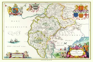
Old County Map of Cumbria 1648 by Johan Blaeu from the Atlas Novus
MapSeeker
Full Range of Prints and Gifts in Stock

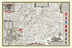
Old County Map of Leicestershire 1611 by John Speed
MapSeeker
Full Range of Prints and Gifts in Stock

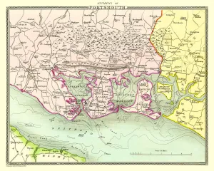
Old Map of the Environs of Portsmouth 1836 by Thomas Moule
MapSeeker
Full Range of Prints and Gifts in Stock

Old County Map of Ross and Cromarty Scotland 1847 by A&C Black
MapSeeker
Full Range of Prints and Gifts in Stock

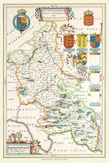
Old County Map of Buckinghamshire 1648 by Johan Blaeu from the Atlas Novus
MapSeeker
Full Range of Prints and Gifts in Stock

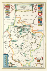
Old County Map of Bedfordshire 1648 by Johan Blaeu from the Atlas Novus
MapSeeker
Full Range of Prints and Gifts in Stock

Old County Map of Bedfordshire 1611 by John Speed
A fine reproduction of John Speed's historical map of Bedfordshire originally published for the "Theatre of the Empire of Great Britain", an atlas to accompany "a history of Great Britain".
In the top right hand corner of this beautiful map is town plan of Bedford, which includes a legend listing all the street names, churches and important buildings. Just beneath this are three coats of arms of the Dukes of Bedford. The towns of Woburn, Luton and Dunstable are clearly marked, also shown are all of the ancient deer parks of this county. In the bottom left corner of the map is a short history describing how in legend the River Ouse stopped flowing
© Mapseeker Publishing Ltd

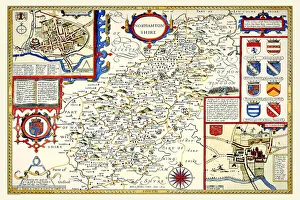
Old County Map of Northamptonshire 1611 by John Speed
MapSeeker
Full Range of Prints and Gifts in Stock

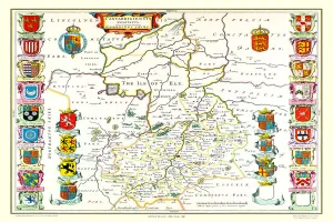
Old County Map of Cambridgeshire 1648 by Johan Blaeu from the Atlas Novus
MapSeeker
Full Range of Prints and Gifts in Stock

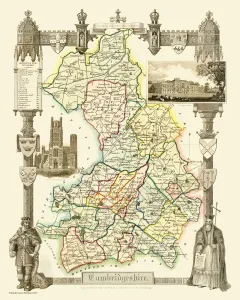
Old County Map of Cambridgeshire 1836 by Thomas Moule
MapSeeker
Full Range of Prints and Gifts in Stock

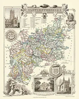
Old County Map of Gloucestershire 1836 by Thomas Moule
MapSeeker
Full Range of Prints and Gifts in Stock

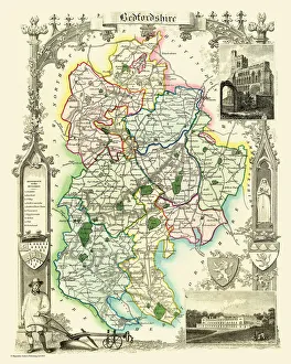
Old County Map of Bedfordshire 1836 by Thomas Moule
MapSeeker
Full Range of Prints and Gifts in Stock

Old County Map of Herefordshire 1836 by Thomas Moule
MapSeeker
Full Range of Prints and Gifts in Stock

Old Map of the Environs of Plymouth and Devonport 1836 by Thomas Moule
MapSeeker
Full Range of Prints and Gifts in Stock

Old County Map of Westmoreland 1836 by Thomas Moule
MapSeeker
Full Range of Prints and Gifts in Stock

Old Map of the Environs of Plymouth and Devonport 1836 by Thomas Moule
This is a fine decorative reproduction Map of The Environs of Plymouth and Devonport from the First Edition series of Thomas Moule Maps, originally Published in 1836. The well-known series of County Maps which are known as Moules feature beautiful vignette views, there were also 4 "Environs" Maps included, and were first published in separate sections for each county in 1830-32, they were then published in collected form in a two-volume work: The English Counties Delineated: or a Topographical Description of England: Illustrated by a Complete Series of County Maps by Thomas Moule: London: Published by George Virtue 1836
© Mapseeker Publishing Ltd

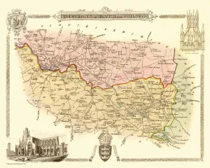
Old Map of the Environs of Bath and Bristol 1836 by Thomas Moule
MapSeeker
Full Range of Prints and Gifts in Stock

Old County Map of Buckinghamshire 1836 by Thomas Moule
MapSeeker
Full Range of Prints and Gifts in Stock

Old County Map of Oxfordshire 1648 by Johan Blaeu from the Atlas Novus
MapSeeker
Full Range of Prints and Gifts in Stock

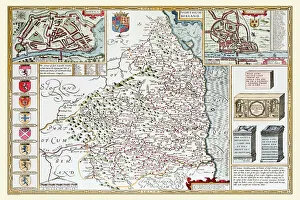
Old County Map of Northumberland 1611 by John Speed
MapSeeker
Full Range of Prints and Gifts in Stock

Old County Map of Somersetshire 1836 by Thomas Moule
MapSeeker
Full Range of Prints and Gifts in Stock

Old County Map of Rutlandshire 1836 by Thomas Moule
MapSeeker
Full Range of Prints and Gifts in Stock