Fraud Blocker Skip to main content

Home > Maps and Charts > Related Images

Related Images Collection (page 5)

14,555 items

Background imageRelated Images Collection: 103745803

103745803
Reference Maps, 103745803

Background imageRelated Images Collection: Colombia Reference Map

Colombia Reference Map

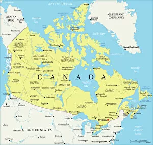
Background imageRelated Images Collection: Canada Reference Map

Canada Reference Map
935511898

Background imageRelated Images Collection: Old Map of Boston England 1836 by Thomas Moule

Old Map of Boston England 1836 by Thomas Moule
This is a fine decorative reproduction Map of The Town of Boston from the First Edition series of Thomas Moule Maps, originally Published in 1836

Background imageRelated Images Collection: Old County Map of Wiltshire 1836 by Thomas Moule

Old County Map of Wiltshire 1836 by Thomas Moule
This is a fine decorative reproduction County Map of Wiltshire from the First Edition series of Thomas Moule Maps, originally Published in 1836

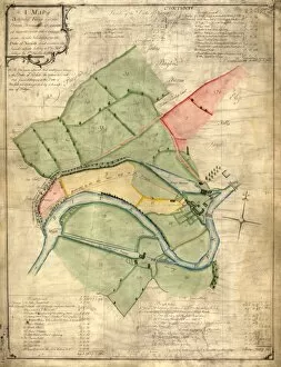
Background imageRelated Images Collection: A map of Barley Croft and The Dukes land, Stannington, 1752

A map of Barley Croft and The Dukes land, Stannington, 1752
Scale 2 chains : 1 inch [40 inches : 1 mile] Surveyor: William Fairbank II. Another proposed exchange between the Duke of Norfolk and Mrs Bamforth; acreages and some field names given on the map

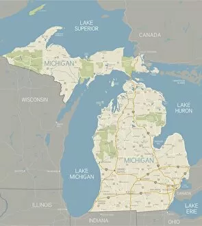
Background imageRelated Images Collection: Michigan Map

Michigan Map
A detailed map of the Michigan. Includes major highways, cities, rivers and lakes. Elements are grouped and separate for easy color changes

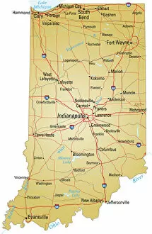
Background imageRelated Images Collection: Map of Indiana

Map of Indiana
Vector illustration of map of Indiana with major roads, rivers and lakes

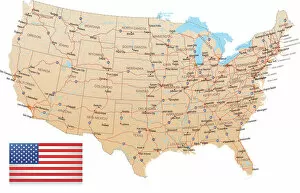
Background imageRelated Images Collection: USA - Highway Map

USA - Highway Map
Highly detailed map of United States with roads, states, big cities, rivers and some other objects

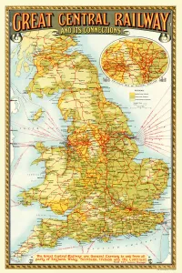
Background imageRelated Images Collection: Old Map of the Great Central Railway and its Connections 1903

Old Map of the Great Central Railway and its Connections 1903
This is a colourful and detailed reproduction map of " The Great Central Railway 1903" showing the lines and stations, with enlarged section showing the Northern Manufacturing Districts

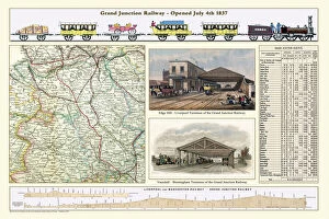
Background imageRelated Images Collection: Old Map of the Grand Junction Railway 1837

Old Map of the Grand Junction Railway 1837
RW0003

Background imageRelated Images Collection: Bradfield and Stannington Moors, 19th cent

Bradfield and Stannington Moors, 19th cent
Showing owners. By O. Spurr (lithographer). Scale 1 mile : 15 inches. Dimensions of original approx. 28 x 38.5 cm. From an original at Sheffield Libraries: arc02906

Background imageRelated Images Collection: Sittingbourne Kent UK City Street Map

Sittingbourne Kent UK City Street Map
Vector Illustration of a City Street Map of Sittingbourne, Kent, UK. Included files are EPS (v10) and Hi-Res JPG. Data courtesy from Ordnance Survey: VectorMap District https

Background imageRelated Images Collection: Map of Iowa

Map of Iowa
Vector illustration of map of Iowa with major roads, rivers and lakes

Background imageRelated Images Collection: Bangladesh country map

Bangladesh country map
2011 edition

Background imageRelated Images Collection: Anchorage, Alaska area map

Anchorage, Alaska area map
2011 edition

Background imageRelated Images Collection: 103312664

103312664
Reference Maps, 103312664

Background imageRelated Images Collection: 103312681

103312681
Reference Maps, 103312681

Background imageRelated Images Collection: 103312677

103312677
Reference Maps, 103312677

Background imageRelated Images Collection: Plan of the Taxal estate, Cheshire, and Shalcross estate, Derbyshire

Plan of the Taxal estate, Cheshire, and Shalcross estate, Derbyshire, which will be sold by auction, 1832
To be sold by Mr Winstanley at the Ram's Head Inn, Disley, in the county of Chester, on Wednesday, January 4th, 1832, at three o'clock, in twenty-eight lots. Swinnerton, Lithographer, Cheshire

Background imageRelated Images Collection: Reproduction of Map of Routes of St. James of Compostel, originally engraved by D

Reproduction of Map of Routes of St. James of Compostel, originally engraved by D
CHT179600 Reproduction of Map of Routes of St. James of Compostel, originally engraved by D.Serveaux 1648 by French School

Background imageRelated Images Collection: Chronological chart of the Visions of Daniel and John, 1843 (colour litho)

Chronological chart of the Visions of Daniel and John, 1843 (colour litho)
AQS257138 Chronological chart of the Visions of Daniel and John, 1843 (colour litho) by American School, (19th century); American Antiquarian Society, Worcester, Massachusetts

Background imageRelated Images Collection: Peaky Blinders Captured on Camera

Peaky Blinders Captured on Camera
This is an eye catching and fascinating glimpse into the villainous lives of the Birmingham men who would be known as the Peaky Class

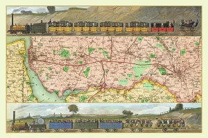
Background imageRelated Images Collection: Old Map Titled 'Travelling on the Liverpool to Manchester Railway 1830'

Old Map Titled "Travelling on the Liverpool to Manchester Railway 1830"
RW0039

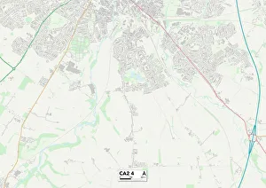
Background imageRelated Images Collection: Carlisle CA2 4 Map

Carlisle CA2 4 Map
Postcode Sector Map of Carlisle CA2 4

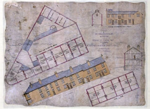
Background imageRelated Images Collection: Plan of houses, shop, slaughterhouse to be built in Johnson Street and Livingstone Street

Plan of houses, shop, slaughterhouse to be built in Johnson Street and Livingstone Street, Wincobank Sheffield, c. 1871
Full title: Plan of eight houses, shop, slaughterhouse and out-buildings to be built in Johnson Street and Livingstone Street, Wincobank for Mr Maycock, Butcher, c. 1871

Background imageRelated Images Collection: Contoured plan of Rivelin Valley Road, Sheffield, Yorkshire, c. 1900

Contoured plan of Rivelin Valley Road, Sheffield, Yorkshire, c. 1900
Full title: Contoured plan of Rivelin Valley Road shewing land belonging to the Sheffield Water Department, c. 1900 From an original at Sheffield Libraries: arc02953 Scale 25 inches : 1 mile

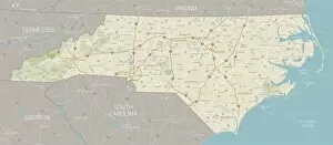
Background imageRelated Images Collection: North Carolina Map

North Carolina Map
A detailed map of North Carolina state with cities, roads, major rivers, and lakes. Includes neighboring states and surrounding water

Background imageRelated Images Collection: Colorado Map

Colorado Map
A detailed map of Colorado state with cities, roads, major rivers, national forests, monuments, and major lakes. Includes neighboring states and surrounding water

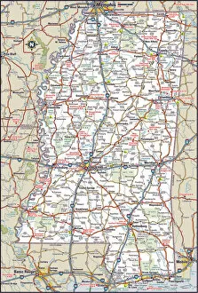
Background imageRelated Images Collection: United States Highway Map

United States Highway Map
A very detailed map of the United States with freeways, major highways, major cities and lakes and rivers. Each state was drawn separately so shoreline and waterways are very detailed

Background imageRelated Images Collection: Anatomy of Organs Engraving

Anatomy of Organs Engraving
Engraved illustrations of Anatomy of the Fasciae, Integuents, and Organs of Mastication and Respiration from Iconographic Encyclopedia of Science, Literature and Art, Published in 1851

Background imageRelated Images Collection: Margate Kent UK City Street Map

Margate Kent UK City Street Map
Vector Illustration of a City Street Map of Margate, Kent, UK. Included files are EPS (v10) and Hi-Res JPG. Data courtesy from Ordnance Survey: VectorMap District https

Background imageRelated Images Collection: Crawley West Sussex UK City Street Map

Crawley West Sussex UK City Street Map
Vector Illustration of a City Street Map of Crawley, West Sussex, UK. Included files are EPS (v10) and Hi-Res JPG. Data courtesy from Ordnance Survey: VectorMap District https

Background imageRelated Images Collection: Map of Nebraska

Map of Nebraska
Vector illustration of map of Nebraska with major roads, rivers and lakes

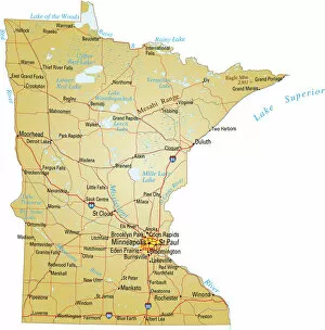
Background imageRelated Images Collection: Map of Minnesota

Map of Minnesota
Vector illustration of map of Minnesota with major roads, rivers and lakes

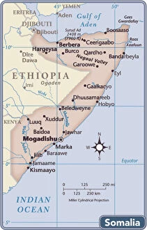
Background imageRelated Images Collection: Somalia country map

Somalia country map
2011 edition

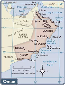
Background imageRelated Images Collection: Oman country map

Oman country map
2011 edition

Background imageRelated Images Collection: 103312666

103312666
Reference Maps, 103312666

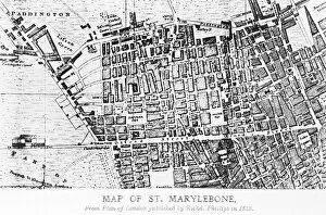
Background imageRelated Images Collection: Map of St Marylebone, London

Map of St Marylebone, London
Map of St Marylebone, from a plan of London published by Richard Phillips. Date: 1813

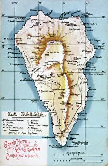
Background imageRelated Images Collection: Map of La Palma, Canary Islands

Map of La Palma, Canary Islands. Date: circa 1908

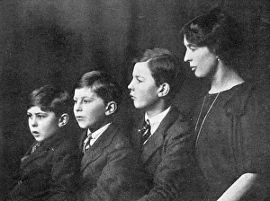
Background imageRelated Images Collection: Lady Cynthia Colville with David, Philip and Jock

Lady Cynthia Colville with David, Philip and Jock
Lady Cynthia Colville, wife of the Hon. George Colville, younger son of the late Lord Colville of Culross pictured with her three sons, David, Phillip and Jock

Background imageRelated Images Collection: Sale plan for the Endcliffe Grange Estate, Endcliffe Vale Road, 1867

Sale plan for the Endcliffe Grange Estate, Endcliffe Vale Road, 1867
Original at Sheffield Local Studies Library: Sale Plans 18 Jun 1867

Background imageRelated Images Collection: A map of Attercliffe Forge and the Farm, Tenements etc annxed thereto

A map of Attercliffe Forge and the Farm, Tenements etc annxed thereto... belonging to the Duke of Norfolk
Includes references to River Don, weirs, Slitting Mill Dam [?Slitting Mill Lane], Brightside, John Parsons Farm, Bent Lane, Forge Dam, etc.Original at Sheffield Archives: ACM/MAPS/SheD/741

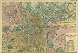
Background imageRelated Images Collection: Bacons Atlas of Great Britain - Sheffield, 1910

Bacons Atlas of Great Britain - Sheffield, 1910
Original at Local Studies S34S

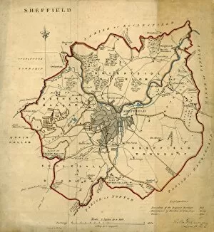
Background imageRelated Images Collection: Map of Sheffield

Map of Sheffield
Undated but shows the old barracks so between 1792 and 1854.Scale 2 inches : 1 mile.Local Studies ref. S38S

Background imageRelated Images Collection: Street map of Nether Hallam

Street map of Nether Hallam
Undated but before 1897 as it shows Hillsborough Hall and grounds which were acquired by the City Council in that year and the grounds opened as Hillsborough Park

Background imageRelated Images Collection: Plan of lands at Neepsend by The Sheffield Gas Company, 1929

Plan of lands at Neepsend by The Sheffield Gas Company, 1929
Original at Local Studies S22S

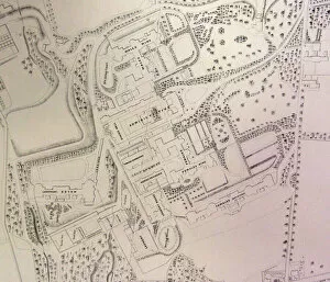
Background imageRelated Images Collection: South Yorkshire Asylum - also referred to as Wadsley Asylum later Middlewood Hospital - plan of

South Yorkshire Asylum - also referred to as Wadsley Asylum later Middlewood Hospital - plan of estate
Shows hospital buildings, including female and male wings, administrative block, nurses residence, laundry house and dining hall, as well as Airing courts, Drying Green, boiler buildings


All Professionally Made to Order for Quick Shipping


-

Why Choose Us?

We are a leading provider of Art Prints and Photo Gifts since 2004, working in partnership with a range of Sporting Clubs, Charities, Museums and Picture Libraries. A large share of profits from any of their images will go directly towards supporting that charity or club. Our archive of images is carefully curated to bring you a wide range of subjects, including landscapes, wildlife, architecture, and more. We ship from our partner labs in the UK, USA, EU (Netherlands) and Australia.
+

How do I place an order?

Ordering is quick & easy - Just follow 5 Simple Steps:
  1. Find your image: Use our search box or browse our online photo Collections to find the image you want.

  2. Choose your print format: Select your desired product and add it to your cart.

  3. Enter your details: If you're a returning customer, simply enter your email address and password, and we'll fill in your billing and shipping address details. All personal details are held securely and are fully GDPR compliant. As standard, we remove all Personally Identifiable Information after 12 months.

  4. Pay for your purchase: We use state-of-the-art security for online shopping and do not have access to your card details.

  5. Sit back and relax: We'll email you confirmation of your order and when it's dispatched. Registered customers can also track orders in the 'My Account' area.

+

How do I pay for an order?

You can pay for your order with most of the major credit and debit cards, or PayPal. For added security, major financial institutions process payment details separately and securely on our behalf. We do not have access to your online payment card details. Online payments are preferred however we do take phone orders. For UK customers only we accept cheques issued against a UK bank.
+

Is my data safe?

We take data security very seriously. We do not have access to your full card details and all payments are requested over a fully secure connection. Additionally, we fully comply with current European and GDPR legislation, and automatically remove all personal data after at most 12 months (unless you have an account with us and have signed in recently). We also have a strict opt-in policy and would never sell your personal details. Your data is only used to fulfill your order promptly and efficiently.
+

Is wall art ready to hang?

For quick and easy installation all wall art, including framed prints, canvas prints and metal prints are supplied with a ready to hang solution on the back. Generally, saw tooth hangers are applied as they allow wall art to hang flush against the wall. The serrated edge of the hanger prevents the frame from shifting or tilting when hung.
+

Are the photo prints fade resistant?

Yes, we use archival quality photo paper photographic paper for vivid reproduction Prints are an accurate representations of the original artwork, which is preserved for artistic character and authenticity. We guarantee they match previews shown on our web site