Fraud Blocker Skip to main content

Home > Maps and Charts > Related Images

Related Images Collection (page 11)

49,988 items

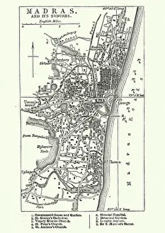
Background imageRelated Images Collection: Map of Madras (Chennai), India, 19th Century

Map of Madras (Chennai), India, 19th Century
Vintage engraving of Map of Madras (Chennai), India, 19th Century

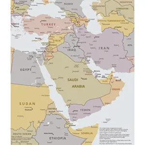
Background imageRelated Images Collection: Political map of The Middle East

Political map of The Middle East
Vector illustration of the policital map of The Middle East Reference map was created by the US Central Intelligence Agency

Background imageRelated Images Collection: Agas Map of London, c1561

Agas Map of London, c1561. Sheet 10, showing part of Southwark, London Bridge, ships on the River Thames, part of the City of London and the Tower of London with its moat

Background imageRelated Images Collection: Zimbabwe country map

Zimbabwe country map
2011 edition

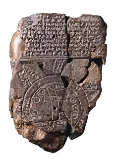
Background imageRelated Images Collection: The Babylonian Map of the World, c. 510-c. 500 BC. Artist: Assyrian Art

The Babylonian Map of the World, c. 510-c. 500 BC. Artist: Assyrian Art
The Babylonian Map of the World, c. 510-c. 500 BC. Found in the collection of British Museum

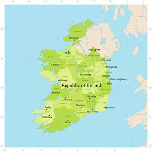
Background imageRelated Images Collection: Ireland Vector Map

Ireland Vector Map
Highly detailed vector map of the Republic of Ireland. File was created on June 24, 2011. The colors in the.eps-file are ready for print (CMYK). Included files: EPS (v8) and Hi-Res JPG

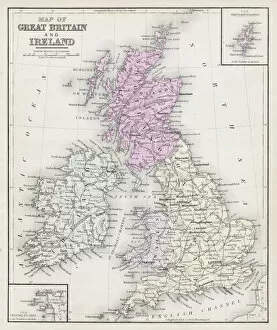
Background imageRelated Images Collection: Map of Great Britain and Ireland 1877

Map of Great Britain and Ireland 1877
Warrens Common School Geography 1877

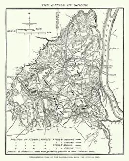
Background imageRelated Images Collection: American Civil War, Map of Battle of Shiloh

American Civil War, Map of Battle of Shiloh
Vintage engraving of the Battle of Shiloh also known as the Battle of Pittsburgh Landing, was a major battle in the Western Theater of the American Civil War, fought April 6a'7, 1862

Background imageRelated Images Collection: Antquie Map of Italy

Antquie Map of Italy
Vintage map of Italy fron 1837

Background imageRelated Images Collection: Guatemala country map

Guatemala country map
2011 edition

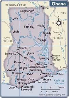
Background imageRelated Images Collection: Ghana country map

Ghana country map
2011 edition

Background imageRelated Images Collection: Tanzania country map

Tanzania country map
2011 edition

Background imageRelated Images Collection: Bristol map, 1878

Bristol map, 1878
A map of Bristol in 1878. Date: 1878

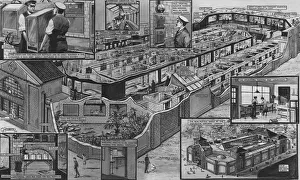
Background imageRelated Images Collection: New Reptile House at London Zoo by G H Davis

New Reptile House at London Zoo by G H Davis
A map of the newly opened reptile house in London Zoo, detailing the layout of the exhibits. It also features diagrams demonstrating several functions of the house

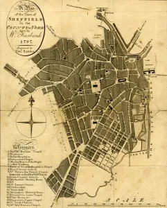
Background imageRelated Images Collection: A Plan of the town of Sheffield in the county of York drawn by W. Fairbank 1797

A Plan of the town of Sheffield in the county of York drawn by W. Fairbank 1797. Engraved by Thomas Harris
Original at Sheffield Local Studies Library:s 45 S

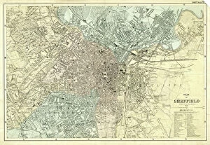
Background imageRelated Images Collection: Plan of Sheffield, Yorkshire, c. 1870 - 1905

Plan of Sheffield, Yorkshire, c. 1870 - 1905
Undated but shows the Midland Station as it was built in 1870, therefore between 1870 and 1905 when the station was enlarged. Original at Sheffield Local Studies Library: y11773

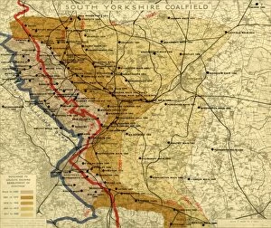
Background imageRelated Images Collection: South Yorkshire Coalfield, c. 1925

South Yorkshire Coalfield, c. 1925
Scale 2 inches : 1 mile.Size 40 x 33 cm.Original at Local Studies E49S

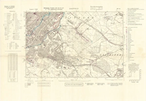
Background imageRelated Images Collection: North Sheffield marked with bombing targets, c. 1940

North Sheffield marked with bombing targets, c. 1940
Full title: Ordnance Survey map of north Sheffield copied by the Germans, and marked with bombing targets, c. 1940 Original at Sheffield Libraries: y06718

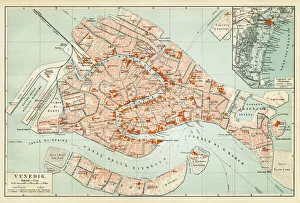
Background imageRelated Images Collection: Map of Venice 1897

Map of Venice 1897
Map of the city of Venice, Italy

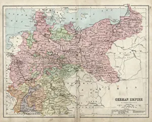
Background imageRelated Images Collection: Antique damaged map of German Empire 19th Century

Antique damaged map of German Empire 19th Century

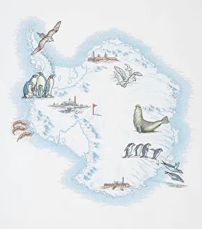
Background imageRelated Images Collection: Map of Antarctica overlaid with illustrations of Sea Gulls, Penguins, Elephant Seal

Map of Antarctica overlaid with illustrations of Sea Gulls, Penguins, Elephant Seal, Shrimp and buildings

Background imageRelated Images Collection: Diagram showing the spectral class and luminosity of stars

Diagram showing the spectral class and luminosity of stars. The diagram was named The Hertzsprung-Russell Diagram, or the H-R diagram for short

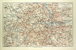
Background imageRelated Images Collection: Old Map of London

Old Map of London
OLD MAP OF LONDON

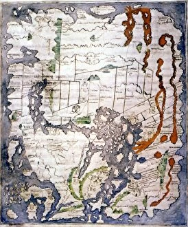
Background imageRelated Images Collection: WORLD MAP, 11th CENTURY. The Cottonian or Anglo-Saxon World Map

WORLD MAP, 11th CENTURY. The Cottonian or Anglo-Saxon World Map

Background imageRelated Images Collection: Tourist map of Bergen, Norway

Tourist map of Bergen, Norway
Tourist map (TKT - Turisttrafikkomiteen) of Bergen, Hordaland County, Norway. Date: 1951

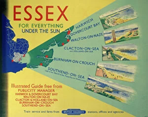
Background imageRelated Images Collection: Essex: For Everything Under the Sun, BR poster, 1948-1965

Essex: For Everything Under the Sun, BR poster, 1948-1965
Poster produced for British Railways (BR) to promote rail travel to and within Essex. The poster shows a map of the east of England with Essex highlighted

Background imageRelated Images Collection: Isle of Man, BR (LMR) poster, 1955

Isle of Man, BR (LMR) poster, 1955
Poster produced for British Railways (BR), London Midland Region (LMR) promoting rail travel to the Isle of Man, showing an aerial view of the island

Background imageRelated Images Collection: Map of Croatia

Map of Croatia

Background imageRelated Images Collection: Railway map of Britain

Railway map of Britain
Philips railway map of the British Isles, c1923 Date: c. 1923

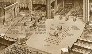
Background imageRelated Images Collection: Map of the Coronation ritual within Westminster Abbey

Map of the Coronation ritual within Westminster Abbey
A panoramic view inside Westminster Abbey to show the position, movements and sequence of ceremonies (indicated by numbers) of the Coronation ceremony of King George VI. Date: 1937

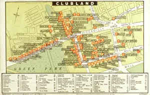
Background imageRelated Images Collection: A map of Ladies and Gentlemans Clubs of London

A map of Ladies and Gentlemans Clubs of London
A map of Ladies and Gentlemans Clubs of the West End of London - Clubland. Date: circa 1910

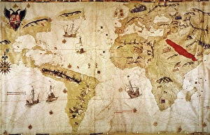
Background imageRelated Images Collection: VESPUCCIs WORLD MAP, 1526. Juan Vespuccis world map, 1526

VESPUCCIs WORLD MAP, 1526. Juan Vespuccis world map, 1526

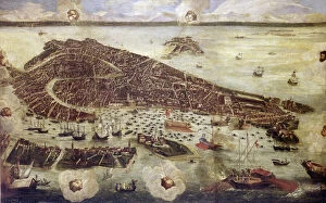
Background imageRelated Images Collection: VENICE: MAP, 17TH CENTURY. Map of Venice by Guiseppe Heintz, 17th century

VENICE: MAP, 17TH CENTURY. Map of Venice by Guiseppe Heintz, 17th century

Background imageRelated Images Collection: Paint Chart / 1908

Paint Chart / 1908
PAINT CHART

Background imageRelated Images Collection: Barbarossa-Era Italy Map

Barbarossa-Era Italy Map
A map of Italy in the reign of Holy Roman Emperor Friedrich I, known as Barbarossa

Background imageRelated Images Collection: Map of the Scilly Isles

Map of the Scilly Isles
Vintage map from 1880 of the Scilly Isles an archipelago off the southwestern tip of the Cornish peninsula of Great Britain

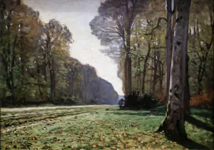
Background imageRelated Images Collection: Le pave de Chailly 1865 (Oil on Canvas)

Le pave de Chailly 1865 (Oil on Canvas)
7212095 Le pave de Chailly 1865 (Oil on Canvas) by Monet, Claude (1840-1926); Musee d Orsay, Paris, France; (add.info.: Le pave de Chailly 1865. Oil on Canvas)

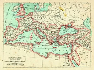
Background imageRelated Images Collection: Roman Empire at its height under emperor Trajan 117 AD

Roman Empire at its height under emperor Trajan 117 AD
Map of ancient rome The Roman Empire at its height Emperor Trajan (ruled 98 - 117 AD) was Romes most expansionist ruler, his death marking the high water mark of Romes size

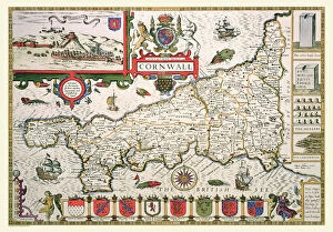
Background imageRelated Images Collection: Old County Map of Cornwall 1611 by John Speed

Old County Map of Cornwall 1611 by John Speed
A facimile of John Speeds historical map of Cornwall originally published for the " Theatre of the Empire of Great Britain", an atlas to accompany " a history of Great Britain"

Background imageRelated Images Collection: Old Map of Dudley 1835

Old Map of Dudley 1835
J037

Background imageRelated Images Collection: Old Map of The Isle of Man 1836 by Thomas Moule

Old Map of The Isle of Man 1836 by Thomas Moule
This is a fine decorative reproduction Map of The Isle of Man from the First Edition series of Thomas Moule Maps, originally Published in 1836

Background imageRelated Images Collection: Old Map of Bath 1851 by John Tallis

Old Map of Bath 1851 by John Tallis
This is a splendid Victorian map by John Tallis 1851 of the historic Spa City of Bath in North East Somerset nestled between a bend on the River Avon

Background imageRelated Images Collection: Old County Map of Fife 1654 by Johan Blaeu from the Atlas Novus

Old County Map of Fife 1654 by Johan Blaeu from the Atlas Novus
This detailed and most attractive reproduction map of Fife has been carefully art worked from a scan of an antique original

Background imageRelated Images Collection: Old Map of Scotland 1611 by John Speed

Old Map of Scotland 1611 by John Speed
A facimile of John Speeds historical map of Scotland originally published for the " Theatre of the Empire of Great Britain", an atlas to accompany " a history of Great Britain"

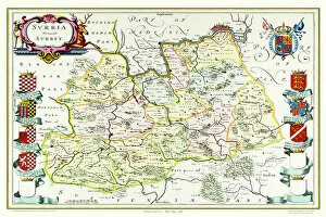
Background imageRelated Images Collection: Old County Map of Surrey 1648 by Johan Blaeu from the Atlas Novus

Old County Map of Surrey 1648 by Johan Blaeu from the Atlas Novus
This detailed and most attractive reproduction map of Surrey has been carefully art worked from a scan of an antique original

Background imageRelated Images Collection: Old Map of Scotland 1852 by Henry George Collins

Old Map of Scotland 1852 by Henry George Collins
This is a finely detailed map of Scotland remastered from a rare Atlas of the World published in 1852 by Henry George Collins

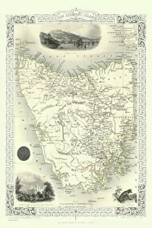
Background imageRelated Images Collection: Van Diemens Island, or Tasmania 1851

Van Diemens Island, or Tasmania 1851
A fine facimile artworked from an antique original map of Van Diemens Land or Tasmania, issued as part of the 1851 edition of John Tallis and Companys " The Illustrated Atlas

Background imageRelated Images Collection: Old Map of Bristol 1903

Old Map of Bristol 1903
J104


All Professionally Made to Order for Quick Shipping


-

Why Choose Us?

We are a leading provider of Art Prints and Photo Gifts since 2003, working in partnership with a range of Sporting Clubs, Charities, Museums and Picture Libraries. A large share of profits from any of their images will go directly towards supporting that charity or club. Our archive of images is carefully curated to bring you a wide range of subjects, including landscapes, wildlife, architecture, and more. We ship from our partner labs in the UK, USA, EU (Netherlands) and Australia.
+

How do I place an order?

Ordering is quick & easy - Just follow 5 Simple Steps:
  1. Find your image: Use our search box or browse our online photo Collections to find the image you want.

  2. Choose your print format: Select your desired product and add it to your cart.

  3. Enter your details: If you're a returning customer, simply enter your email address and password, and we'll fill in your billing and shipping address details. All personal details are held securely and are fully GDPR compliant. As standard, we remove all Personally Identifiable Information after 12 months.

  4. Pay for your purchase: We use state-of-the-art security for online shopping and do not have access to your card details.

  5. Sit back and relax: We'll email you confirmation of your order and when it's dispatched. Registered customers can also track orders in the 'My Account' area.

+

How do I pay for an order?

You can pay for your order with most of the major credit and debit cards, or PayPal. For added security, major financial institutions process payment details separately and securely on our behalf. We do not have access to your online payment card details. Online payments are preferred however we do take phone orders. For UK customers only we accept cheques issued against a UK bank.
+

Is my data safe?

We take data security very seriously. We do not have access to your full card details and all payments are requested over a fully secure connection. Additionally, we fully comply with current European and GDPR legislation, and automatically remove all personal data after at most 12 months (unless you have an account with us and have signed in recently). We also have a strict opt-in policy and would never sell your personal details. Your data is only used to fulfill your order promptly and efficiently.
+

Is wall art ready to hang?

For quick and easy installation all wall art, including framed prints, canvas prints and metal prints are supplied with a ready to hang solution on the back. Generally, saw tooth hangers are applied as they allow wall art to hang flush against the wall. The serrated edge of the hanger prevents the frame from shifting or tilting when hung.
+

Are the photo prints fade resistant?

Yes, we use archival quality photo paper photographic paper for vivid reproduction Prints are an accurate representations of the original artwork, which is preserved for artistic character and authenticity. We guarantee they match previews shown on our web site