
Germany Collection
Germany is a country located in central Europe with a population of over 83 million people and has a diverse landscape
Choose a picture from our Germany Collection for your Wall Art and Photo Gifts
7,254 items


All Professionally Made to Order for Quick Shipping
-
Germany Collection
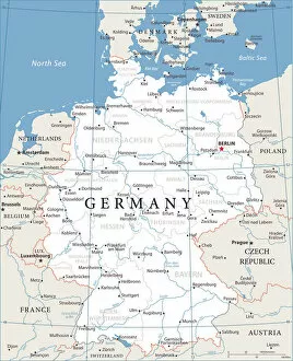
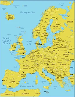
Germany is a country located in central Europe with a population of over 83 million people and has a diverse landscape, ranging from the Alps in the south to the North Sea and Baltic Sea coasts in the north. The country is known for its strong economy, which is driven by industries such as automotive manufacturing, engineering, and pharmaceuticals. It also has a rich cultural history, with famous composers like Beethoven and Bach hailing from the country. Its capital city Berlin is renowned for its vibrant art scene and historical landmarks such as the Brandenburg Gate.
+
Our beautiful pictures are available as Framed Prints, Photos, Wall Art and Photo Gifts
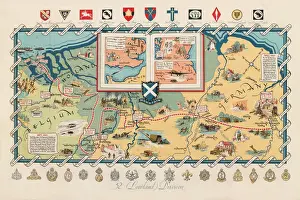
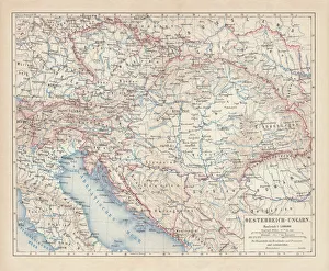
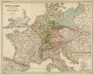
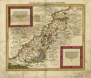
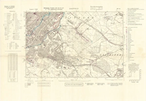
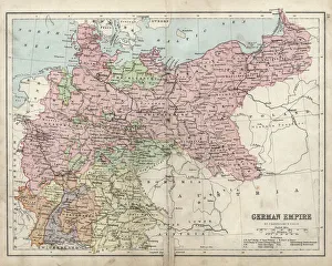
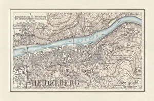
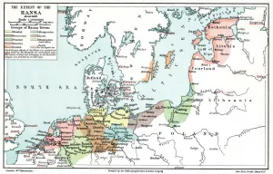
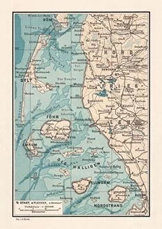
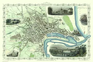
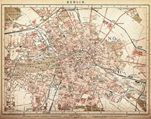
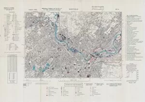
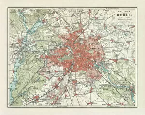
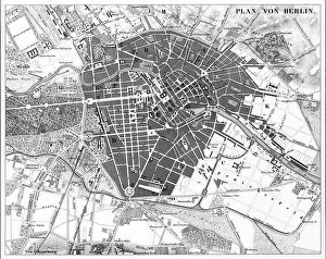
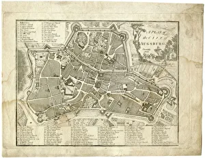
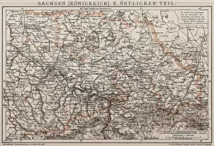
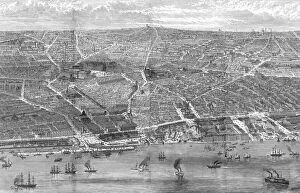
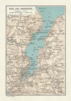
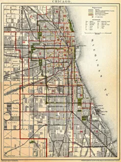
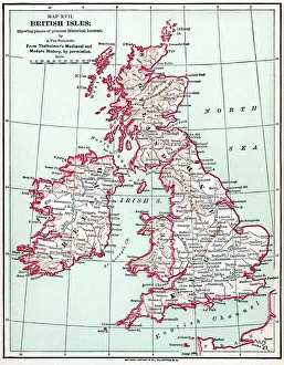
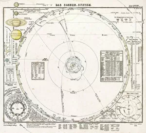
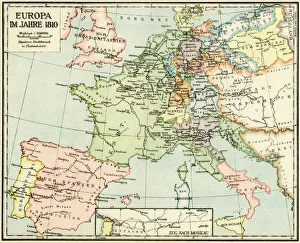
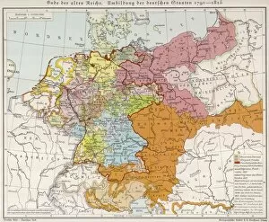
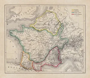
The Germany collection from Media Storehouse offers a wide selection of wall art and framed prints that showcase the beauty, history, and culture of Germany. Our collection features an array of maps and charts that depict the country's geography, landmarks, cities, regions, and historical events. From vintage maps to modern designs, our collection caters to different tastes and preferences. Some of the popular items in our collection include antique city plans of Berlin or Munich; topographic maps of Bavaria or Black Forest; political maps showing Germany's borders over time; charts illustrating Germanic tribes' migration patterns during ancient times. These artworks are available in various sizes and formats such as canvas prints or traditional frames. They make great decorations for homes, offices or public spaces like museums or libraries. The Germany collection is a must-see for anyone interested in exploring the rich heritage of this fascinating country through visual art.
+
What are Germany (Maps and Charts) art prints?
Germany art prints are high-quality reproductions of historical maps and charts depicting various regions, cities, and landmarks in Germany. These prints showcase the intricate details of the original maps and charts, including topography, street names, buildings, rivers, and other geographical features. These art prints are perfect for history enthusiasts who want to explore Germany's rich cultural heritage or for those who simply appreciate beautiful cartographic artwork. They can be used as decorative pieces in homes or offices or as educational tools in schools and libraries. We offer a wide range of Germany art prints that cater to different tastes and preferences. You can choose from vintage-style sepia-toned maps to colorful contemporary designs that highlight specific areas or themes such as wine regions or cycling routes. These art prints provide a unique way to experience Germany's geography and history while adding aesthetic value to any space.
+
What Germany (Maps and Charts) art prints can I buy from Media Storehouse?
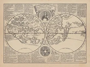
We offer a wide range of Germany maps and charts art prints that you can purchase. These include vintage maps, city plans, topographical charts, and historical atlases. You can choose from different styles and sizes to suit your preferences. One popular option is the antique map of Germany created by cartographer Gerard Mercator in 1595. This beautifully detailed map shows the country's regions, cities, rivers, and mountains as they were known during the Renaissance period. Another interesting print is the Berlin Wall Map which depicts the infamous wall that divided East and West Berlin during the Cold War era. The map includes details on checkpoints, watchtowers, escape tunnels and other features related to this historic event. Whether you are looking for a decorative piece for your home or office or an educational resource for teaching purposes, we have a variety of Germany maps and charts art prints available to suit your needs.
+
How do I buy Germany (Maps and Charts) art prints?
To buy Germany art prints from Media Storehouse, you can browse our extensive collection of high-quality prints online. Simply search for the specific artwork or artist you are interested in, or filter by category to find maps and charts related to Germany. Once you have found a print that catches your eye, select the size and format that best suits your needs. We offer a range of options for printing on different materials such as canvas, photographic paper, and fine art paper. You can also choose to have your print framed or unframed depending on your preference. Once you have made your selection, simply add it to your cart and proceed to checkout. Payment is easy with various payment methods available including credit card payments. Buying Germany art prints from Media Storehouse is a straightforward process that allows you to easily access beautiful artworks at affordable prices.
+
How much do Germany (Maps and Charts) art prints cost?
We offer a wide range of Germany art prints at varying prices. Our collection includes vintage maps, historical charts, and modern interpretations of the country's geography. The cost of each print depends on several factors such as size, framing options, and printing material. We understand that every customer has unique preferences when it comes to purchasing art prints. That is why we have made sure to provide a diverse selection that caters to different tastes and budgets. Whether you are looking for an affordable poster or a high-quality canvas print, we have something for everyone. Our Germany art prints make great additions to any home or office space. They are not only aesthetically pleasing but also educational pieces that can spark interesting conversations about history and geography. So if you're interested in adding some German-inspired artwork to your collection, be sure to check out our selection today.
+
How will my Germany (Maps and Charts) art prints be delivered to me?
Your Germany art prints will be delivered to you in a safe and secure manner by our trusted delivery partners. We take great care to ensure that your artwork is packaged with the utmost care, so it arrives at your doorstep in pristine condition. Depending on the size of your order, we may use different shipping methods such as standard post or courier services. We understand how important it is for you to receive your artwork promptly, which is why we work hard to dispatch all orders as quickly as possible. Once dispatched, you will receive an email notification containing tracking information so that you can keep track of your package's progress. We are committed to providing our customers with high-quality products and exceptional service. If for any reason you are not completely satisfied with your purchase, please do not hesitate to contact us so that we can resolve any issues promptly.