Fraud Blocker Skip to main content

Home > Maps and Charts > Early Maps

Early Maps Collection (page 6)

Early maps, also known as maps and charts, were created by ancient civilizations to navigate their surroundings

26,415 items

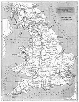
Background imageEarly Maps Collection: Roman Britain Map

Roman Britain Map
A map depicting the network of Roman settlements in Britain

Background imageEarly Maps Collection: MAP: UNITED STATES, 1905. Map of the continental United States (excluding Alaska), 1905

MAP: UNITED STATES, 1905. Map of the continental United States (excluding Alaska), 1905

Background imageEarly Maps Collection: 17th century map of Europe

17th century map of Europe

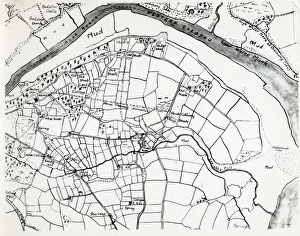
Background imageEarly Maps Collection: Sketch map of Hook, Pembrokeshire, South Wales

Sketch map of Hook, Pembrokeshire, South Wales
A sketch map of the village of Hook, including the various mining shafts of the colliery, on the Western Cleddau near Haverfordwest, Pembrokeshire, South Wales

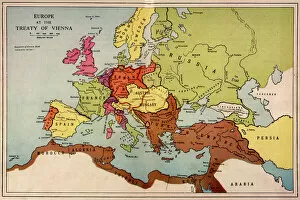
Background imageEarly Maps Collection: 1815 Europe Map

1815 Europe Map
A map of Europe at the time of the Congress of Vienna

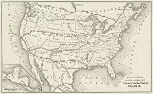
Background imageEarly Maps Collection: USA Railway Map

USA Railway Map
Transcontinental railway map of the United States of America and the adjoining British possessions. Date: 1883

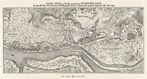
Background imageEarly Maps Collection: Ukraine / Kiev / Old Map 881

Ukraine / Kiev / Old Map 881
Kiev: the oldest known map

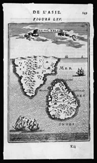
Background imageEarly Maps Collection: Map / Asia / Sri Lanka 1719

Map / Asia / Sri Lanka 1719
ISLE DE CEYLAN and southern India

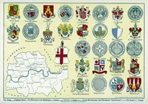
Background imageEarly Maps Collection: London arms and seals

London arms and seals
The Arms and Common Seals of the Metropolitan Boroughs of London and of the City of London, with a block map showing their boundaries

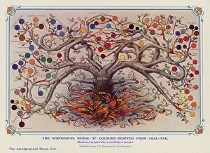
Background imageEarly Maps Collection: Colours derived from coal tar (colour litho)

Colours derived from coal tar (colour litho)
7185313 Colours derived from coal tar (colour litho) by English School, (20th century); Private Collection; (add.info.: The range of wonderful colours derived from coal tar)

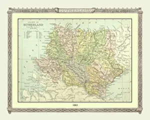
Background imageEarly Maps Collection: Old Map of the County of Sutherland from the Philips Handy Atlas of 1882

Old Map of the County of Sutherland from the Philips Handy Atlas of 1882
PHA030

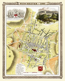
Background imageEarly Maps Collection: Old Map of Winchester 1805 by Cole and Roper

Old Map of Winchester 1805 by Cole and Roper
An attractive and detailed early 19th century reproduction town plan of Winchester 1805. First published by Cole and Roper as a finely engraved series of county maps

Background imageEarly Maps Collection: Old Map of The Isle of Wight 1611 by John Speed

Old Map of The Isle of Wight 1611 by John Speed
A facimile of John Speeds historical map of the Isle of Wight originally published for the " Theatre of the Empire of Great Britain"

Background imageEarly Maps Collection: Old County Map of Somersetshire 1611 by John Speed

Old County Map of Somersetshire 1611 by John Speed
A facimile of John Speeds historical map of Somersetshire originally published for the " Theatre of the Empire of Great Britain"

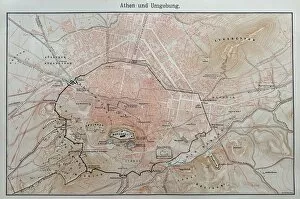
Background imageEarly Maps Collection: Map of ancient Athens

Map of ancient Athens
Illustration from 19th century

Background imageEarly Maps Collection: Ancient rome, regions map of Rome

Ancient rome, regions map of Rome
Illustration from 19th century

Background imageEarly Maps Collection: Squier Map of Hopewell Culture National Historical Park in Ross County, Ohio, USA

Squier Map of Hopewell Culture National Historical Park in Ross County, Ohio, USA
Map of the Scioto River Valley around Chillicothe in Ross County, New York, United States of America. Map by Ephraim George Squier

Background imageEarly Maps Collection: Antique map of Ancient Greece

Antique map of Ancient Greece

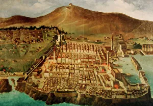
Background imageEarly Maps Collection: Dubrovnik. Map of the city before the earthquake of 1667

Dubrovnik. Map of the city before the earthquake of 1667. Croatia

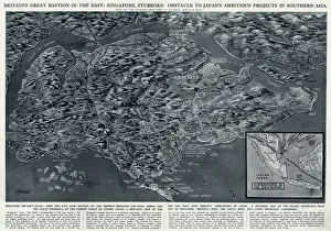
Background imageEarly Maps Collection: Singapore, bastion in the East, by G. H. Davis

Singapore, bastion in the East, by G. H. Davis
Britains great bastion in the East: Singapore, stubborn obstacle to Japans ambitious projects in Southern Asia during the Second World War

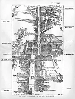
Background imageEarly Maps Collection: Map of the St. Jamess & Bond Street areas of London

Map of the St. Jamess & Bond Street areas of London
A map of the St. Jamess and Bond Street areas of London, with a number of key landmarks annotated including the famous gentlemens clubs of St

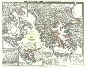
Background imageEarly Maps Collection: 1865, Spruner Map of Greece, Macedonia and Thrace before the Peloponnesian War. topography

1865, Spruner Map of Greece, Macedonia and Thrace before the Peloponnesian War. topography
1865, Spruner Map of Greece, Macedonia and Thrace before the Peloponnesian War

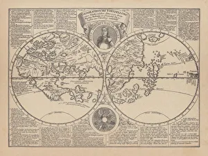
Background imageEarly Maps Collection: World map by Martin Behaim, 1492, wood engraving, published 1884

World map by Martin Behaim, 1492, wood engraving, published 1884
World map by Martin Behaim, 1492. Woodcut engraving from my archive, published in 1884

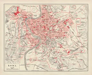
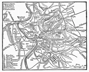
Background imageEarly Maps Collection: City map of Rome, lithograph, published in 1878

City map of Rome, lithograph, published in 1878
City map of Rome, Italy. Lithograph, published in 1878

Background imageEarly Maps Collection: Antique map of Ancient Greece

Antique map of Ancient Greece, 1864

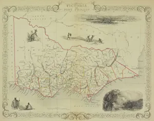
Background imageEarly Maps Collection: Antique map of Victoria or Port Phillip in Australia with vignettes

Antique map of Victoria or Port Phillip in Australia with vignettes

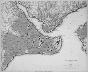
Background imageEarly Maps Collection: Antique map of Constantinople, present day Istanbul

Antique map of Constantinople, present day Istanbul

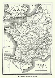
Background imageEarly Maps Collection: Map of Ancient Gaul (France)

Map of Ancient Gaul (France)
Vintage engraving of a Map of Ancient Gaul (France)

Background imageEarly Maps Collection: Map of Scandinavia

Map of Scandinavia

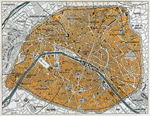
Background imageEarly Maps Collection: City map of Paris

City map of Paris
Antique illustration of a City map of Paris

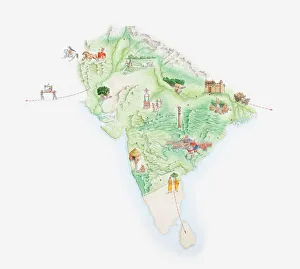
Background imageEarly Maps Collection: Illustrated map of India showing ancient Mauryan empire

Illustrated map of India showing ancient Mauryan empire

Background imageEarly Maps Collection: Cumberland and the Ancient City of Carlile, engraved by Jodocus Hondius (1563-1612)

Cumberland and the Ancient City of Carlile, engraved by Jodocus Hondius (1563-1612)
XCF113480 Cumberland and the Ancient City of Carlile, engraved by Jodocus Hondius (1563-1612) from John Speeds Theatre of the Empire of Great Britain, pub

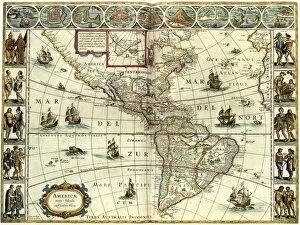
Background imageEarly Maps Collection: MAP: AMERICAS, c1630. A map of North and South America created by Dutch cartographer

MAP: AMERICAS, c1630. A map of North and South America created by Dutch cartographer and atlas maker Willem Blaeu. Map, c1630

Background imageEarly Maps Collection: Harting tithe map, 1840

Harting tithe map, 1840
From Shorto by D. Ayling, Liss, Petersfield. 13.3 in. to 1 m. 81 × 57 Tithe Award Map Collection West Sussex Record Office Ref No: TD/W65

Background imageEarly Maps Collection: Cowfold tithe map, 1840

Cowfold tithe map, 1840
By William Duncum, Reading, Berks. 26.6 in. to 1 m. 104 × 92 Tithe Award Map Collection West Sussex Record Office Ref No: TD/W154

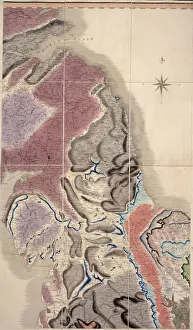
Background imageEarly Maps Collection: First geological map of Britain, 1815 C016 / 5683

First geological map of Britain, 1815 C016 / 5683
First geological map of Britain, detail of the north east coast (figure 8). This map was published in 1815 by British geologist William Smith (1769-1839)

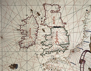
Background imageEarly Maps Collection: Spanish map of England, Scotland and Ireland

Spanish map of England, Scotland and Ireland
A Spanish map of England, Scotland and Ireland and the coast of northern France from the time of the Anglo Spanish War. Joan Martines (1556-1591). Date: 1587

Background imageEarly Maps Collection: Chithurst Tithe Map, c. 1840

Chithurst Tithe Map, c. 1840
No date, but Tithe Award dated 1840. By Frederick & Henry E. Drayson. 26.6 in. to 1 m. Original map size 83in. × 36in. Tithe Award Map Collection West Sussex Record Office Ref No: TD/W31

Background imageEarly Maps Collection: ROMAN EMPIRE: MAP OF ROME. Plan of Rome at the time of Augustus, first Roman emperor, 27 B. C

ROMAN EMPIRE: MAP OF ROME. Plan of Rome at the time of Augustus, first Roman emperor, 27 B. C. -14 A. D
ROMAN EMPIRE: MAP OF ROME. Plan of Rome at the time of Augustus, first Roman emperor, 27 B.C.-14 A.D

Background imageEarly Maps Collection: Herschels impression of the Milky Way

Herschels impression of the Milky Way

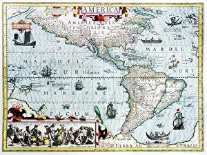
Background imageEarly Maps Collection: 17th century map of the New World

17th century map of the New World
Western Hemisphere, 17th century Dutch map. This shows the New World that was being discovered by Europeans exploring the Western Hemisphere of the Earth

Background imageEarly Maps Collection: Continental drift, 100 million years ago

Continental drift, 100 million years ago. Map of the Earth showing the continents some 100 million years after the start of the break-up of the ancient supercontinent of Pangea

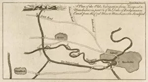
Background imageEarly Maps Collection: Bridgewater Canal Map

Bridgewater Canal Map
Map showing the route of the proposed canal from Worsley to Manchester and thence to the Mersey, to be built by engineer James Brindley for the duke of Bridgewater

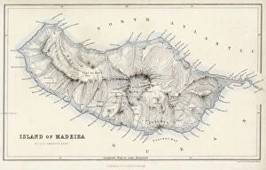
Background imageEarly Maps Collection: Map / Europe / Madeira 19C

Map / Europe / Madeira 19C
Map of Madeira

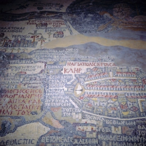
Background imageEarly Maps Collection: Madaba Mosaic Map, 6th century AD, detail showing Jerusalem, Madaba, Jordan

Madaba Mosaic Map, 6th century AD, detail showing Jerusalem, Madaba, Jordan, Middle East " The mosaic represents the biblical land from Egypt to Lebanon including Sinai, Israel

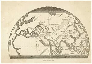
Background imageEarly Maps Collection: Marco Polo / Map

Marco Polo / Map
A map tracing the journeys made by Marco Polo

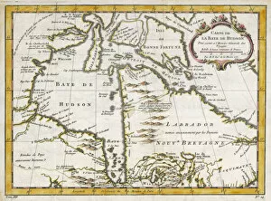
Background imageEarly Maps Collection: Hudsons Bay Map

Hudsons Bay Map
HUDSONs BAY, at the time of the Seven Years War, showing French and English forts including Fort York, the principal settlement of the Hudsons Bay Company

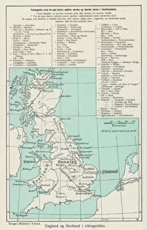
Background imageEarly Maps Collection: VIKING MAP

VIKING MAP
A map showing the Viking names for places in Britain


All Professionally Made to Order for Quick Shipping


-

Early Maps Collection

Early maps, also known as maps and charts, were created by ancient civilizations to navigate their surroundings. These early cartographers used various techniques such as observation, measurement, and estimation to create accurate depictions of the world around them. The earliest known map dates back to 6th century BCE in Babylonia. As time progressed, more advanced mapping techniques were developed including the use of longitude and latitude lines for navigation purposes. Maps have played a significant role in history by aiding explorers in discovering new lands and helping nations establish boundaries. Today, they can valuable artifacts that provide insight into the past and serve as a reminder of how far cartography has come over time.
+

Our beautiful pictures are available as Framed Prints, Photos, Wall Art and Photo Gifts

The Early Maps collection from Media Storehouse is a fascinating assortment of historical maps and charts that offer an insight into the evolution of cartography. Our collection features antique maps dating back to the 16th century, including world maps, regional maps, city plans, and nautical charts. These meticulously crafted pieces are not only visually stunning but also provide valuable information about the geography, topography, and political boundaries of different regions throughout history. The Early Maps collection offers a unique opportunity for art enthusiasts, historians or anyone interested in exploring the past through visual representation. The prints are available in various sizes and formats such as canvas prints or framed wall art making them suitable for any home or office decor. Whether you're looking to add a touch of vintage charm to your living space or seeking inspiration for research projects on historical geography or navigation techniques - our collection has something for everyone.
+

What are Early Maps (Maps and Charts) art prints?

Early Maps art prints are reproductions of historical maps and charts that were created centuries ago. These maps were originally made by cartographers who used various techniques to accurately depict the geography, topography, and other features of different regions around the world. Early Maps art prints offer a glimpse into how people perceived the world in earlier times, as well as providing valuable information about past civilizations, cultures, and trade routes. These art prints are ideal for history buffs, collectors or anyone who appreciates vintage artwork. They can be displayed in homes or offices to add a touch of elegance and sophistication to any space. We offer a wide variety of Early Maps art prints from different eras such as medieval Europe, ancient Rome or China during the Ming dynasty. These beautiful reproductions provide an opportunity for individuals to own a piece of history while also enjoying stunning works of art that showcase incredible craftsmanship from long ago.
+

What Early Maps (Maps and Charts) art prints can I buy from Media Storehouse?

We offer a wide range of early maps and charts art prints for purchase. These include antique world maps, vintage city plans, historical nautical charts, and topographical surveys from various periods in history. Some of the most popular collections available on Media Storehouse are the 16th-century world maps by Gerardus Mercator and Abraham Ortelius, as well as the 18th-century British county maps by John Speed. In addition to these classic pieces, Media Storehouse also has an extensive collection of rare and unique maps that showcase different regions around the globe. Whether you're looking for a map of ancient Rome or a detailed chart of the Caribbean islands from the 17th century, there is something for everyone at Media Storehouse. All art prints are produced using high-quality materials to ensure they look great on any wall. They come in a variety of sizes and finishes to suit your needs. With so many options available, finding the perfect early map or chart print has never been easier.
+

How do I buy Early Maps (Maps and Charts) art prints?

To buy Early Maps art prints from Media Storehouse, you can browse our online collection of maps and charts. Once you have found the print that you like, simply add it to your cart and proceed to checkout. You will be prompted to enter your shipping information and payment details. After completing your purchase, your print will be printed on high-quality paper using archival inks. We offer a wide range of sizes for their prints so that you can choose the perfect size for your space. We also offer framing options if you prefer to receive a framed print rather than an unframed one. Whether you are looking for antique maps or modern interpretations of historical cartography, we have a vast selection of Early Maps art prints available for purchase. Our easy-to-use website makes it simple to find the perfect piece of artwork for any room in your home or office.
+

How much do Early Maps (Maps and Charts) art prints cost?

We offer a wide range of Early Maps art prints that vary in price depending on the size and type of print you choose. Our prices are competitive and affordable, making it easy for anyone to own a piece of history through our collection of vintage maps and charts. Our Early Maps art prints come in various sizes ranging from small to large, so you can find the perfect fit for your home or office space. We also offer different types of paper finishes such as matte or glossy to suit your preference. Whether you're looking for a unique gift or want to add some character to your living space, our Early Maps art prints are an excellent choice. With their intricate details and historical significance, they make for fascinating conversation starters while adding charm to any room.
+

How will my Early Maps (Maps and Charts) art prints be delivered to me?

We take great care in delivering your Early Maps art prints to you. We use high-quality packaging materials to ensure that your prints are protected during transit. Depending on the size of your order, we may use either a sturdy cardboard tube or a flat package with reinforced corners. We work closely with our trusted delivery partners to ensure that your order arrives safely and on time. Our standard delivery service is reliable and efficient, but if you need your order urgently, we also offer express shipping options for an additional fee. Once your order has been dispatched, you will receive a tracking number so that you can monitor its progress online. If there are any issues with the delivery of your print(s), please do not hesitate to contact us - our friendly customer service team will be happy to assist you in resolving any problems as quickly as possible.