
Early Maps Collection (page 2)
Early maps, also known as maps and charts, were created by ancient civilizations to navigate their surroundings
26,995 items


All Professionally Made to Order for Quick Shipping
-
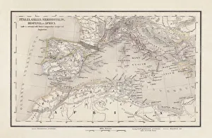
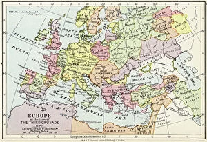
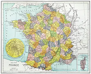
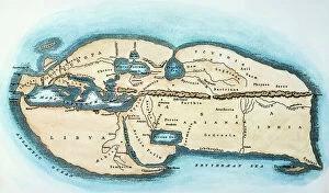
Early Maps Collection
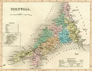
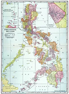
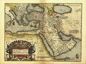
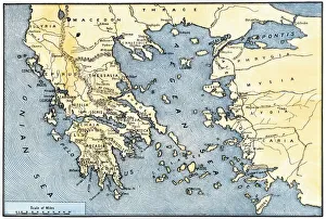
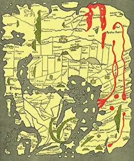
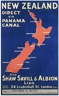
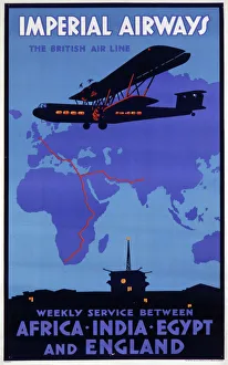
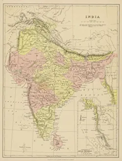
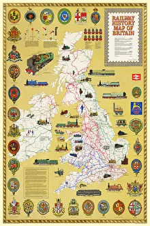
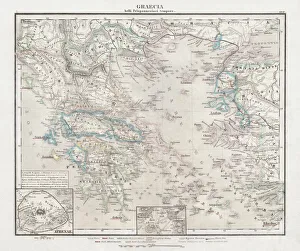
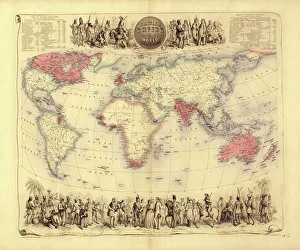
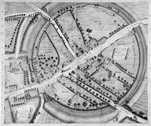
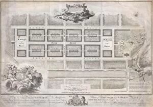
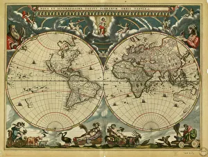
Early maps, also known as maps and charts, were created by ancient civilizations to navigate their surroundings. These early cartographers used various techniques such as observation, measurement, and estimation to create accurate depictions of the world around them. The earliest known map dates back to 6th century BCE in Babylonia. As time progressed, more advanced mapping techniques were developed including the use of longitude and latitude lines for navigation purposes. Maps have played a significant role in history by aiding explorers in discovering new lands and helping nations establish boundaries. Today, they can valuable artifacts that provide insight into the past and serve as a reminder of how far cartography has come over time.
+
Our beautiful pictures are available as Framed Prints, Photos, Wall Art and Photo Gifts
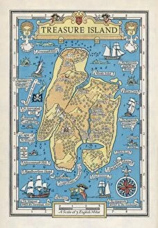
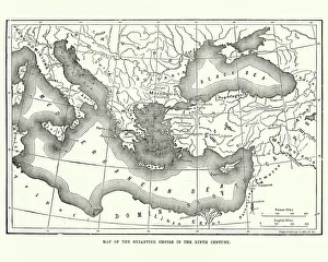
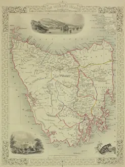
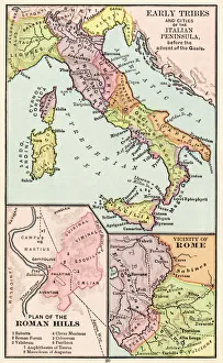
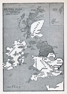
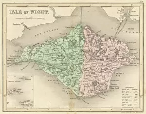
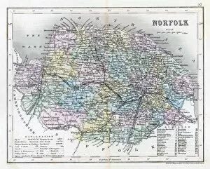
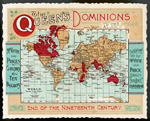
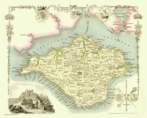
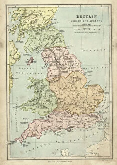
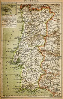
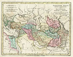
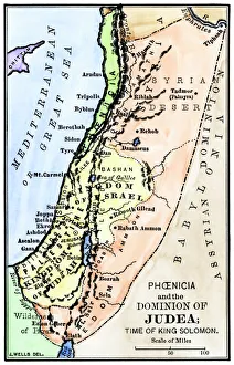
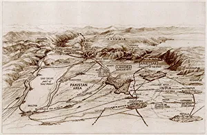
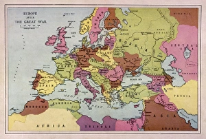
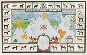
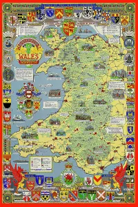
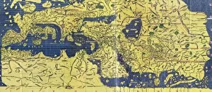
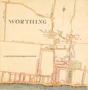
The Early Maps collection from Media Storehouse is a fascinating assortment of historical maps and charts that offer an insight into the evolution of cartography. Our collection features antique maps dating back to the 16th century, including world maps, regional maps, city plans, and nautical charts. These meticulously crafted pieces are not only visually stunning but also provide valuable information about the geography, topography, and political boundaries of different regions throughout history. The Early Maps collection offers a unique opportunity for art enthusiasts, historians or anyone interested in exploring the past through visual representation. The prints are available in various sizes and formats such as canvas prints or framed wall art making them suitable for any home or office decor. Whether you're looking to add a touch of vintage charm to your living space or seeking inspiration for research projects on historical geography or navigation techniques - our collection has something for everyone.
+
What are Early Maps (Maps and Charts) art prints?
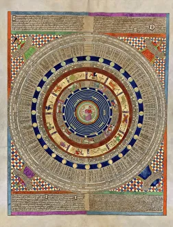
Early Maps art prints are reproductions of historical maps and charts that were created centuries ago. These maps were originally made by cartographers who used various techniques to accurately depict the geography, topography, and other features of different regions around the world. Early Maps art prints offer a glimpse into how people perceived the world in earlier times, as well as providing valuable information about past civilizations, cultures, and trade routes. These art prints are ideal for history buffs, collectors or anyone who appreciates vintage artwork. They can be displayed in homes or offices to add a touch of elegance and sophistication to any space. We offer a wide variety of Early Maps art prints from different eras such as medieval Europe, ancient Rome or China during the Ming dynasty. These beautiful reproductions provide an opportunity for individuals to own a piece of history while also enjoying stunning works of art that showcase incredible craftsmanship from long ago.
+
What Early Maps (Maps and Charts) art prints can I buy from Media Storehouse?
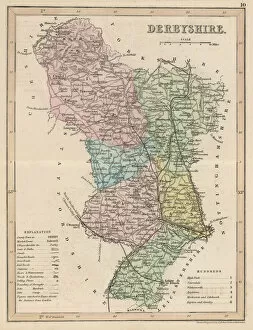
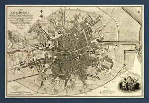
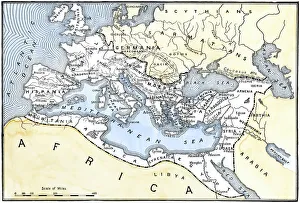
We offer a wide range of early maps and charts art prints for purchase. These include antique world maps, vintage city plans, historical nautical charts, and topographical surveys from various periods in history. Some of the most popular collections available on Media Storehouse are the 16th-century world maps by Gerardus Mercator and Abraham Ortelius, as well as the 18th-century British county maps by John Speed. In addition to these classic pieces, Media Storehouse also has an extensive collection of rare and unique maps that showcase different regions around the globe. Whether you're looking for a map of ancient Rome or a detailed chart of the Caribbean islands from the 17th century, there is something for everyone at Media Storehouse. All art prints are produced using high-quality materials to ensure they look great on any wall. They come in a variety of sizes and finishes to suit your needs. With so many options available, finding the perfect early map or chart print has never been easier.
+
How do I buy Early Maps (Maps and Charts) art prints?
To buy Early Maps art prints from Media Storehouse, you can browse our online collection of maps and charts. Once you have found the print that you like, simply add it to your cart and proceed to checkout. You will be prompted to enter your shipping information and payment details. After completing your purchase, your print will be printed on high-quality paper using archival inks. We offer a wide range of sizes for their prints so that you can choose the perfect size for your space. We also offer framing options if you prefer to receive a framed print rather than an unframed one. Whether you are looking for antique maps or modern interpretations of historical cartography, we have a vast selection of Early Maps art prints available for purchase. Our easy-to-use website makes it simple to find the perfect piece of artwork for any room in your home or office.
+
How much do Early Maps (Maps and Charts) art prints cost?
We offer a wide range of Early Maps art prints that vary in price depending on the size and type of print you choose. Our prices are competitive and affordable, making it easy for anyone to own a piece of history through our collection of vintage maps and charts. Our Early Maps art prints come in various sizes ranging from small to large, so you can find the perfect fit for your home or office space. We also offer different types of paper finishes such as matte or glossy to suit your preference. Whether you're looking for a unique gift or want to add some character to your living space, our Early Maps art prints are an excellent choice. With their intricate details and historical significance, they make for fascinating conversation starters while adding charm to any room.
+
How will my Early Maps (Maps and Charts) art prints be delivered to me?
We take great care in delivering your Early Maps art prints to you. We use high-quality packaging materials to ensure that your prints are protected during transit. Depending on the size of your order, we may use either a sturdy cardboard tube or a flat package with reinforced corners. We work closely with our trusted delivery partners to ensure that your order arrives safely and on time. Our standard delivery service is reliable and efficient, but if you need your order urgently, we also offer express shipping options for an additional fee. Once your order has been dispatched, you will receive a tracking number so that you can monitor its progress online. If there are any issues with the delivery of your print(s), please do not hesitate to contact us - our friendly customer service team will be happy to assist you in resolving any problems as quickly as possible.