
Austria Collection
Austria is a landlocked country located in Central Europe and has a population of approximately 8.9 million people...
Choose a picture from our Austria Collection for your Wall Art and Photo Gifts
737 items


All Professionally Made to Order for Quick Shipping
-
Austria Collection
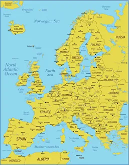
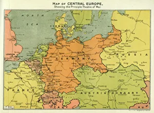
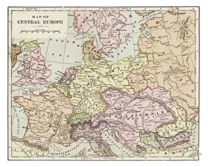
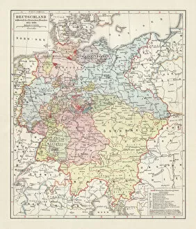
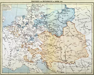
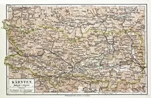
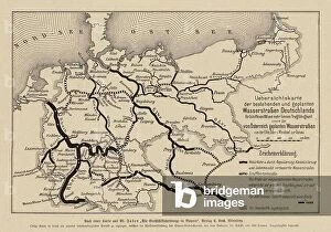
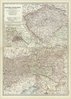
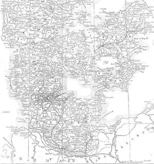
Austria is a landlocked country located in Central Europe and has a population of approximately 8.9 million people and covers an area of 83,879 square kilometers. The country is bordered by Germany to the northwest, Switzerland to the west, Italy to the south, Slovenia to the southeast, Hungary to the east and Slovakia to the northeast. Austria's capital city is Vienna which is also its largest city with a population of over 1.8 million people. The official language spoken is German and its currency is Euro (EUR). A diverse economy with industries such as tourism, manufacturing, agriculture and services contributing significantly to its GDP growth.
+
Our beautiful pictures are available as Framed Prints, Photos, Wall Art and Photo Gifts
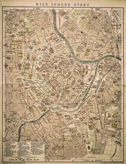
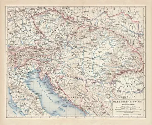
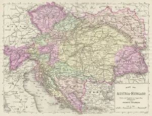
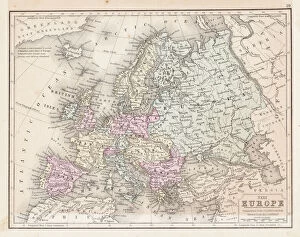
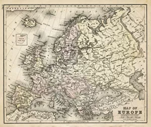
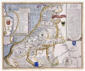
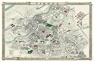
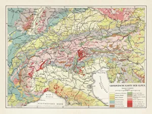
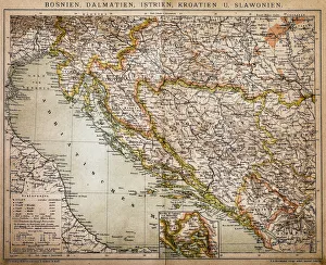
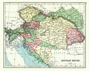
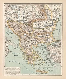
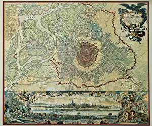
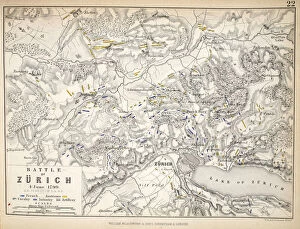
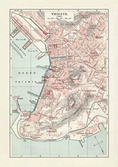
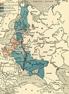
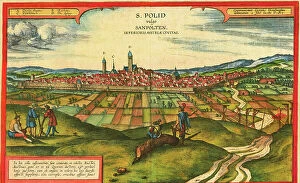
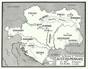
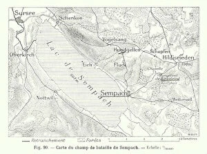
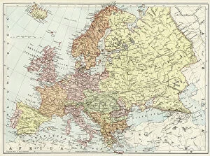
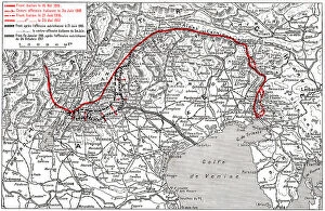
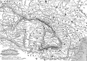
The Austria collection from Media Storehouse is a stunning array of wall art and framed prints that showcase the beauty of Austria. Our collection features an extensive range of maps, charts, and illustrations that depict various regions, cities, landmarks, and historical events in Austria. These artworks are perfect for those who love history or geography enthusiasts looking to add some unique pieces to their home decor. Our collection includes vintage maps dating back to the 18th century as well as contemporary designs that capture the modern-day landscape of Austria. Each piece is printed on high-quality paper using state-of-the-art printing technology to ensure vibrant colors and sharp details. Whether you're looking for a beautiful map of Vienna or an intricate chart detailing the topography of the Austrian Alps, our collection has something for everyone. With its wide variety of styles and sizes available at affordable prices, it's easy to find the perfect piece for your home or office space.
+
What are Austria (Maps and Charts) art prints?
Austria art prints are a collection of high-quality, visually stunning prints that showcase the beauty and intricacies of Austria's geography. These prints feature detailed maps and charts that depict various regions, cities, landmarks, and topographical features of Austria. They are perfect for anyone who loves to travel or has an interest in geography or history. These art prints are created using advanced printing techniques that ensure sharpness, clarity, and vivid colors. They come in a variety of sizes to suit different preferences and can be framed or mounted on walls as standalone pieces or part of a larger display. Whether you're looking to decorate your home with unique artwork or searching for a thoughtful gift for someone special, Austria art prints from Media Storehouse offer something truly exceptional. With their exquisite detail and captivating imagery, these prints are sure to impress anyone who sees them.
+
What Austria (Maps and Charts) art prints can I buy from Media Storehouse?
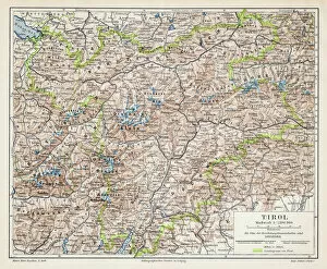
We offer a wide range of Austria maps and charts art prints that are perfect for decorating your home or office. You can choose from vintage maps, topographic maps, political maps, city plans, and more. These prints feature detailed illustrations of the country's geography, landmarks, cities, and regions. One popular option is the vintage map of Austria which showcases the country's borders during different time periods. Another great choice is the topographic map which displays elevations and landforms in stunning detail. The city plans provide an intricate view of major Austrian cities such as Vienna and Salzburg. These art prints are available in various sizes to fit any space you have in mind. They are printed on high-quality paper using advanced printing technology to ensure vibrant colors and sharp details that will last for years to come. Whether you're looking for a unique gift or want to add some character to your own space, we have something for everyone with our collection of Austria maps and charts art prints.
+
How do I buy Austria (Maps and Charts) art prints?
To purchase Austria art prints from Media Storehouse, you can browse our extensive collection of high-quality prints online. Simply search for the specific artwork or artist that you are interested in, and add it to your cart. You can choose from a variety of sizes and finishes to suit your needs. Once you have added all the items you want to buy, proceed to checkout where you will be prompted to enter your shipping address and payment details. We accept various forms of payment including credit cards, PayPal, and Apple Pay. After completing your order, Media Storehouse will process it promptly so that it is ready for shipment as soon as possible. Your artwork will arrive carefully packaged in protective materials to ensure its safe delivery. Whether you're looking for a beautiful piece of wall art or a unique gift for someone special, buying Austria art prints from Media Storehouse is easy and convenient.
+
How much do Austria (Maps and Charts) art prints cost?
We offer a wide range of Austria art prints at varying prices. Our collection includes high-quality reproductions of antique maps and charts that showcase the country's rich history and geography. The cost of these prints depends on various factors such as size, framing options, and printing techniques. We have an extensive selection of Austria map prints available in different sizes ranging from small to large formats suitable for any space or room decor. Our pricing is competitive, making it easy for you to find a print that fits your budget without compromising on quality. Our art prints are perfect for anyone who loves history or has an interest in cartography. They make great gifts too. So whether you're looking to decorate your home or office with beautiful artwork inspired by Austria's unique culture and heritage, we've got you covered with our affordable yet stunning collection of Maps and Charts art prints.
+
How will my Austria (Maps and Charts) art prints be delivered to me?
We take great care in delivering your Austria art prints to you. We use high-quality packaging materials to ensure that your print arrives in perfect condition. Your print will be carefully rolled and placed inside a sturdy cardboard tube for safe transportation. We work with trusted delivery partners who specialize in handling delicate artwork. Once your order is dispatched, you will receive an email confirmation with tracking information so that you can monitor the progress of your shipment. Our team takes pride in providing excellent customer service, so if there are any issues or concerns with your delivery, please do not hesitate to contact us. We want to make sure that you are completely satisfied with your purchase and experience shopping with us. We strive to deliver your Austria art prints quickly and securely so that they can be enjoyed for years to come.