Home > Europe > United Kingdom > England > Berkshire > Easton
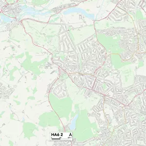
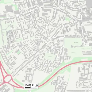
West Berkshire RG20 9 Map

![]()
Wall Art and Photo Gifts from Map Marketing
West Berkshire RG20 9 Map
Postcode Sector Map of West Berkshire RG20 9
Media ID 19981042
Church Lane Church Road Coronation Close Cross Lane Four Oaks Greenacres Greenlands Greenways Harts Lane Heathlands Laurel Bank Limes Avenue Limetree Avenue Longmead Meadowbrook Mount Close Mount Road Newtown Ox Drove Pinewood Drive Pound Lane Pound Street Red Hill Rutherford Close Sheepwash Lane Spring Lane Star Lane Station Road Well Street West Berkshire West Street White Hill Woodlands Highclere Hollington Tothill Wheelwrights
FEATURES IN THESE COLLECTIONS
> Animals
> Mammals
> Bovidae
> Ox
> Animals
> Mammals
> Dogs (Wild)
> Red Fox
> Animals
> Mammals
> Muridae
> House Mouse
> Arts
> Portraits
> Pop art gallery
> Street art portraits
> Europe
> United Kingdom
> England
> Berkshire
> Easton
> Europe
> United Kingdom
> England
> Berkshire
> The Mount
> Europe
> United Kingdom
> England
> Berkshire
> Related Images
> Europe
> United Kingdom
> England
> Berkshire
> The Rise
> Europe
> United Kingdom
> England
> Berkshire
> West End
> Map Marketing
> Postcode Sector Maps
> RG - Reading
MADE IN THE UK
Safe Shipping with 30 Day Money Back Guarantee
FREE PERSONALISATION*
We are proud to offer a range of customisation features including Personalised Captions, Color Filters and Picture Zoom Tools
SECURE PAYMENTS
We happily accept a wide range of payment options so you can pay for the things you need in the way that is most convenient for you
* Options may vary by product and licensing agreement. Zoomed Pictures can be adjusted in the Basket.