Home > Animals > Birds > Gruiformes > Rallidae > Red Rail
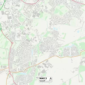
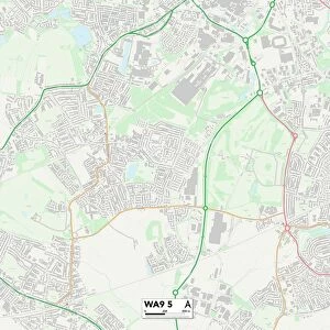
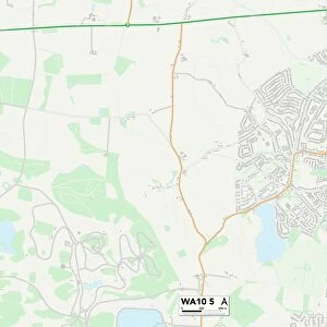
St. Helens WA11 7 Map

![]()
Wall Art and Photo Gifts from Map Marketing
St. Helens WA11 7 Map
Postcode Sector Map of St. Helens WA11 7
Media ID 19979832
Alder Lane Bowness Avenue Broad Lane Buttermere Avenue Chapel View Cherry Tree Lane Club Street Coach Road Coniston Way Deepdale Avenue East Lancashire Road Ennerdale Avenue Eskdale Avenue Fairfield Gardens Hawes Avenue Helens Highfield Drive Hilltop Road Inglewood Road Kendal Close Kendal Drive Kentmere Avenue Kingsway Kirkstone Avenue Lodge Lane Longwood Close Manor House Close Mardale Avenue Martindale Road Moss Bank Moss Lane Oakwood Gardens Ormskirk Road Park Hill Princes Way Queensway Reeds Lane Sandy Lane St Helens Road Thirlmere Avenue Ullswater Avenue Victoria Avenue Windermere Avenue Windermere Drive Woodside Avenue
FEATURES IN THESE COLLECTIONS
> Animals
> Birds
> Gruiformes
> Rallidae
> Red Rail
> Animals
> Mammals
> Muridae
> House Mouse
> Arts
> Portraits
> Pop art gallery
> Street art portraits
> Europe
> United Kingdom
> England
> Lancashire
> Banks
> Europe
> United Kingdom
> England
> Lancashire
> Chapel House
> Europe
> United Kingdom
> England
> Lancashire
> Cherry Tree
> Europe
> United Kingdom
> England
> Lancashire
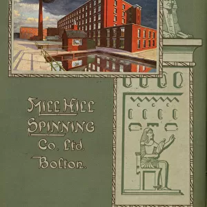
> Mill Hill
> Europe
> United Kingdom
> England
> Lancashire
> Ormskirk
> Europe
> United Kingdom
> England
> Lancashire
> Related Images
> Europe
> United Kingdom
> England
> Lancashire
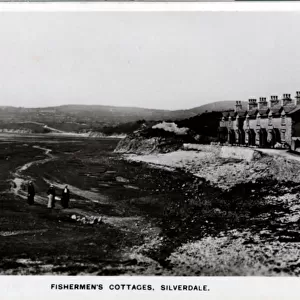
> Silverdale
> Map Marketing
> Postcode Sector Maps
> WA - Warrington
MADE IN THE UK
Safe Shipping with 30 Day Money Back Guarantee
FREE PERSONALISATION*
We are proud to offer a range of customisation features including Personalised Captions, Color Filters and Picture Zoom Tools
SECURE PAYMENTS
We happily accept a wide range of payment options so you can pay for the things you need in the way that is most convenient for you
* Options may vary by product and licensing agreement. Zoomed Pictures can be adjusted in the Basket.