Home > Europe > United Kingdom > England > London > Boroughs > Harrow
Sutton SM5 3 Map

![]()
Wall Art and Photo Gifts from Map Marketing
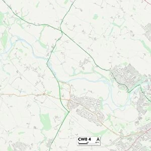
Sutton SM5 3 Map
Postcode Sector Map of Sutton SM5 3
Media ID 19981620
Ashcombe Road Balfour Road Bankside Close Beeches Avenue Bernard Road Boundary Road Brookside Cambridge Road Cedar Close Central Way Church Hill Downside Road Fairview Road Fir Tree Grove Glebe Road Gordon Road Grosvenor Avenue Harrow Road Hawthorn Road High Street Hill Road Lavender Road North Avenue Northwood Road Oxford Road Park Avenue Park Close Park Hill Park Lane Park View Close Parker Close Parkgate Road Pound Street Repton Close Rotherfield Road Ruskin Road Salisbury Road Seymour Road Staplehurst Road Sussex Road Sutton Talbot Road The Avenue The Park The Square Wallace Crescent Walnut Close Wilmot Road Woodfield Avenue Woodstock Road Carshalton
FEATURES IN THESE COLLECTIONS
> Arts
> Artists
> P
> Gordon Parks
> Arts
> Portraits
> Pop art gallery
> Street art portraits
> Europe
> United Kingdom
> England
> London
> Boroughs
> Harrow
> Europe
> United Kingdom
> England
> Sussex
> Related Images
> Europe
> United Kingdom
> England
> Sussex
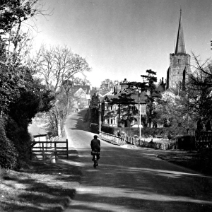
> Rotherfield
> Europe
> United Kingdom
> England
> Sussex
> Sutton
> Europe
> United Kingdom
> England
> Sussex
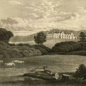
> Warnham
> Europe
> United Kingdom
> Wales
> Anglesey
> Related Images
> Europe
> United Kingdom
> Wales
> Maps
> Europe
> United Kingdom
> Wales
> Posters
> Map Marketing
> Postcode Sector Maps
> SM - Sutton
MADE IN THE UK
Safe Shipping with 30 Day Money Back Guarantee
FREE PERSONALISATION*
We are proud to offer a range of customisation features including Personalised Captions, Color Filters and Picture Zoom Tools
SECURE PAYMENTS
We happily accept a wide range of payment options so you can pay for the things you need in the way that is most convenient for you
* Options may vary by product and licensing agreement. Zoomed Pictures can be adjusted in the Basket.