Home > Europe > United Kingdom > England > London > Boroughs > Redbridge
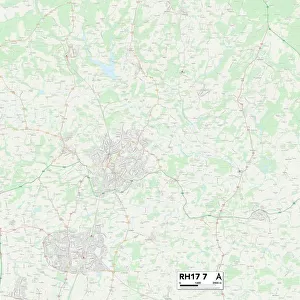
Mid Sussex RH17 6 Map

![]()
Wall Art and Photo Gifts from Map Marketing
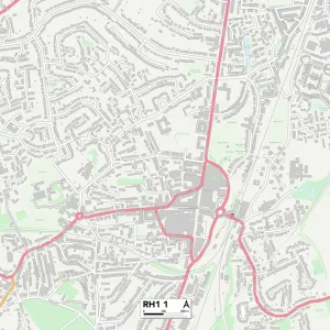
Mid Sussex RH17 6 Map
Postcode Sector Map of Mid Sussex RH17 6
Media ID 19979586
Barn Meadow Berry Lane Boundary Road Brighton Road Cherry Lane Church Lane College Close College Road Fairfield Close Glebe View High Street Horsham Road Lindfield Road Little London London Road Long Lane Mid Sussex Mill Lane Newlands Nursery Lane Oaklands Park Road Rocks Lane Stoney Lane Street Lane The Close The Nurseries Thompson Way Victoria Road Water Lane Watermead West Hill West Park Road Balcombe Buckingham Gate Handcross Slaugham
FEATURES IN THESE COLLECTIONS
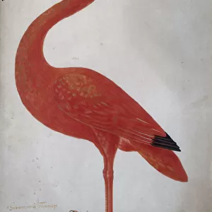
> Animals
> Birds
> Ibises
> Related Images
> Animals
> Birds
> Passerines
> Finches
> Brambling
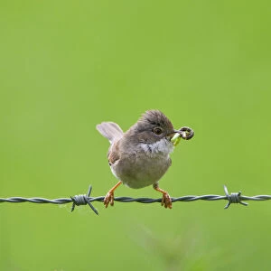
> Animals
> Birds
> Passerines
> Old World Warblers
> Whitethroat
> Animals
> Mammals
> Muridae
> Heath Mouse
> Animals
> Mammals
> Muridae
> Water Mouse
> Arts
> Portraits
> Pop art gallery
> Street art portraits
> Europe
> United Kingdom
> England
> London
> Boroughs
> Redbridge
> Europe
> United Kingdom
> England
> London
> Related Images
> Europe
> United Kingdom
> England
> London
> Sights
> Victoria Park
> Europe
> United Kingdom
> England
> London
> Towns
> Church End
> Map Marketing
> Postcode Sector Maps
> RH - Redhill
MADE IN THE UK
Safe Shipping with 30 Day Money Back Guarantee
FREE PERSONALISATION*
We are proud to offer a range of customisation features including Personalised Captions, Color Filters and Picture Zoom Tools
SECURE PAYMENTS
We happily accept a wide range of payment options so you can pay for the things you need in the way that is most convenient for you
* Options may vary by product and licensing agreement. Zoomed Pictures can be adjusted in the Basket.