Home > Europe > United Kingdom > England > London > Boroughs > Kingston upon Thames
Kingston upon Thames KT5 9 Map

![]()
Wall Art and Photo Gifts from Map Marketing
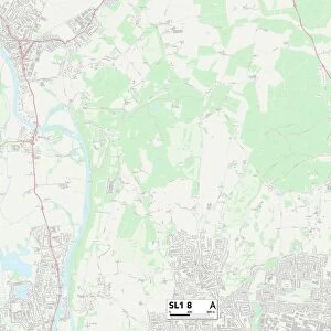
Kingston upon Thames KT5 9 Map
Postcode Sector Map of Kingston upon Thames KT5 9
Media ID 19972756
Alexandra Drive Beaconsfield Road Beresford Avenue Berrylands Broomfield Road Collingwood Avenue Derby Road Elgar Avenue Elm Close Fairmead Gordon Road Grand Avenue Greenfield Avenue Grenville Close Hazelbank Highfield Road Kingston Upon Thames Lansdowne Close Lyndhurst Avenue Meadway Northcote Avenue Norton Avenue Parkside Crescent Raeburn Avenue Raleigh Drive Sandhurst Avenue Southwood Drive Vincent Avenue Waverley Avenue Woodland Way Woodside Close Tolworth
FEATURES IN THESE COLLECTIONS
> Europe
> United Kingdom
> England
> London
> Boroughs
> Kingston upon Thames
> Europe
> United Kingdom
> Scotland
> Stirlingshire
> Stirling
> Map Marketing
> Postcode Sector Maps
> KT - Kingston upon Thames
> Maps and Charts
> Related Images
MADE IN THE UK
Safe Shipping with 30 Day Money Back Guarantee
FREE PERSONALISATION*
We are proud to offer a range of customisation features including Personalised Captions, Color Filters and Picture Zoom Tools
SECURE PAYMENTS
We happily accept a wide range of payment options so you can pay for the things you need in the way that is most convenient for you
* Options may vary by product and licensing agreement. Zoomed Pictures can be adjusted in the Basket.