Home > Europe > United Kingdom > England > London > Boroughs > Hounslow
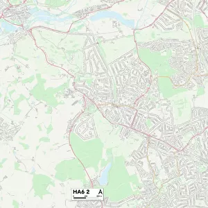
Hounslow TW5 9 Map

![]()
Wall Art and Photo Gifts from Map Marketing
Hounslow TW5 9 Map
Postcode Sector Map of Hounslow TW5 9
Media ID 19980078
Adelaide Road Ash Grove Avenue Close Avenue Gardens Beaufort Gardens Beechcroft Close Berkeley Avenue Blackthorn Court Brabazon Road Broad Walk Brunel Close Burns Way Church Road Cobham Road Fairmead Close Firs Drive Hawthorn Close High Street Hounslow Johnson Road Mornington Crescent Norman Crescent Northfield Road Oak Avenue Phoenix Way Pine Tree Close Queens Gardens Quinton Close Royston Close Sandown Close Sandringham Gardens Shelley Crescent Spitfire Way Springwell Road The Avenue The Vale Victoria Gardens Victory Way Whittle Road
FEATURES IN THESE COLLECTIONS
> Arts
> Portraits
> Pop art gallery
> Street art portraits
> Europe
> United Kingdom
> England
> London
> Boroughs
> Hounslow
> Europe
> United Kingdom
> England
> Somerset
> Ash
> Europe
> United Kingdom
> England
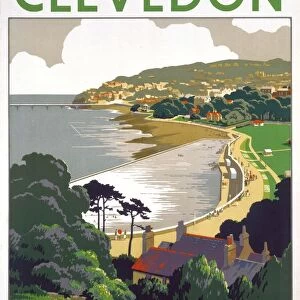
> Somerset
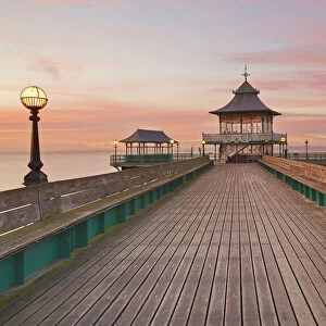
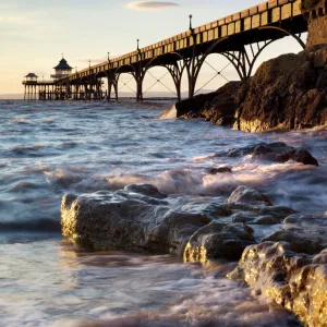
> Clevedon
> Europe
> United Kingdom
> England
> Somerset
> Cole
> Europe
> United Kingdom
> England
> Somerset
> Related Images
> Europe
> United Kingdom
> England
> Somerset
> Street
> Europe
> United Kingdom
> Wales
> Gwynedd
> Harlech
> Map Marketing
> Postcode Sector Maps
> TW - Twickenham
> Maps and Charts
> Related Images
> Popular Themes
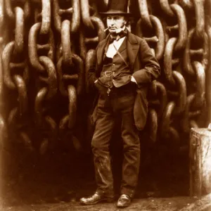
> Brunel
MADE IN THE UK
Safe Shipping with 30 Day Money Back Guarantee
FREE PERSONALISATION*
We are proud to offer a range of customisation features including Personalised Captions, Color Filters and Picture Zoom Tools
SECURE PAYMENTS
We happily accept a wide range of payment options so you can pay for the things you need in the way that is most convenient for you
* Options may vary by product and licensing agreement. Zoomed Pictures can be adjusted in the Basket.