Home > Europe > United Kingdom > England > London > Boroughs > Havering
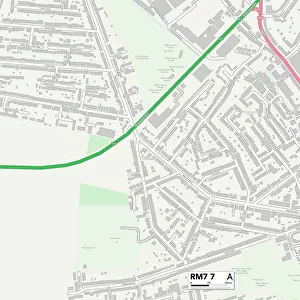
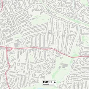
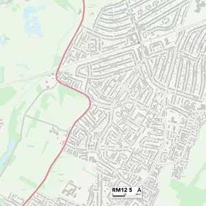
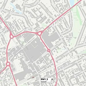
Havering RM12 6 Map

![]()
Wall Art and Photo Gifts from Map Marketing
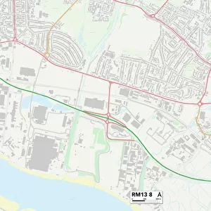
Havering RM12 6 Map
Postcode Sector Map of Havering RM12 6
Media ID 19979570
Alma Avenue Ascot Gardens Berry Close Canberra Close Central Drive Christopher Close Cumberland Avenue Cumberland Close Epsom Way Florence Close Franklin Road Goodwood Avenue Hatfield Close Havering Haydock Close Highfield Road Hilary Close Inglewood Close Kempton Avenue Kent Drive Kirton Close Laurel Lane Rye Close Scotts Close Siskin Close Springbank Avenue Station Lane Vaughan Avenue Webster Close Wendover Way
FEATURES IN THESE COLLECTIONS
> Europe
> United Kingdom
> England
> Cumberland
> Europe
> United Kingdom
> England
> Kent
> Bridge
> Europe
> United Kingdom
> England
> Kent
> Grove
> Europe
> United Kingdom
> England
> Kent
> Sarre
> Europe
> United Kingdom
> England
> Kent
> Sutton
> Europe
> United Kingdom
> England
> London
> Boroughs
> Havering
> Europe
> United Kingdom
> Wales
> Monmouthshire
> Chepstow
> Map Marketing
> Postcode Sector Maps
> RM - Romford
> Maps and Charts
> Related Images
MADE IN THE UK
Safe Shipping with 30 Day Money Back Guarantee
FREE PERSONALISATION*
We are proud to offer a range of customisation features including Personalised Captions, Color Filters and Picture Zoom Tools
SECURE PAYMENTS
We happily accept a wide range of payment options so you can pay for the things you need in the way that is most convenient for you
* Options may vary by product and licensing agreement. Zoomed Pictures can be adjusted in the Basket.