Home > Europe > United Kingdom > England > London > Sights > Victoria Park
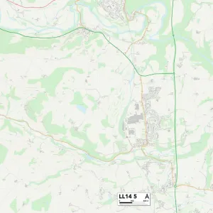
Conwy LL29 7 Map

![]()
Wall Art and Photo Gifts from Map Marketing
Conwy LL29 7 Map
Postcode Sector Map of Conwy LL29 7
Media ID 19973358
Alexandra Road Brackley Avenue Conwy Douglas Road Dundonald Road Grange Road Gregory Avenue Gregory Close Grosvenor Road Grove Park Highfield Road Hillside Road Kings Crescent Kings Drive Kings Road Lansdowne Road Oak Drive Oakwood Park Road Queens Avenue Queens Drive Queens Park Rosemary Avenue Russell Avenue Seafield Road St Pauls Close The Close Upland Road Victor Road Victoria Park Woodfield Avenue Woodhill Road Woodland Park York Road
FEATURES IN THESE COLLECTIONS
> Europe
> United Kingdom
> England
> London
> Sights
> Victoria Park
> Europe
> United Kingdom
> Northern Ireland
> County Down
> Dundonald
> Europe
> United Kingdom
> Wales
> Conwy
> Conwy
> Europe
> United Kingdom
> Wales
> Gwynedd
> Conwy
> Map Marketing
> Postcode Sector Maps
> LL - Llandudno
> Maps and Charts
> Related Images
MADE IN THE UK
Safe Shipping with 30 Day Money Back Guarantee
FREE PERSONALISATION*
We are proud to offer a range of customisation features including Personalised Captions, Color Filters and Picture Zoom Tools
SECURE PAYMENTS
We happily accept a wide range of payment options so you can pay for the things you need in the way that is most convenient for you
* Options may vary by product and licensing agreement. Zoomed Pictures can be adjusted in the Basket.