Home > North America > United States of America > New York > New York > Maps
Brooklyn, Vol. 6, Double Page Plate No. 4;Part of Wards 30 & 31, Section 17;Map

![]()
Wall Art and Photo Gifts from Liszt Collection
Brooklyn, Vol. 6, Double Page Plate No. 4;Part of Wards 30 & 31, Section 17;Map
Brooklyn, Vol. 6, Double Page Plate No. 4; Part of Wards 30 & 31, Section 17; Map bounded by Gravesend Ave. 53rd St.; Including 18th Ave.; Sub Plan; Map bounded by Ocean Parkway, Avenue L, Avenue M, West St.; Including 58th St. Avenue K
Liszt Collection of nineteenth-century engravings and images to browse and enjoy
Media ID 12673505
© Quint Lox Limited
Brooklyn Cartographic Double Page Historic Map Map Bounded By Ocean Parkway Plate No 4 Sub Plan Vintage Map Vol 6 Old Map
FEATURES IN THESE COLLECTIONS
> North America
> United States of America
> Maps
> North America
> United States of America
> New York
> New York
> Brooklyn
> Related Images
> North America
> United States of America
> New York
> New York
> Maps
EDITORS COMMENTS
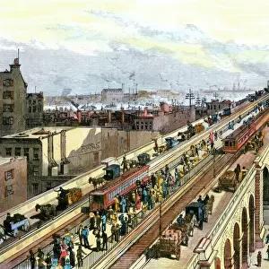
This vintage map print titled "Brooklyn, Vol. 6, Double Page Plate No. 4; Part of Wards 30 & 31, Section 17" takes us on a journey through the historic streets of Brooklyn in New York City. The intricate cartographic details showcase the rich geography and layout of this bustling borough. The map encompasses various areas including Gravesend Avenue, 53rd Street, and even extends to include Ocean Parkway and West Street. It provides a comprehensive view of the neighborhoods within Wards 30 and 31, offering insights into their development over time. As we delve into this piece from the Liszt Collection, we are transported back in time to an era when these streets were filled with horse-drawn carriages and pedestrians going about their daily lives. The old-world charm emanating from this vintage map evokes a sense of nostalgia for a bygone era. With its faded hues and delicate lines, this print serves as both a historical artifact and a work of art. It invites us to explore the past while appreciating the craftsmanship involved in creating such detailed maps before modern technology took over. Whether you're an avid collector or simply fascinated by Brooklyn's history, this piece offers a glimpse into the city's past that is sure to spark curiosity and ignite conversations about its ever-evolving landscape.
MADE IN THE UK
Safe Shipping with 30 Day Money Back Guarantee
FREE PERSONALISATION*
We are proud to offer a range of customisation features including Personalised Captions, Color Filters and Picture Zoom Tools
SECURE PAYMENTS
We happily accept a wide range of payment options so you can pay for the things you need in the way that is most convenient for you
* Options may vary by product and licensing agreement. Zoomed Pictures can be adjusted in the Basket.