Home > Europe > Finland > Maps
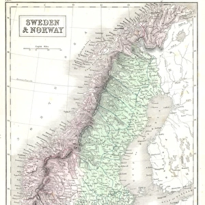
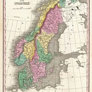
1850, Mitchell Map of Scandinavia, Norway, Sweden, Denmark, Finland, topography, cartography

![]()
Wall Art and Photo Gifts from Liszt Collection
1850, Mitchell Map of Scandinavia, Norway, Sweden, Denmark, Finland, topography, cartography
1850, Mitchell Map of Scandinavia, Norway, Sweden, Denmark, Finland
Liszt Collection of nineteenth-century engravings and images to browse and enjoy
Media ID 14005173
© Artokoloro Quint Lox Limited
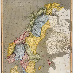
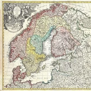
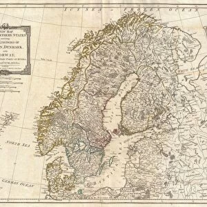
1850 Denmark Finland Norway Sweden Antique Map Atlas Chart Geographic Latitude Longitude Mappa Mundi Old Antique Plan Old Antique View Old Map Ols Antique Map Rare Old Maps Topo
FEATURES IN THESE COLLECTIONS
> Maps and Charts
> Early Maps
> Maps and Charts
> World
EDITORS COMMENTS
This print showcases the exquisite 1850 Mitchell Map of Scandinavia, a true masterpiece in the realm of cartography. The map beautifully depicts the enchanting lands of Norway, Sweden, Denmark, and Finland with remarkable attention to detail. Its topography is intricately illustrated, allowing viewers to immerse themselves in the diverse landscapes that define this northern region. The Mitchell Map not only serves as a geographical guide but also offers a glimpse into history. With its vintage allure and ancient charm, it transports us back to an era when exploration and discovery were at their peak. This rare artifact takes us on a journey through time, reminding us of our ancestors' quest for knowledge about the world they inhabited. As we examine this meticulously crafted piece of artistry, we can't help but appreciate its decorative elements and artistic finesse. The delicate lines forming latitude and longitude grids create a geometric harmony that adds elegance to its overall composition. Whether you are an avid traveler or simply fascinated by historical artifacts, this Mitchell Map print from Liszt Collection is sure to captivate your imagination. It invites you to explore new horizons while celebrating the rich heritage embedded within these old antique maps. Let yourself be transported across space and time as you delve into the intricate details that make up this extraordinary representation of Scandinavia's geography
MADE IN THE UK
Safe Shipping with 30 Day Money Back Guarantee
FREE PERSONALISATION*
We are proud to offer a range of customisation features including Personalised Captions, Color Filters and Picture Zoom Tools
SECURE PAYMENTS
We happily accept a wide range of payment options so you can pay for the things you need in the way that is most convenient for you
* Options may vary by product and licensing agreement. Zoomed Pictures can be adjusted in the Basket.