
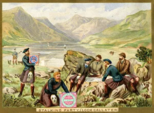
World Wide Collection
"Exploring the World: From Ancient Maps to Modern Discoveries" Step into a journey through time and space as we unravel the wonders of our world


All Professionally Made to Order for Quick Shipping
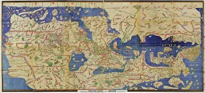
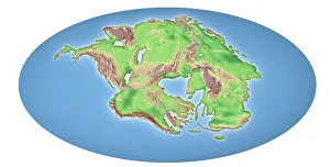
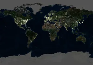
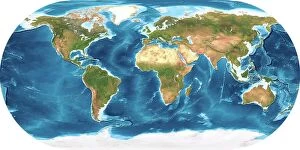
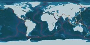
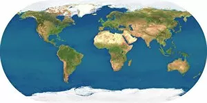
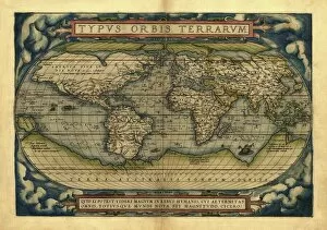
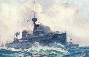
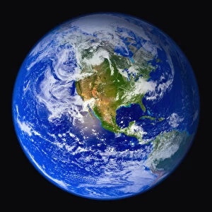
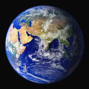
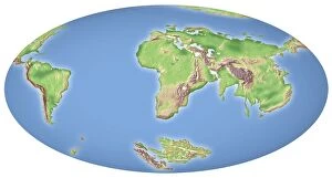
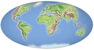
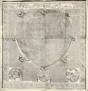
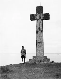
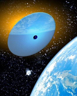
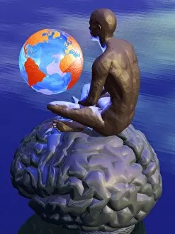
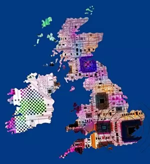
"Exploring the World: From Ancient Maps to Modern Discoveries" Step into a journey through time and space as we unravel the wonders of our world. Al-Idrisi's world map from 1154 takes us back to an era where cartography was in its infancy, showcasing the knowledge and curiosity of early explorers. Fast forward 250 million years, and witness continental drift shaping our planet's landscape, reminding us of Earth's ever-changing nature. As night falls, marvel at the breathtaking sight of our whole planet illuminated by city lights in a satellite image - a testament to human progress and interconnectedness. Oronce Fine's intricate world map from 1531 captures the spirit of Renaissance exploration, fueling dreams of distant lands waiting to be discovered. Dive beneath Earth's surface with topographic and bathymetric maps that reveal hidden depths and towering mountains alike. Explore the puzzle pieces that form our continents - tectonic plates shifting over millions of years have shaped Earth as we know it today. Transport yourself to Rue Du Bac with Vision - a glimpse into an artist's perspective on our global community. Witness humanity thriving amidst diversity, united under one sky. From high above, another satellite image showcases our entire planet in all its splendor; reminding us that borders are merely lines drawn by humans while nature knows no boundaries. Orteliuss' masterpiece from 1570 invites you to embark on an imaginary voyage across uncharted territories. Finally, behold the power unleashed by mankind with Dreadnought at Speed - a symbol of technological advancement propelling us further into unexplored realms. In this captivating collection spanning centuries, "World Wide" encapsulates not only geographical discoveries but also humanity's insatiable thirst for knowledge and connection across time and space.