Fraud Blocker Skip to main content

Welland Road Collection

Welland Road is a picturesque and diverse road that stretches across various regions in the UK

Background imageWelland Road Collection: Redcar & Cleveland TS10 1 Map

Redcar & Cleveland TS10 1 Map
Postcode Sector Map of Redcar & Cleveland TS10 1

Background imageWelland Road Collection: Cheshire East SK9 3 Map

Cheshire East SK9 3 Map
Postcode Sector Map of Cheshire East SK9 3

Background imageWelland Road Collection: Tonbridge and Malling TN10 3 Map

Tonbridge and Malling TN10 3 Map
Postcode Sector Map of Tonbridge and Malling TN10 3

Background imageWelland Road Collection: East Dorset BH21 2 Map

East Dorset BH21 2 Map
Postcode Sector Map of East Dorset BH21 2

Background imageWelland Road Collection: Worcester WR8 0 Map

Worcester WR8 0 Map
Postcode Sector Map of Worcester WR8 0

Background imageWelland Road Collection: Spelthorne TW19 6 Map

Spelthorne TW19 6 Map
Postcode Sector Map of Spelthorne TW19 6

Background imageWelland Road Collection: Wigan WN4 8 Map

Wigan WN4 8 Map
Postcode Sector Map of Wigan WN4 8

Background imageWelland Road Collection: Hartlepool TS25 2 Map

Hartlepool TS25 2 Map
Postcode Sector Map of Hartlepool TS25 2

Background imageWelland Road Collection: South Holland PE11 2 Map

South Holland PE11 2 Map
Postcode Sector Map of South Holland PE11 2

Background imageWelland Road Collection: East Northamptonshire PE8 6 Map

East Northamptonshire PE8 6 Map
Postcode Sector Map of East Northamptonshire PE8 6

Background imageWelland Road Collection: Boston PE21 7 Map

Boston PE21 7 Map
Postcode Sector Map of Boston PE21 7

Background imageWelland Road Collection: Kettering NN16 9 Map

Kettering NN16 9 Map
Postcode Sector Map of Kettering NN16 9

Background imageWelland Road Collection: Oldham OL2 7 Map

Oldham OL2 7 Map
Postcode Sector Map of Oldham OL2 7

Background imageWelland Road Collection: Peterborough PE1 3 Map

Peterborough PE1 3 Map
Postcode Sector Map of Peterborough PE1 3

Background imageWelland Road Collection: Charnwood LE12 8 Map

Charnwood LE12 8 Map
Postcode Sector Map of Charnwood LE12 8

Background imageWelland Road Collection: Rutland LE15 8 Map

Rutland LE15 8 Map
Postcode Sector Map of Rutland LE15 8

Background imageWelland Road Collection: West Lindsey LN1 3 Map

West Lindsey LN1 3 Map
Postcode Sector Map of West Lindsey LN1 3

Background imageWelland Road Collection: Aylesbury Vale HP21 9 Map

Aylesbury Vale HP21 9 Map
Postcode Sector Map of Aylesbury Vale HP21 9

Background imageWelland Road Collection: Kingston upon Hull HU8 9 Map

Kingston upon Hull HU8 9 Map
Postcode Sector Map of Kingston upon Hull HU8 9

Background imageWelland Road Collection: Gloucester GL2 4 Map

Gloucester GL2 4 Map
Postcode Sector Map of Gloucester GL2 4

Background imageWelland Road Collection: South Derbyshire DE65 5 Map

South Derbyshire DE65 5 Map
Postcode Sector Map of South Derbyshire DE65 5

Background imageWelland Road Collection: Wirral CH63 2 Map

Wirral CH63 2 Map
Postcode Sector Map of Wirral CH63 2

Background imageWelland Road Collection: Coventry CV1 2 Map

Coventry CV1 2 Map
Postcode Sector Map of Coventry CV1 2

Background imageWelland Road Collection: Bath and North East Somerset BS31 1 Map

Bath and North East Somerset BS31 1 Map
Postcode Sector Map of Bath and North East Somerset BS31 1

Background imageWelland Road Collection: Maldon CM0 8 Map

Maldon CM0 8 Map
Postcode Sector Map of Maldon CM0 8

Background imageWelland Road Collection: Worthing BN13 3 Map

Worthing BN13 3 Map
Postcode Sector Map of Worthing BN13 3

Background imageWelland Road Collection: Dudley B63 4 Map

Dudley B63 4 Map
Postcode Sector Map of Dudley B63 4

Background imageWelland Road Collection: BA Bath, BA21 5

BA Bath, BA21 5
BA21 5


All Professionally Made to Order for Quick Shipping

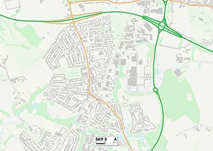
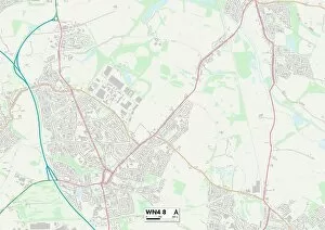
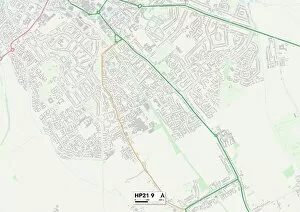
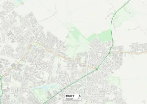
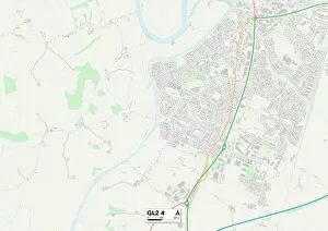
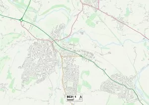
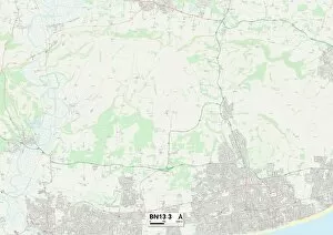
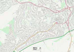
Welland Road is a picturesque and diverse road that stretches across various regions in the UK. From Cheshire East to East Dorset, Redcar & Cleveland to Worcester, this road connects different communities and landscapes. Starting in Cheshire East, Welland Road meanders through beautiful countryside, offering stunning views of rolling hills and charming villages. The map reveals its strategic location within this region, providing easy access for locals and visitors alike. Continuing southwards into East Dorset, Welland Road takes you on a journey through lush greenery and tranquil surroundings. With the map as your guide, explore hidden gems tucked away along this scenic route – from quaint country pubs to idyllic picnic spots. As you venture further east towards Redcar & Cleveland, Welland Road unveils a coastal charm with its proximity to the sea. Take a detour from the main road indicated on the map and discover sandy beaches where you can soak up the sun or enjoy invigorating walks along the shoreline. Heading westwards towards Worcester, Welland Road showcases its versatility by passing through both urban areas and rural landscapes. The map highlights convenient connections to nearby towns and cities while still allowing residents to embrace nature's beauty just moments away. Travelling southeast into Spelthorne brings an air of sophistication as Welland Road intersects with elegant neighborhoods filled with stylish homes. Follow the map's guidance to explore local boutiques or indulge in fine dining experiences that reflect this area's refined character. Further north lies Wigan - a vibrant town known for its sporting heritage. As Welland Road cuts through Wigan according to the provided map coordinates, immerse yourself in lively markets or catch an exhilarating match at one of their renowned sports venues. Tonbridge and Malling welcome travelers with open arms as they traverse along Welland Road according to TN10 3 Map coordinates. This district offers historical sites such as Tonbridge Castle alongside modern amenities showcased on the map, ensuring a delightful blend of old and new.