
Villiers Street Collection
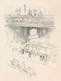
Step back in time to the bustling corner of Villiers Street, Charing Cross in 1896, as captured by artist Joseph Pennell


All Professionally Made to Order for Quick Shipping
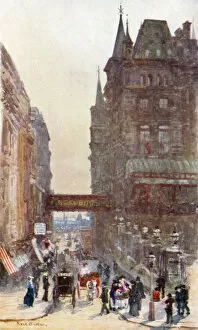
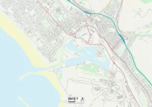
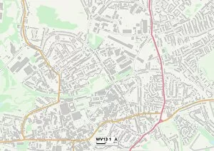
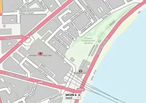
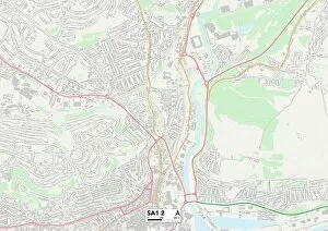
Step back in time to the bustling corner of Villiers Street, Charing Cross in 1896, as captured by artist Joseph Pennell. This vibrant street was a hub of activity, connecting various towns and cities like Sunderland SR1 1, East Hertfordshire SG13 7, Neath Port Talbot SA13 1 and more through its strategic location. As night falls over London, the view from Villiers Street becomes even more enchanting. A black and white photograph captures the city's charm under the moonlight. The nearby Charing-Cross Railway engraving showcases the importance of this street as a vital transportation link. Charing Cross Station stands proudly at one end with its temporary entrance depicted in an engraving. It served as a gateway for travelers coming from Wolverhampton WV13 1, Westminster WC2N 6, Swansea SA1 2 and Tameside SK14 2 among other places. Villiers Street itself exudes character with its unique architecture and lively atmosphere. Passersby would have been greeted by shops, cafes, and perhaps even street performers entertaining crowds. Today, while much has changed since Pennell's depiction over a century ago, Villiers Street still retains its historical significance within London's landscape. Whether you're exploring charming corners or embarking on new adventures beyond its borders; this iconic street continues to be a symbol of connection between different parts of England.