
Urbanization Collection
From Sheffield to Vancouver, Europe to Hong Kong, urbanization paints a mesmerizing tapestry of human progress and development


All Professionally Made to Order for Quick Shipping
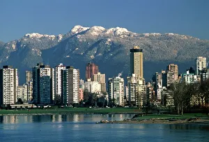
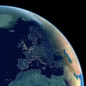
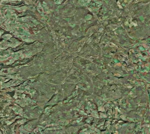
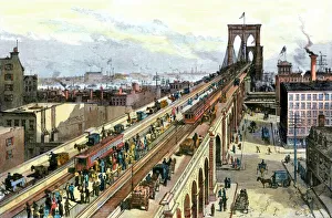
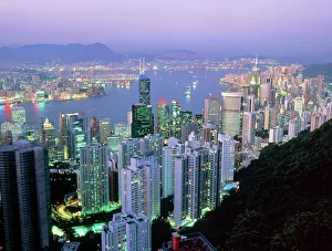
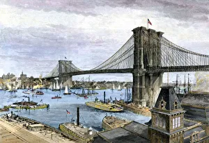
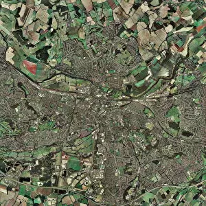
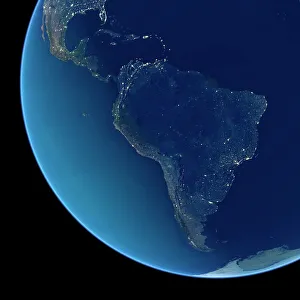
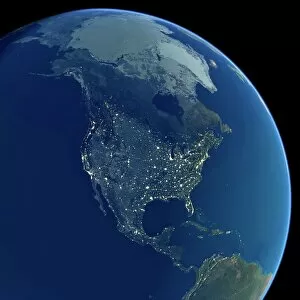
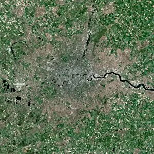
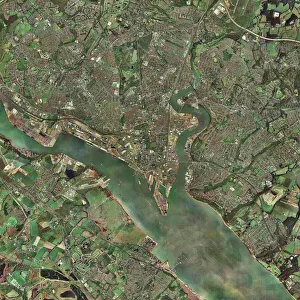
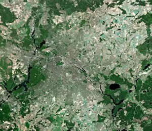
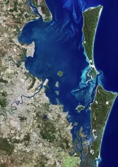
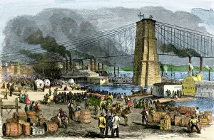
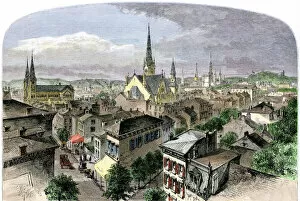
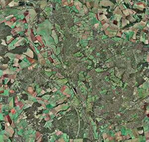
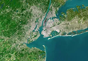
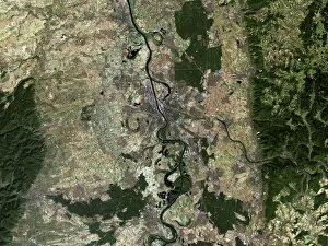
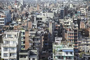
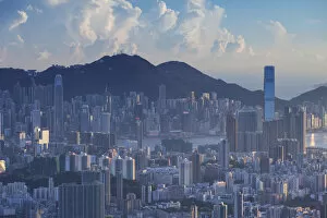
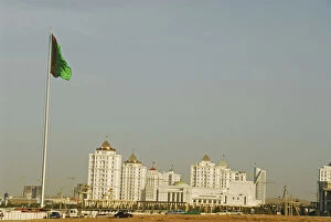
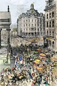
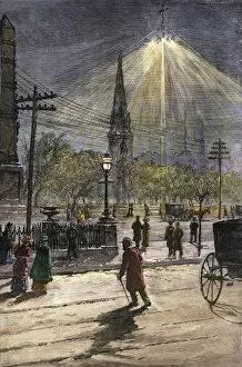
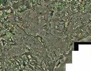
From Sheffield to Vancouver, Europe to Hong Kong, urbanization paints a mesmerizing tapestry of human progress and development. Aerial images capture the sprawling cityscape of Sheffield, UK, where towering buildings intertwine with green spaces. In Vancouver, Canada, a breathtaking view showcases the harmonious blend of modern architecture against nature's backdrop. The satellite image of Europe at night illuminates the continent like a constellation of bustling cities that never sleep. As dawn breaks over Hong Kong, its iconic skyline emerges from darkness in all its glory - a testament to rapid urban growth and economic prowess. Transporting us back in time, we witness the grandeur of Brooklyn Bridge when it first opened in 1883; an engineering marvel connecting New York City boroughs and symbolizing progress. Satellite images reveal India at night as millions of lights twinkle across vast landscapes - evidence of its thriving metropolises coexisting with ancient traditions. The old town of Modica Italy offers a glimpse into history through narrow streets and charming architecture that have stood the test of time. Returning to Brooklyn Bridge during its inaugural year brings alive the energy and excitement surrounding this vital link between Manhattan and Brooklyn. South America shines brightly under satellite observation as vibrant cities light up the night sky like constellations on another hemisphere. London's satellite image captures its majestic beauty; centuries-old landmarks blending seamlessly with contemporary skyscrapers embodying urban transformation. Reading and Southampton in the UK showcase aerial photographs revealing their unique charm amidst urban expansion. An ever-evolving phenomenon shaping our world – bridging cultures, transforming skylines, fostering innovation while preserving heritage. These glimpses into different corners around the globe remind us that despite our geographical distances or cultural diversity, we are united by our shared pursuit for progress.