
Trade Collection
"Exploring the Rich Tapestry of Trade: From Naive Haitian Paintings to Hand-painted Didgeridoos" Trade has been an integral part of human civilization


All Professionally Made to Order for Quick Shipping
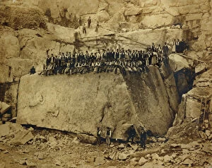
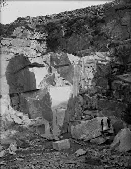
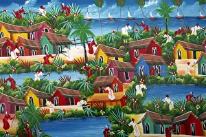
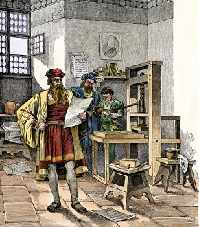
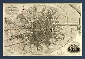
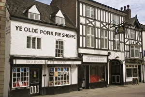
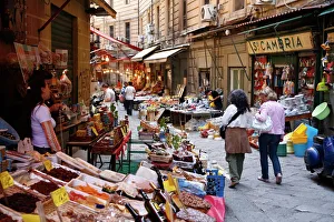
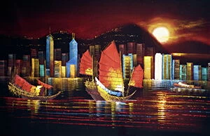
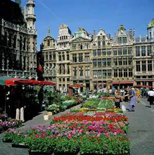
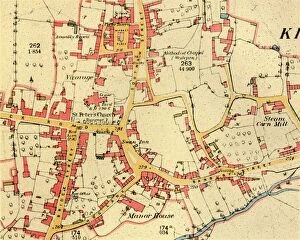
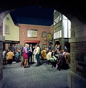
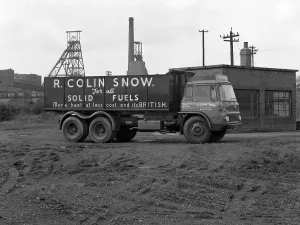
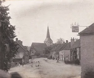
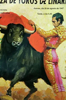
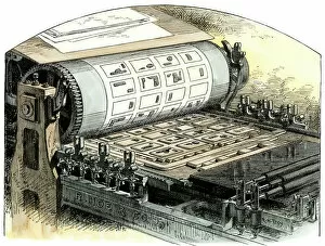
"Exploring the Rich Tapestry of Trade: From Naive Haitian Paintings to Hand-painted Didgeridoos" Trade has been an integral part of human civilization, connecting cultures and shaping societies throughout history. From the vibrant streets of Colonial Zone in Santo Domingo, Dominican Republic, to the bustling Vucciria Market in Palermo, Sicily, Italy, Europe - trade has always thrived as a catalyst for cultural exchange. In the 1450s, Johannes Gutenberg's revolutionary printing press transformed communication and knowledge dissemination forever. This invention paved the way for intellectual progress and global trade expansion. Meanwhile, a Map of the City of Dublin from 1797 offers us a glimpse into how commerce shaped urban landscapes. The Pedro Miguel Locks at Panama Canal stand as a testament to mankind's determination to conquer nature's obstacles in pursuit of efficient trade routes. Central America became an essential hub connecting continents and fostering economic growth. Delving into culinary delights brought about by trade, Maltese goat cheese (Gbejniet) tantalizes taste buds with its unique flavors passed down through generations. Similarly, Ye Olde Pork Pie Shoppe in Melton Mowbray showcases England's rich tradition of pie-making that originated from local agricultural trade. From afar across oceans lie Polkanuggo Quarry in Stithians Cornwall or The Village of Kineton in Warwickshire—both capturing moments frozen in time where mining and agriculture played pivotal roles in regional economies during different eras. Spanish galleons sailing on vast seas evoke images of exploration and conquest intertwined with lucrative trading ventures that shaped empires. These vessels carried treasures from distant lands while forging connections between nations. Grand Place stands tall as Brussels' historic marketplace—a symbol not only for Belgium but also for Europe's thriving commercial centers throughout centuries past. It serves as a reminder that often at the heart of architectural marvels we admire today.