
The Rookery Collection
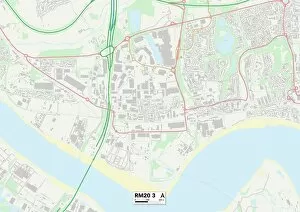
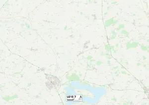
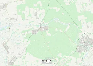
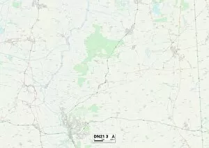
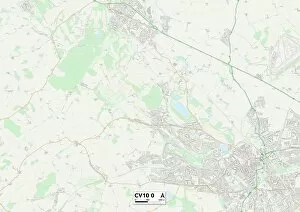
"The Rookery: A Hidden Gem of Tranquility Across the UK" Nestled in various corners of the United Kingdom, from Thurrock to Telford and Wrekin


All Professionally Made to Order for Quick Shipping
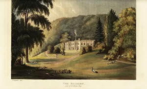
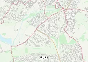
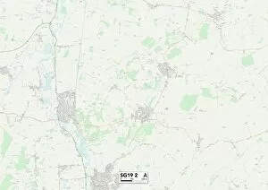
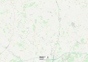
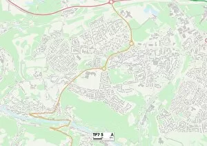
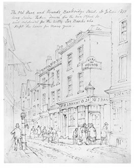
"The Rookery: A Hidden Gem of Tranquility Across the UK" Nestled in various corners of the United Kingdom, from Thurrock to Telford and Wrekin, lies a collection of enchanting places known as "The Rookery. " These idyllic spots offer a respite from the hustle and bustle of everyday life, inviting visitors to immerse themselves in nature's embrace. One such location is found in Westcott, Surrey. Dating back to 1823, an engraving captures the timeless beauty here. With its sprawling green fields and majestic trees that seem to touch the sky, it paints a picture-perfect scene straight out of a fairytale. Venturing further into Watford or Central Bedfordshire unveils more hidden treasures within The Rookery's domain. Each map reveals another haven waiting to be explored – whether it be West Berkshire with its rolling hills or St. Helens boasting picturesque landscapes. As you journey through Hampshire's charming towns like PO10 8 or RG28 7 on their respective maps, you'll stumble upon even more pockets of tranquility known as The Rookery. Here, time slows down amidst serene lakes and meandering streams that whisper secrets only nature can understand. Staffordshire also boasts two locations on this mystical map - ST7 4 and ST5 6 - where The Rookery continues to captivate hearts with its untouched beauty. Amidst these Staffordshire gems lie ancient woodlands teeming with wildlife and wildflowers dancing in harmony with gentle breezes. Finally, Telford and Wrekin beckon adventurers towards TF7 5 on their map – an invitation they simply cannot resist. Here at The Rookery's doorstep lies an oasis brimming with vibrant colors; blooming gardens entice visitors while birdsong fills the air like sweet melodies.