
The Leas Collection
"The Leas: Exploring the Hidden Gems of Wolverhampton, Hertsmere, North Yorkshire, Redcar & Cleveland, and More


All Professionally Made to Order for Quick Shipping
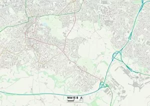
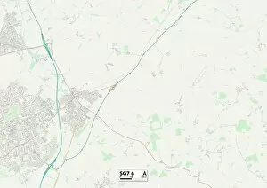
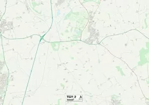
"The Leas: Exploring the Hidden Gems of Wolverhampton, Hertsmere, North Yorkshire, Redcar & Cleveland, and More. " Embark on a journey through the enchanting landscapes of Wolverhampton WV10 7 Map, Hertsmere WD23 2 Map, and North Yorkshire YO61 2 Map. Discover the picturesque beauty that lies within these regions as you navigate your way through their charming streets. Immerse yourself in the tranquility of North Yorkshire YO11 3 Map and let its serene surroundings captivate your senses. Lose yourself in its rolling hills and breathtaking vistas that seem to stretch for miles. Indulge in coastal bliss at Redcar & Cleveland TS10 2 Map where sandy shores meet azure waters. Feel the warmth of the sun on your skin as you stroll along pristine beaches or take a dip in refreshing waves. Experience urban sophistication at Trafford WA15 8 Map where modernity meets tradition. Explore vibrant cityscapes adorned with architectural marvels and immerse yourself in a world of art, culture, and entertainment. Unwind amidst nature's wonders at Sunderland SR6 7 Map where lush greenery surrounds you from every corner. Take leisurely walks through verdant parks or embark on thrilling adventures along scenic trails. Discover seaside charm at Southend-on-Sea SS0 8 Map where lively promenades beckon with amusement arcades and delectable seafood delights. Breathe in fresh sea air as you soak up stunning views across vast horizons. Delve into history-rich landscapes at North Hertfordshire SG7 6 Map where ancient ruins whisper tales of bygone eras. Uncover hidden treasures tucked away within quaint villages steeped in heritage. Marvel at Stockton-on-Tees TS21 2 Map's industrial prowess while enjoying its natural beauty along tranquil riversides. Witness how this town seamlessly blends old-world charm with modern innovation.