Fraud Blocker Skip to main content

The Close Collection

"The Close: Exploring the Hidden Gems of Lichfield, Kettering, Melton, and More

Background imageThe Close Collection: Lichfield WS13 7 Map

Lichfield WS13 7 Map
Postcode Sector Map of Lichfield WS13 7

Background imageThe Close Collection: Kettering NN15 6 Map

Kettering NN15 6 Map
Postcode Sector Map of Kettering NN15 6

Background imageThe Close Collection: Melton LE14 2 Map

Melton LE14 2 Map
Postcode Sector Map of Melton LE14 2

Background imageThe Close Collection: Northumberland NE20 9 Map

Northumberland NE20 9 Map
Postcode Sector Map of Northumberland NE20 9

Background imageThe Close Collection: Leeds LS17 7 Map

Leeds LS17 7 Map
Postcode Sector Map of Leeds LS17 7

Background imageThe Close Collection: Exeter EX7 0 Map

Exeter EX7 0 Map
Postcode Sector Map of Exeter EX7 0

Background imageThe Close Collection: York YO19 6 Map

York YO19 6 Map
Postcode Sector Map of York YO19 6

Background imageThe Close Collection: Redcar & Cleveland TS13 4 Map

Redcar & Cleveland TS13 4 Map
Postcode Sector Map of Redcar & Cleveland TS13 4

Background imageThe Close Collection: Wealden TN22 5 Map

Wealden TN22 5 Map
Postcode Sector Map of Wealden TN22 5

Background imageThe Close Collection: Staffordshire ST17 9 Map

Staffordshire ST17 9 Map
Postcode Sector Map of Staffordshire ST17 9

Background imageThe Close Collection: Swindon SN5 3 Map

Swindon SN5 3 Map
Postcode Sector Map of Swindon SN5 3

Background imageThe Close Collection: North Yorkshire YO22 4 Map

North Yorkshire YO22 4 Map
Postcode Sector Map of North Yorkshire YO22 4

Background imageThe Close Collection: Hillingdon UB10 0 Map

Hillingdon UB10 0 Map
Postcode Sector Map of Hillingdon UB10 0

Background imageThe Close Collection: Hampshire RG26 5 Map

Hampshire RG26 5 Map
Postcode Sector Map of Hampshire RG26 5

Background imageThe Close Collection: Barking and Dagenham RM6 6 Map

Barking and Dagenham RM6 6 Map
Postcode Sector Map of Barking and Dagenham RM6 6

Background imageThe Close Collection: Horsham RH20 3 Map

Horsham RH20 3 Map
Postcode Sector Map of Horsham RH20 3

Background imageThe Close Collection: Fylde PR4 3 Map

Fylde PR4 3 Map
Postcode Sector Map of Fylde PR4 3

Background imageThe Close Collection: Sefton PR9 8 Map

Sefton PR9 8 Map
Postcode Sector Map of Sefton PR9 8

Background imageThe Close Collection: South Oxfordshire RG8 0 Map

South Oxfordshire RG8 0 Map
Postcode Sector Map of South Oxfordshire RG8 0

Background imageThe Close Collection: Wellingborough NN9 5 Map

Wellingborough NN9 5 Map
Postcode Sector Map of Wellingborough NN9 5

Background imageThe Close Collection: Torfaen NP44 3 Map

Torfaen NP44 3 Map
Postcode Sector Map of Torfaen NP44 3

Background imageThe Close Collection: Milton Keynes MK17 8 Map

Milton Keynes MK17 8 Map
Postcode Sector Map of Milton Keynes MK17 8

Background imageThe Close Collection: Leicester LE17 6 Map

Leicester LE17 6 Map
Postcode Sector Map of Leicester LE17 6

Background imageThe Close Collection: Leeds LS14 3 Map

Leeds LS14 3 Map
Postcode Sector Map of Leeds LS14 3

Background imageThe Close Collection: Luton LU3 2 Map

Luton LU3 2 Map
Postcode Sector Map of Luton LU3 2

Background imageThe Close Collection: Leeds LS22 5 Map

Leeds LS22 5 Map
Postcode Sector Map of Leeds LS22 5

Background imageThe Close Collection: Aylesbury Vale HP22 5 Map

Aylesbury Vale HP22 5 Map
Postcode Sector Map of Aylesbury Vale HP22 5

Background imageThe Close Collection: Bracknell Forest GU47 0 Map

Bracknell Forest GU47 0 Map
Postcode Sector Map of Bracknell Forest GU47 0

Background imageThe Close Collection: Kirklees HD8 9 Map

Kirklees HD8 9 Map
Postcode Sector Map of Kirklees HD8 9

Background imageThe Close Collection: Derby DE22 2 Map

Derby DE22 2 Map
Postcode Sector Map of Derby DE22 2

Background imageThe Close Collection: Dudley DY3 2 Map

Dudley DY3 2 Map
Postcode Sector Map of Dudley DY3 2

Background imageThe Close Collection: North Dorset DT11 8 Map

North Dorset DT11 8 Map
Postcode Sector Map of North Dorset DT11 8

Background imageThe Close Collection: Stratford-on-Avon CV36 5 Map

Stratford-on-Avon CV36 5 Map
Postcode Sector Map of Stratford-on-Avon CV36 5

Background imageThe Close Collection: Doncaster DN3 3 Map

Doncaster DN3 3 Map
Postcode Sector Map of Doncaster DN3 3

Background imageThe Close Collection: Cardiff CF14 5 Map

Cardiff CF14 5 Map
Postcode Sector Map of Cardiff CF14 5

Background imageThe Close Collection: Bristol BS16 4 Map

Bristol BS16 4 Map
Postcode Sector Map of Bristol BS16 4

Background imageThe Close Collection: Bristol BS16 1 Map

Bristol BS16 1 Map
Postcode Sector Map of Bristol BS16 1

Background imageThe Close Collection: BB Blackburn, BB5 2

BB Blackburn, BB5 2
BB5 2

Background imageThe Close Collection: The Wardrobe House, The Close, Salisbury, Evening (litho)

The Wardrobe House, The Close, Salisbury, Evening (litho)
6028914 The Wardrobe House, The Close, Salisbury, Evening (litho) by Roe, Fred (1864-1947); Private Collection; (add.info.: The Wardrobe House, The Close, Salisbury, Evening)

Background imageThe Close Collection: The Close, Norwich Cathedral and spire from the Cathedral Close, Norwich, Norfolk, East Anglia

The Close, Norwich Cathedral and spire from the Cathedral Close, Norwich, Norfolk, East Anglia, England, United Kingdom, Europe

Background imageThe Close Collection: Wakefield WF4 3 Map

Wakefield WF4 3 Map
Postcode Sector Map of Wakefield WF4 3

Background imageThe Close Collection: Leeds WF3 2 Map

Leeds WF3 2 Map
Postcode Sector Map of Leeds WF3 2

Background imageThe Close Collection: Hertsmere WD23 3 Map

Hertsmere WD23 3 Map
Postcode Sector Map of Hertsmere WD23 3

Background imageThe Close Collection: North Yorkshire YO51 9 Map

North Yorkshire YO51 9 Map
Postcode Sector Map of North Yorkshire YO51 9

Background imageThe Close Collection: North Yorkshire YO7 1 Map

North Yorkshire YO7 1 Map
Postcode Sector Map of North Yorkshire YO7 1

Background imageThe Close Collection: North Yorkshire YO18 7 Map

North Yorkshire YO18 7 Map
Postcode Sector Map of North Yorkshire YO18 7

Background imageThe Close Collection: North Yorkshire YO13 9 Map

North Yorkshire YO13 9 Map
Postcode Sector Map of North Yorkshire YO13 9


All Professionally Made to Order for Quick Shipping

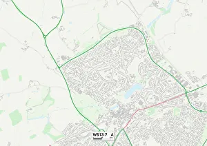
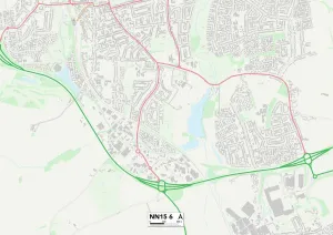
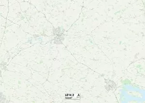
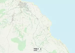
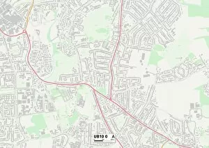
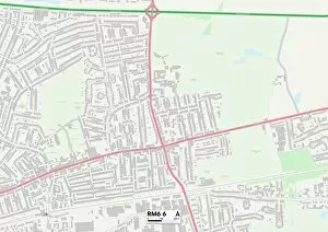
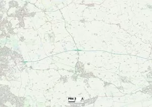
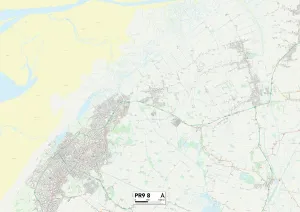
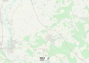
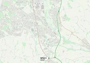
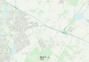
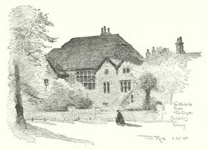
"The Close: Exploring the Hidden Gems of Lichfield, Kettering, Melton, and More. " Embark on a captivating journey through picturesque towns and vibrant cities as we unravel the secrets of "The Close. " From the charming streets of Lichfield to the bustling markets in Kettering, this adventure promises to be an unforgettable experience. 📍Lichfield WS13 7 Map: Step into history as you wander through cobbled lanes lined with stunning Georgian architecture. Discover hidden courtyards and immerse yourself in the rich heritage that permeates every corner. 📍Kettering NN15 6 Map: Lose yourself amidst a tapestry of cultures as you explore Kettering's diverse neighborhoods. Indulge your senses at local food markets or delve into art galleries showcasing talents from around the world. 📍Melton LE14 2 Map: Immerse yourself in rural tranquility as you venture into Melton's idyllic landscapes. Take leisurely strolls along winding rivers or lose track of time exploring quaint villages nestled within rolling hills. 📍Leeds LS17 7 Map: Experience urban charm at its finest in Leeds' vibrant cityscape. From trendy boutiques to thriving nightlife scenes, this dynamic metropolis offers something for everyone seeking excitement and cultural enrichment. 📍York YO19 6 Map: Uncover York's medieval wonders as you traverse ancient city walls and meander down narrow alleyways steeped in tales from centuries past. Marvel at magnificent cathedrals and indulge your inner historian with visits to iconic landmarks. Join us further on our journey.