
Tectonic Collection
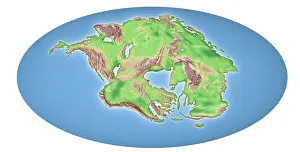
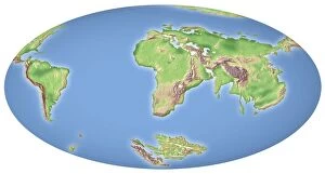
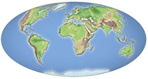
Tectonic forces have shaped our world for millions of years, with continental drift occurring over a span of 250 million years


All Professionally Made to Order for Quick Shipping
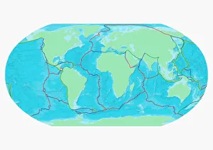
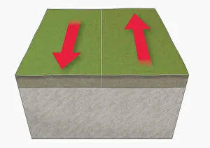
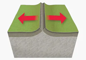
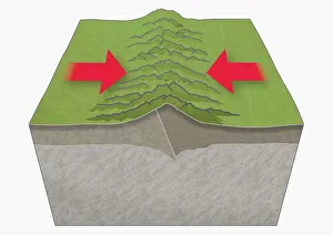
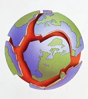
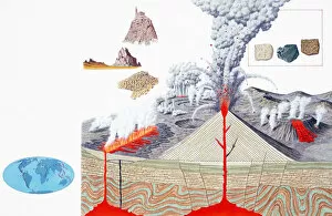
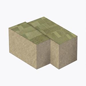
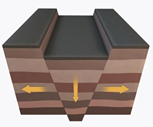
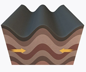
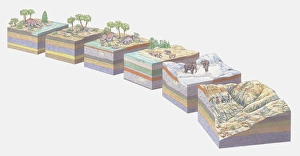
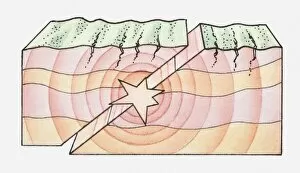
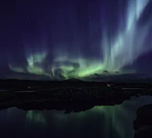
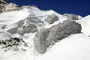
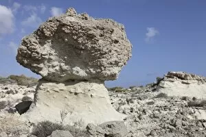
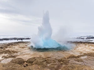
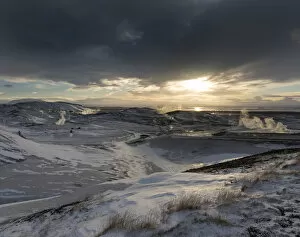
Tectonic forces have shaped our world for millions of years, with continental drift occurring over a span of 250 million years. A map of the world showcases the boundaries plates, marking their immense impact on Earth's surface. Traveling back in time to 100 million years ago, we witness the incredible phenomenon of continental drift. Illustrations vividly depict tectonic plates moving apart at divergent boundaries, creating vast oceans and new land formations. Conversely, when these powerful plates collide at convergent boundaries, majestic mountains are born. The sheer force generated by this collision is awe-inspiring as illustrated in breathtaking images capturing the birth of towering peaks. In another fascinating scenario, tectonic plates move past each other along transform boundaries. This lateral motion can result in earthquakes and unique geological features that shape our landscapes. One prominent figure who contributed significantly to our understanding of tectonics is Alfred Wegener (1880-1930), a German polar researcher whose groundbreaking work revolutionized geology and plate tectonics theory. Exploring further into nature's wonders, hikers venture into geothermal areas like Hveradalir in Kerlingarfjoll or Seltun near Krysuvik volcano on Iceland's Reykjanes peninsula. These captivating landscapes showcase the raw power beneath Earth's surface through steaming vents and bubbling hot springs during winter months. Among Iceland's famous attractions lies Geyser Strokkur within Haukadalur geothermal area - part of the Golden Circle route. Witnessing its explosive eruptions amidst snowy surroundings leaves visitors spellbound by nature's grandeur captured beautifully in picture No. 11982054 and picture No. 11982053. As we marvel at these glimpses into Earth’s dynamic history and present-day wonders, it becomes evident that tectonic forces continue to shape our planet relentlessly – an ongoing saga that reminds us of the immense power and beauty that lies beneath our feet.