
Supplies Collection
"Journey Through Time: Exploring the World's Supplies" Step back in time with these antique maps, as we embark on a captivating journey through centuries of supplies


All Professionally Made to Order for Quick Shipping
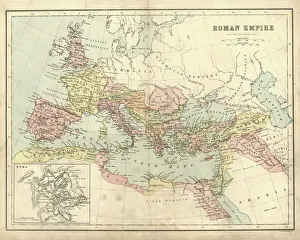
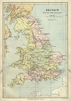
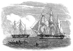
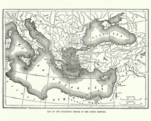
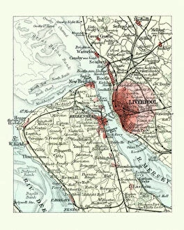
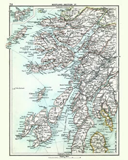
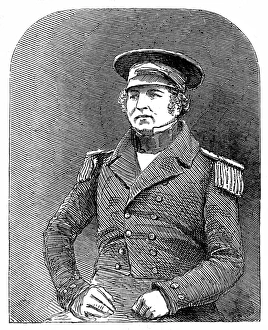
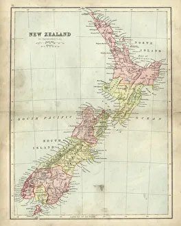
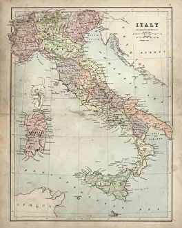
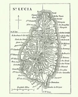
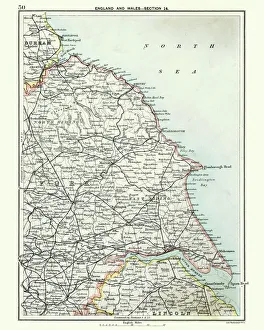
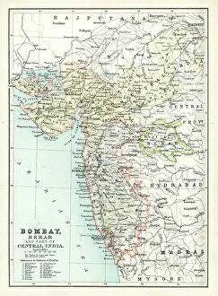
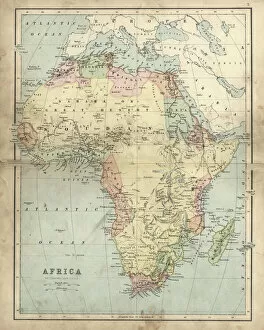
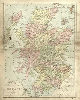
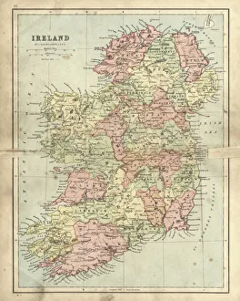
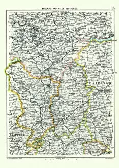
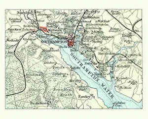
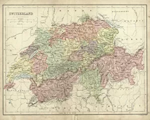
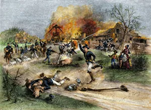
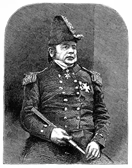
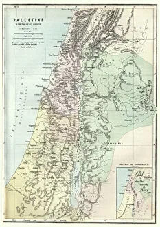
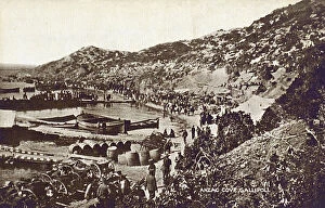
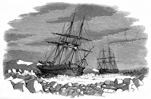
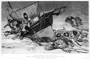
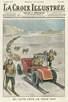
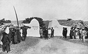
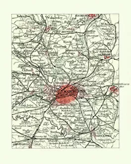
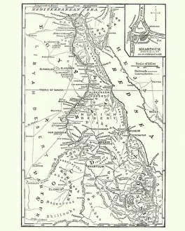
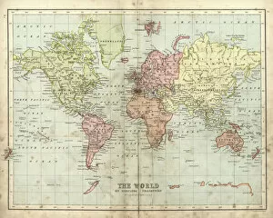
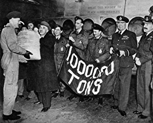
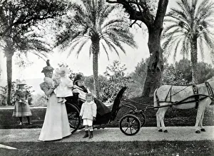
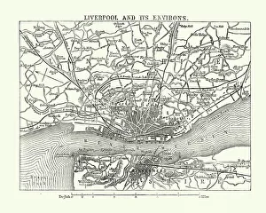
"Journey Through Time: Exploring the World's Supplies" Step back in time with these antique maps, as we embark on a captivating journey through centuries of supplies. Unfold an ancient map of the Roman Empire and witness the intricate network of trade routes that supplied this mighty civilization. Marvel at the detailed depiction of Britain under the Anglo Saxons, revealing how supplies sustained their flourishing society. Delve into history's icy grip as you encounter HMS Erebus and HMS Terror from 1845, ships braving treacherous waters in search of essential provisions. Trace your finger along a map showcasing the Byzantine Empire in the 9th Century, where vital resources fueled its grandeur. Transport yourself to Liverpool and Birkenhead in England during the 19th Century, where an antique map unveils bustling ports teeming with supplies for both local communities and far-reaching destinations like Scotland's Jura, Mull, Argyll, and Islay. Meet Captain Francis Crozier aboard HMS Terror in 1845 – a fearless leader navigating uncharted territories to secure crucial supplies amidst harsh conditions. Explore New Zealand through a mesmerizing 19th Century map; witness how settlers relied on diverse resources to forge new lives. Relive D-Day's pivotal moment as supplies pour ashore onto foreign shores – an awe-inspiring testament to human resilience and determination. Gaze upon a damaged antique map of Ireland from the same era; it serves as a poignant reminder that even amidst turmoil, sustenance remains paramount. Discover Saint Lucia through a beautifully preserved 19th Century map; marvel at its lush landscapes providing sustenance for generations past. Lastly, traverse Africa via an enchanting 1873 antique map – observe vast regions rich with natural treasures that have long supported civilizations throughout time. These captivating glimpses into our historical reliance on supplies remind us not only of our ancestors' resourcefulness but also inspire gratitude for today's modern conveniences.