
St Davids Close Collection
"Discover the charm of St. David's Close, a hidden gem tucked away in various locations across the UK


All Professionally Made to Order for Quick Shipping
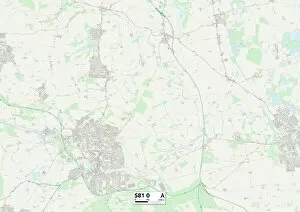
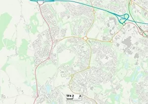
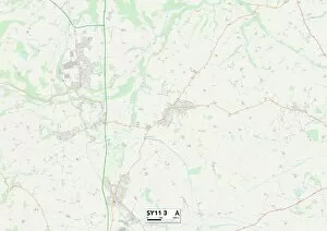
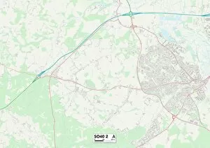
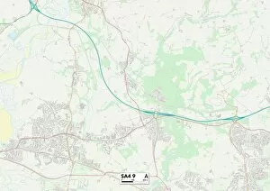
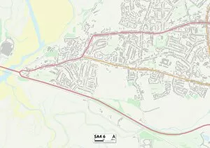
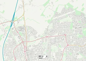
"Discover the charm of St. David's Close, a hidden gem tucked away in various locations across the UK. From Gloucester GL4 0 to Stevenage SG1 4, this quaint neighborhood offers something for everyone. Immerse yourself in nature at Wyre Forest DY11 6, where lush greenery and peaceful trails await. Or explore the rich history of Bassetlaw S81 0, with its fascinating landmarks and architectural wonders. For those seeking a vibrant community atmosphere, Telford and Wrekin TF4 2 is the place to be. Enjoy lively events and friendly neighbors that make you feel right at home. Waverley GU9 9 boasts stunning landscapes and breathtaking views that will leave you in awe. Take a leisurely stroll through Shropshire SY11 3 or Spelthorne TW19 7 to experience picturesque scenery like no other. Escape to New Forest SO40 2 for an enchanting retreat surrounded by ancient woodlands and tranquil lakes. And don't forget about Swansea SA4. Whether it's SA4 0, SA4 9, or SA4 6 - each location offers its own unique charm with beautiful coastal vistas just waiting to be explored. No matter which St. David's Close you find yourself in, one thing is certain: you'll fall in love with the sense of community and natural beauty that surrounds these idyllic neighborhoods. "