
Silt Collection
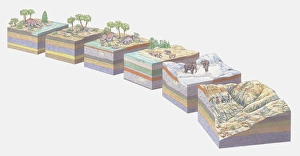
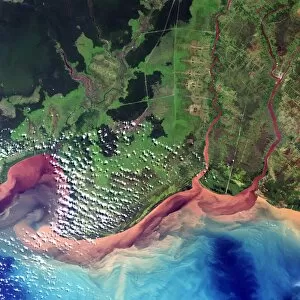
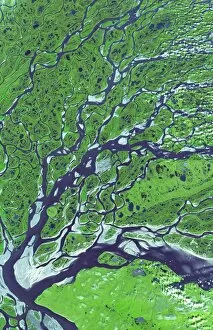
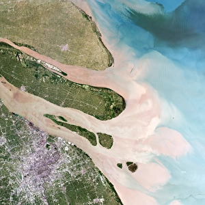
"Silt: The Silent Force Shaping Earth's Landscapes" From the intricate patterns of a soil triangle diagram to the stunning aerial view of Bombetoka Bay in Madagascar


All Professionally Made to Order for Quick Shipping
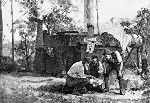
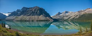
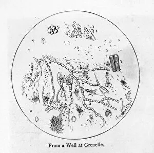
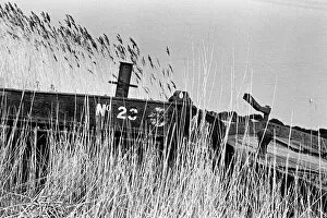
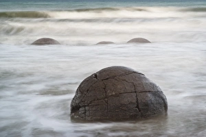
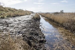
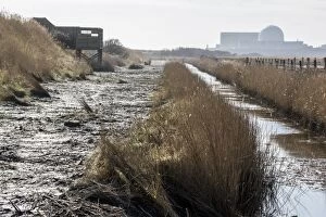
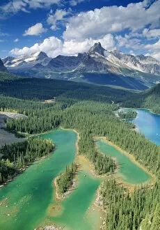
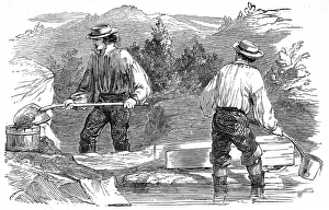
"Silt: The Silent Force Shaping Earth's Landscapes" From the intricate patterns of a soil triangle diagram to the stunning aerial view of Bombetoka Bay in Madagascar, silt is an essential component that influences our planet's diverse terrains. This fine sediment, composed of tiny mineral particles and organic matter, plays a significant role in various natural phenomena. In Gold Prospecting, silt often reveals hidden treasures as prospectors meticulously sift through riverbeds searching for glimmers of gold. Holkham Beach in Norfolk, England showcases how this delicate sediment creates picturesque landscapes with its soft layers blending harmoniously with the sea. Venturing underwater off the island of Thasos, an intriguing sight awaits - a wheel resting at the bottom of the sea. Here we witness how silt settles over time and preserves remnants from bygone eras like silent storytellers. Moving across continents to New Mexico's Bisti/De-Na-Zin Wilderness, we encounter soft layered formations shaped by centuries of wind and water erosion. These mesmerizing structures demonstrate how they are mold breathtaking landscapes that seem almost otherworldly. Journeying northward to Canada's Alberta province unveils nature's artistic prowess as glacial silt turns rivers and lakes into vibrant shades of blue along Icefields Parkway. Bow Lake reflects majestic mountain peaks while Waterfowl Lake captivates with its stillness and Howse Peak standing tall in the backdrop. Even urban environments bear witness to silt’s impact; Port à l'Anglais on River Seine collects sediments carried downstream – evidence of human activity shaping waterways over time. Lastly, we delve into history where prospectors during California’s Gold Rush used sluices to separate precious minerals from muddy waters rich in silt. This colorful lithograph captures their determination amidst turbulent times when dreams were forged among swirling currents laden with potential wealth. Sifted through time and space, silt silently weaves its influence across the globe.