
Shrewsbury Road Collection
Shrewsbury Road, a name that echoes through various regions of England, connecting communities and weaving stories together


All Professionally Made to Order for Quick Shipping
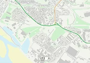
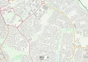
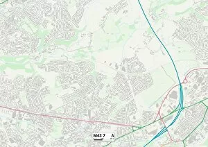
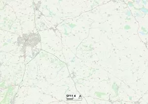
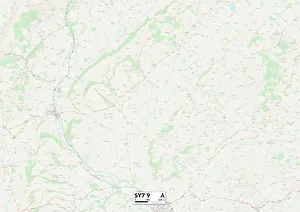
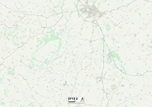
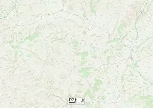
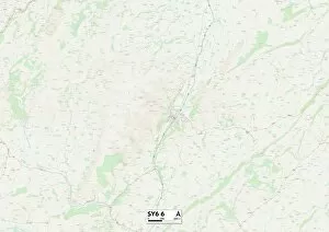
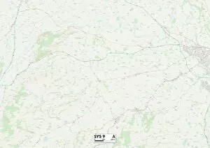
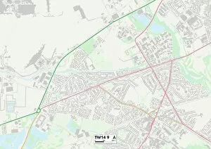
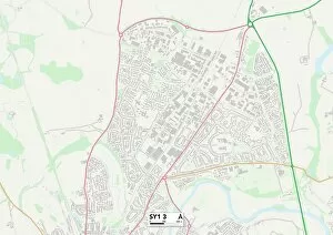
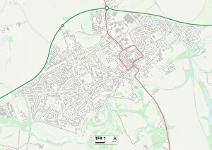
Shrewsbury Road, a name that echoes through various regions of England, connecting communities and weaving stories together. From Liverpool's L19 to Wyre Forest's DY11, this road stretches across the country like a thread linking different landscapes. Starting in Liverpool, Shrewsbury Road emerges as a vibrant artery pulsating with life. Its presence on the map brings together diverse neighborhoods and cultures, creating a tapestry of experiences for those who traverse its path. As we move further south to Swindon's SN3, the road takes us on an adventure through picturesque countryside. The rolling hills of Shropshire SY11 4 greet us with open arms, inviting us to explore their hidden treasures. From charming villages nestled along Shropshire SY7 9 to historic landmarks dotting Shropshire SY13 2 and beyond – each stop along this route reveals another chapter in England's rich history. The journey continues through Tameside M43 7 where urban landscapes blend seamlessly with nature. Here, modernity intertwines with tradition as bustling city streets give way to serene parks and green spaces. Heading towards Middlesbrough TS3 9 in the northeast corner of England, Shrewsbury Road showcases yet another facet of its versatility. The hustle and bustle of city life take center stage here as it connects people from all walks of life. Throughout its course, this road acts as more than just a means of transportation; it is an emblematic symbol representing unity amidst diversity. It serves as a reminder that despite our differences in geography or culture, we are all connected by shared experiences and aspirations. So next time you find yourself traveling along Shrewsbury Road – whether it be on foot or behind the wheel – take a moment to appreciate the beauty that lies within these maps: Liverpool L19 2 Map; Wyre Forest DY11 6 Map; Swindon SN3 3 Map; Tameside M43 7 Map.