
Shoe Lane Collection
"Exploring the Historic Shoe Lane: A Journey through Time and Maps" Step into the enchanting Shoe Lane, where history intertwines with modernity


All Professionally Made to Order for Quick Shipping
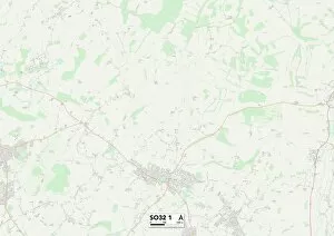
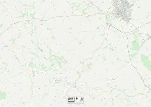
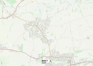
"Exploring the Historic Shoe Lane: A Journey through Time and Maps" Step into the enchanting Shoe Lane, where history intertwines with modernity. Dr Johnson's Tree stands tall in New-Street, a testament to the rich heritage of this captivating lane. As we navigate through its winding paths, let us embark on a virtual tour using maps from Eastleigh SO32 3 to Bath and North East Somerset BS39 7. Starting our journey in Eastleigh SO32 1, we are greeted by an intriguing map that hints at hidden treasures waiting to be discovered. Moving further south towards Southend-on-Sea SS0 9, another map unravels secrets of this coastal town's connection to Shoe Lane. Venturing westward into Somerset TA7 8, a charming map reveals picturesque landscapes surrounding Shoe Lane. The allure continues as we make our way northwards towards Oxford OX1 2 - a city renowned for its prestigious university and cultural landmarks. Next stop is Lincoln LN11 9; here lies yet another fascinating map showcasing the historical significance within this ancient city's fabric. Rushmoor GU11 2 beckons us next with its vibrant community spirit reflected in its detailed map. Our journey takes an exciting turn as we arrive at City of London EC4A 3 - the heart of commerce and finance. Here, amidst towering skyscrapers, lies Shoe Lane - a sanctuary amidst bustling streets captured beautifully on yet another captivating map. Heading southwest towards West Dorset DT6 3 brings us closer to nature's wonders while retaining traces of Shoelane's charm. Finally, our exploration concludes in Bath and North East Somerset BS39 7; here awaits one last treasure trove filled with stories etched onto every corner of this remarkable place called Shoe Lane. Join us on this virtual adventure through time and space as we unravel the mysteries embedded within each Map along the captivating Shoe Lane.