Fraud Blocker Skip to main content

Sherwood Street Collection

Sherwood Street, a name that echoes through time and geography

Background imageSherwood Street Collection: Rhondda Cynon Taf CF40 2 Map

Rhondda Cynon Taf CF40 2 Map
Postcode Sector Map of Rhondda Cynon Taf CF40 2

Background imageSherwood Street Collection: Bolsover NG20 0 Map

Bolsover NG20 0 Map
Postcode Sector Map of Bolsover NG20 0

Background imageSherwood Street Collection: Leicester LE5 4 Map

Leicester LE5 4 Map
Postcode Sector Map of Leicester LE5 4

Background imageSherwood Street Collection: The collapse of Snows 'Chophouse, 'Sherwood Street, in 1905;A present-day view of Sherwood Street

The collapse of Snows "Chophouse, "Sherwood Street, in 1905;A present-day view of Sherwood Street
5990633 The collapse of Snows " Chophouse, " Sherwood Street, in 1905; A present-day view of Sherwood Street (b/w photo) by English Photographer

Background imageSherwood Street Collection: Wolverhampton WV1 4 Map

Wolverhampton WV1 4 Map
Postcode Sector Map of Wolverhampton WV1 4

Background imageSherwood Street Collection: North Yorkshire YO11 1 Map

North Yorkshire YO11 1 Map
Postcode Sector Map of North Yorkshire YO11 1

Background imageSherwood Street Collection: Barnsley S71 1 Map

Barnsley S71 1 Map
Postcode Sector Map of Barnsley S71 1

Background imageSherwood Street Collection: Westminster W1D 7 Map

Westminster W1D 7 Map
Postcode Sector Map of Westminster W1D 7

Background imageSherwood Street Collection: Berkshire RG30 1 Map

Berkshire RG30 1 Map
Postcode Sector Map of Berkshire RG30 1

Background imageSherwood Street Collection: Chesterfield S40 2 Map

Chesterfield S40 2 Map
Postcode Sector Map of Chesterfield S40 2

Background imageSherwood Street Collection: Bolsover S44 6 Map

Bolsover S44 6 Map
Postcode Sector Map of Bolsover S44 6

Background imageSherwood Street Collection: Oldham OL1 2 Map

Oldham OL1 2 Map
Postcode Sector Map of Oldham OL1 2

Background imageSherwood Street Collection: Rochdale OL11 2 Map

Rochdale OL11 2 Map
Postcode Sector Map of Rochdale OL11 2

Background imageSherwood Street Collection: Barnet N20 0 Map

Barnet N20 0 Map
Postcode Sector Map of Barnet N20 0

Background imageSherwood Street Collection: Manchester M14 6 Map

Manchester M14 6 Map
Postcode Sector Map of Manchester M14 6

Background imageSherwood Street Collection: Ashfield NG15 7 Map

Ashfield NG15 7 Map
Postcode Sector Map of Ashfield NG15 7

Background imageSherwood Street Collection: Mansfield NG19 9 Map

Mansfield NG19 9 Map
Postcode Sector Map of Mansfield NG19 9

Background imageSherwood Street Collection: Mansfield NG18 1 Map

Mansfield NG18 1 Map
Postcode Sector Map of Mansfield NG18 1

Background imageSherwood Street Collection: Ashfield NG17 9 Map

Ashfield NG17 9 Map
Postcode Sector Map of Ashfield NG17 9

Background imageSherwood Street Collection: Ashfield NG17 7 Map

Ashfield NG17 7 Map
Postcode Sector Map of Ashfield NG17 7

Background imageSherwood Street Collection: Ashfield NG17 2 Map

Ashfield NG17 2 Map
Postcode Sector Map of Ashfield NG17 2

Background imageSherwood Street Collection: Liverpool L3 6 Map

Liverpool L3 6 Map
Postcode Sector Map of Liverpool L3 6

Background imageSherwood Street Collection: Derby DE22 3 Map

Derby DE22 3 Map
Postcode Sector Map of Derby DE22 3

Background imageSherwood Street Collection: Amber Valley DE55 6 Map

Amber Valley DE55 6 Map
Postcode Sector Map of Amber Valley DE55 6

Background imageSherwood Street Collection: Amber Valley DE55 5 Map

Amber Valley DE55 5 Map
Postcode Sector Map of Amber Valley DE55 5

Background imageSherwood Street Collection: Amber Valley DE55 4 Map

Amber Valley DE55 4 Map
Postcode Sector Map of Amber Valley DE55 4

Background imageSherwood Street Collection: BL Bolton, BL1 8

BL Bolton, BL1 8
BL1 8

Background imageSherwood Street Collection: Piccadilly Circus

Piccadilly Circus
1928: Looking down Glasshouse Street to the junction with Sherwood Street and towards the lights of Piccadilly Circus in London. (Photo by Topical Press Agency/Getty Images)


All Professionally Made to Order for Quick Shipping

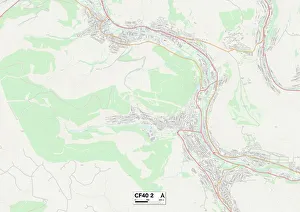
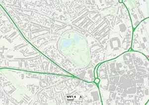
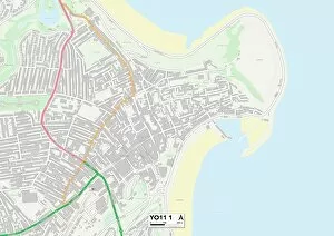
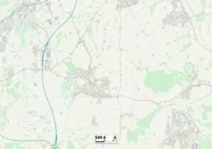
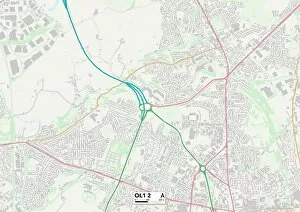
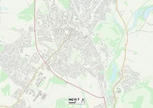
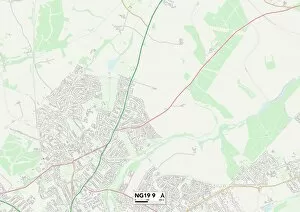
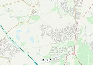
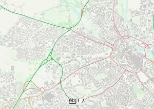
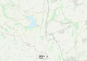
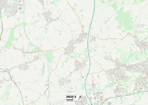
Sherwood Street, a name that echoes through time and geography. From the bustling streets of Rhondda Cynon Taf to the quaint corners of Bolsover, this street has left its mark on many towns and cities across the United Kingdom. In Rhondda Cynon Taf CF40 2 Map, Sherwood Street stands tall amidst a vibrant community. Its presence is felt by all who pass by, as it weaves its way through the heart of this town. The map reveals a network of roads intersecting with Sherwood Street, connecting people from different walks of life. Moving on to Bolsover NG20 0 Map, Sherwood Street takes on a new identity. Here, it becomes an integral part of the town's fabric - a lifeline for residents and visitors alike. As you navigate through the map, you can see how Sherwood Street intertwines with other streets like threads in a tapestry. Leicester LE5 4 Map tells yet another tale about Sherwood Street. This time, it showcases its historical significance with pride. Memories linger in every corner as you explore this map - memories like the collapse of Snows "Chophouse" on Sherwood Street in 1905. It serves as a reminder that even in times of adversity, communities come together to rebuild what was lost. A present-day view captured in black and white photo transports us back to another era along Sherwood Street. Wolverhampton WV1 4 Map reveals glimpses into everyday life - people going about their business against the backdrop of this iconic street. Venturing further north to North Yorkshire YO11 1 Map brings us closer to nature's embrace while still being connected by Sherwood Street. Here lies proof that urbanity can coexist harmoniously with natural beauty; where cityscapes meet rolling hillsides. Barnsley S71 1 Map showcases how Sherwood Street has adapted to the changing times.