
School Street Collection
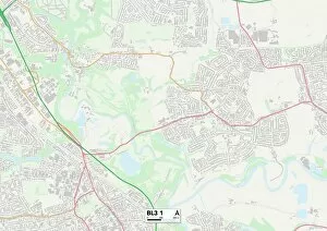
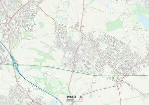
"School Street: A Journey Through Time and Distance" In the heart of BL Bolton, BL3 1, lies a street that holds stories from various corners of the country


All Professionally Made to Order for Quick Shipping
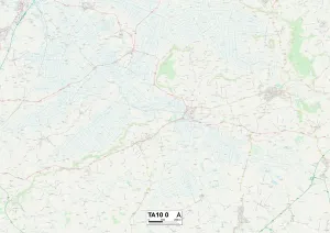
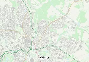
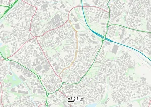
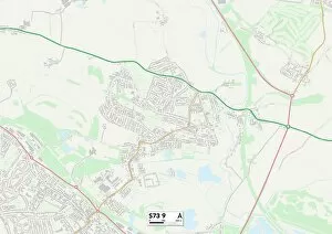
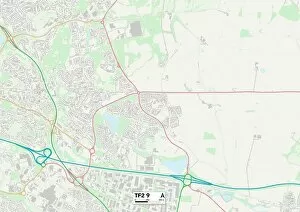
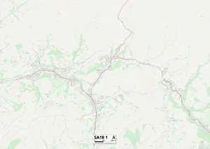
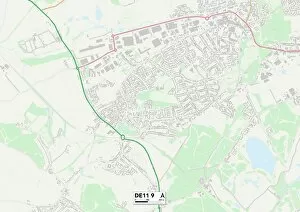
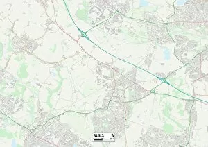
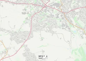
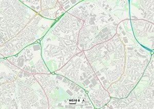
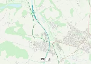
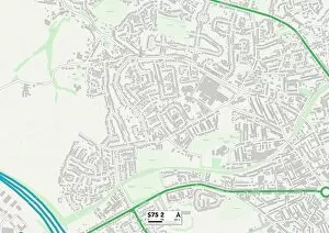
"School Street: A Journey Through Time and Distance" In the heart of BL Bolton, BL3 1, lies a street that holds stories from various corners of the country. As you walk along its pavement, you can't help but notice the majestic clock tower of Eagley Mills in the background, a symbol of history and progress. But School Street is not just about one location; it connects us to different places on the map. From Wigan WN7 5 to Somerset TA10 0, each address represents a unique community with its own character and charm. Wigan WN1 3 welcomes you with open arms as you explore its vibrant streets filled with bustling students and local businesses. Meanwhile, Sandwell WS10 9 invites you to discover its hidden gems tucked away in every corner. Venturing further north brings us to Barnsley S73 9 and S73 0 - two neighboring areas that share their rich heritage through cobblestone paths and quaint architecture. Telford and Wrekin TF2 9 then beckons with its modernity juxtaposed against pockets of greenery. Crossing borders into Carmarthenshire SA18 1 takes us on an adventure through picturesque landscapes where nature thrives alongside small-town warmth. And who could forget Daventry NN11 9? This charming town captivates visitors with its historical landmarks and friendly locals eager to share their tales. Finally, our journey concludes at Isle of Wight PO33 1 - an island paradise surrounded by stunning beaches that invite relaxation after traversing these diverse locations. School Street may be just a name on a signpost, but it serves as a gateway connecting communities far apart. It reminds us that despite our differences in distance or culture, we are all part of this beautiful tapestry called life. So let's embrace this shared connection as we continue exploring new horizons together.