
Satellite Image Collection
"Exploring the vastness of our universe, satellite images capture breathtaking views that redefine our perspective


All Professionally Made to Order for Quick Shipping
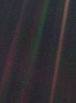
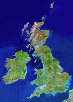
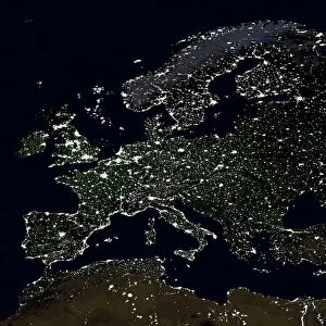
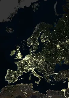
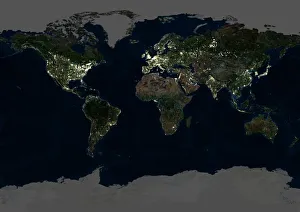
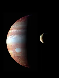
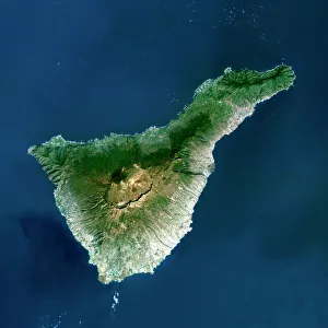
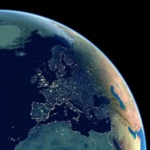
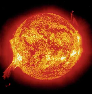
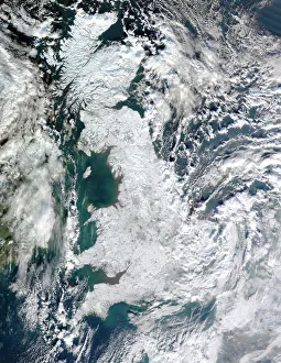
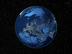
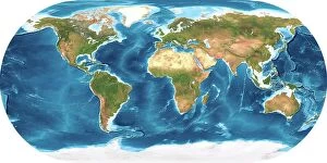
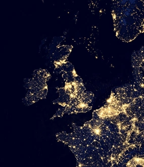
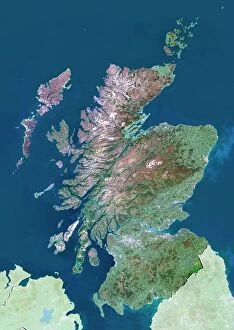
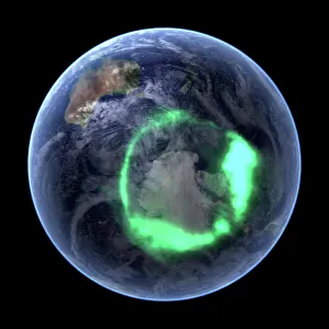
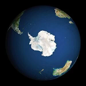
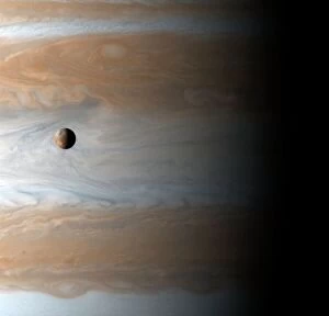
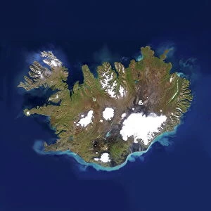
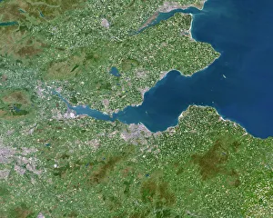
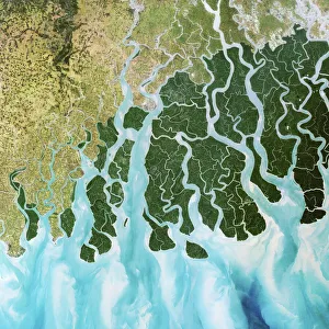
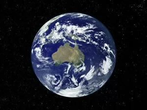
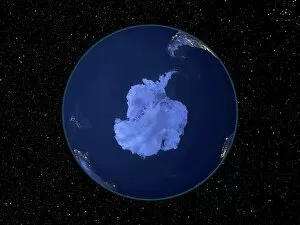
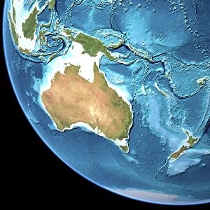
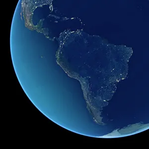
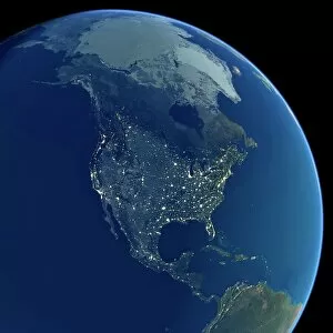
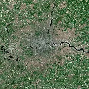
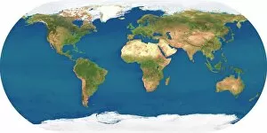
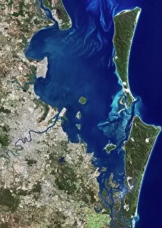
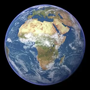
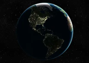
"Exploring the vastness of our universe, satellite images capture breathtaking views that redefine our perspective. Inspired by Voyager 1's iconic 'Pale Blue Dot' image, we witness the beauty and fragility of Earth from space. From the British Isles to Europe at night, these satellite images reveal a tapestry of lights illuminating cities and towns across continents. Marvel at the mesmerizing glow as darkness blankets Europe or gaze in awe at the captivating sight of our entire planet aglow during nighttime. Delve into Tenerife's intricate landscapes, where satellite imagery unveils its hidden wonders with stunning clarity. Venturing beyond our home planet, New Horizons grants us an extraordinary glimpse into Jupiter and its moon Io – a celestial dance frozen in time. Witnessing Earth from afar reminds us of its remarkable diversity; behold Scotland's rugged terrain captured through a lens high above. Satellite imagery also unravels nature's grandeur: observe awe-inspiring solar prominences erupting from the sun’s surface like fiery tendrils reaching towards infinity. In January 2010, witness Mother Nature transforming the United Kingdom into a winter wonderland as snow blankets every corner. Finally, explore North America at night through satellite lenses – an ethereal spectacle showcasing bustling metropolises intertwined with serene natural landscapes under starlit skies. " Note.