
Rigobert Bonne 17271794 Collection
Rigobert Bonne (1727-1794) was a renowned French cartographer who left an indelible mark on the world of mapmaking


All Professionally Made to Order for Quick Shipping
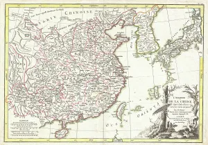
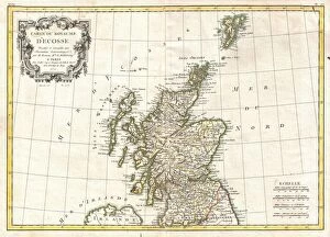
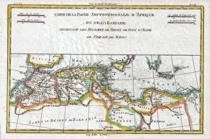
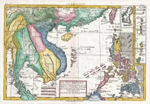
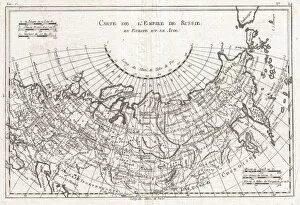
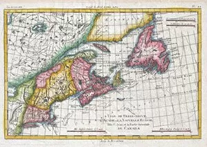
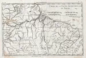
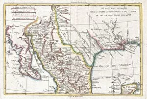
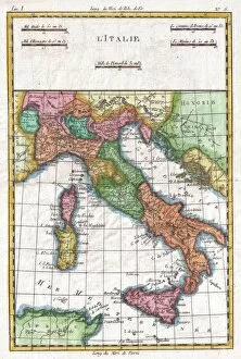
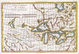
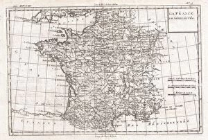
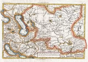
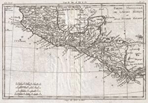
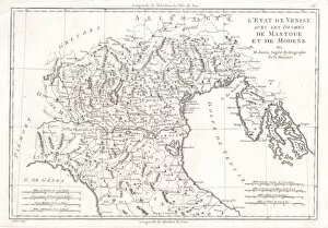
Rigobert Bonne (1727-1794) was a renowned French cartographer who left an indelible mark on the world of mapmaking. His contributions to geography and cartography are celebrated even today. In 1770, Bonne created the iconic "Bonne Map of China, Korea, Japan, and Formosa, " showcasing his meticulous attention to detail and accuracy. This masterpiece provided invaluable insights into the East Asian region during that era. Two years later, in 1772, Bonne presented us with another gem: the "Bonne Map of Scotland. " Considered one of his most significant works, this map captured Scotland's geographical intricacies with precision and elegance. Continuing his legacy in 1787, Bonne produced the remarkable "Map of the Dispersal of the Sons of Noah. " This creation explored biblical narratives by illustrating how Noah's descendants populated different regions across the globe—an impressive fusion between history and geography. His collaboration with Raynal resulted in several noteworthy maps. The "Raynal and Bonne Map of Western Africa" (1780) stands as a testament to their expertise in mapping this vast continent—a valuable resource for explorers and scholars alike. The duo also crafted influential maps such as "Turkey in Europe and Asia, " "the World, " "the Two Hemispheres, " "the Barbary Coast of Northern Africa, " "South America, " among others. Each map showcased their dedication to accuracy while providing crucial information about these regions during that time period. One cannot overlook Bonne's contribution to Southeast Asia through his creation titled "Southeast Asia and the Philippines" (1780). This map shed light on lesser-known territories while highlighting their cultural diversity—a true marvel for both historians and geographers. Lastly, we must acknowledge his exceptional work on Spain & Portugal ("Spain & Portugal") as well as Southern India ("Southern India"). These maps served not only navigational purposes but also acted as windows into the rich heritage and landscapes of these regions.