
Rhode Island Collection
Rhode Island, a picturesque gem in the heart of New England, captivates with its stunning landscapes and rich history


All Professionally Made to Order for Quick Shipping
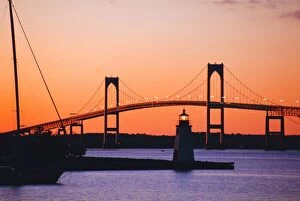
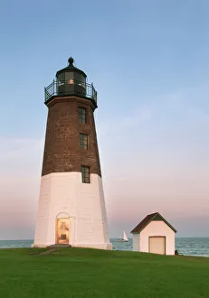
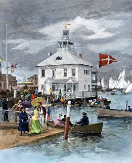
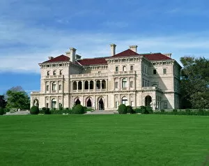
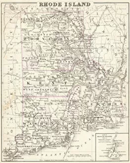
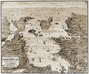
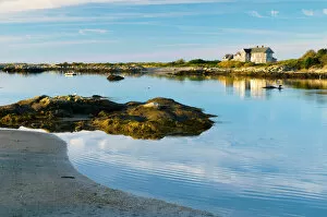
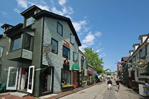
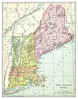
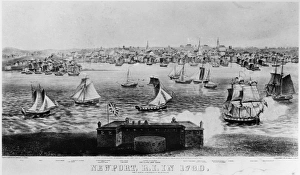
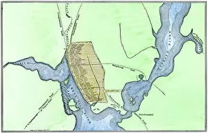
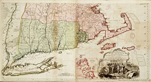
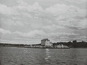
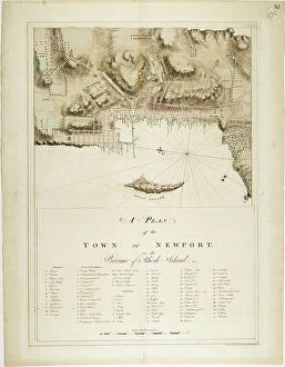
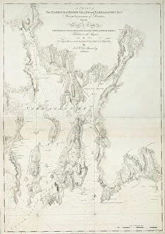
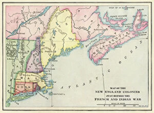
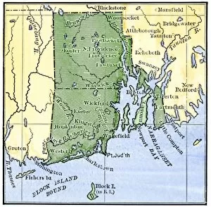
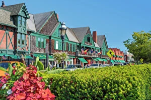
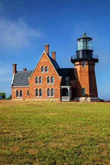
Rhode Island, a picturesque gem in the heart of New England, captivates with its stunning landscapes and rich history. As the sun sets over Newport Bridge and Harbor, a kaleidoscope of colors paints the sky, casting an enchanting glow on this coastal paradise. Point Judith Lighthouse stands tall against the dusky backdrop, guiding ships safely home as night falls. Transporting us back to the 1880s is a glimpse into Newport's prestigious Yacht Club. Elegant vessels dotting the harbor evoke images of opulence and grandeur that have defined Rhode Island for centuries. The state's historical significance is further highlighted by an intricate map from 1877, showcasing its evolving boundaries and landmarks. Stepping even further back in time to colonial America, we encounter a captivating engraved map from c1775 depicting New England during its formative years. This visual treasure offers insight into how Rhode Island played a vital role in shaping our nation's history. From above Providence comes an awe-inspiring aerial view of Narragansett Bay captured around 1880. Its vast expanse stretches out before us like a shimmering tapestry woven by nature itself. The bay serves as both playground and sanctuary for locals and visitors alike. Newport emerges once more on our journey through Rhode Island's wonders - charming streets lined with shops and restaurants at Bannisters Wharf beckon explorers to indulge their senses in this historic setting established by John Bannister in 1742. The iconic Newport Bridge reappears on our path - an architectural marvel connecting communities while offering breathtaking vistas along its span. And amidst autumn reflections lies another timeless beauty: a black Labrador retriever swimming gracefully in a pond, capturing the essence of tranquility amid nature's changing seasons. As we conclude our voyage through time, we find ourselves immersed in nostalgia with a vintage map dating back to 1895 showcasing not only Rhode Island but also its neighboring New England states.